Walks near Banbury
Banbury's walking is ironstone country: field paths between brown villages, a canal towpath, and one real ridge at Edge Hill. Here are the routes we publish, with their distances and stiles, and the best of the parish and estate walks around them.
· 8 minute read
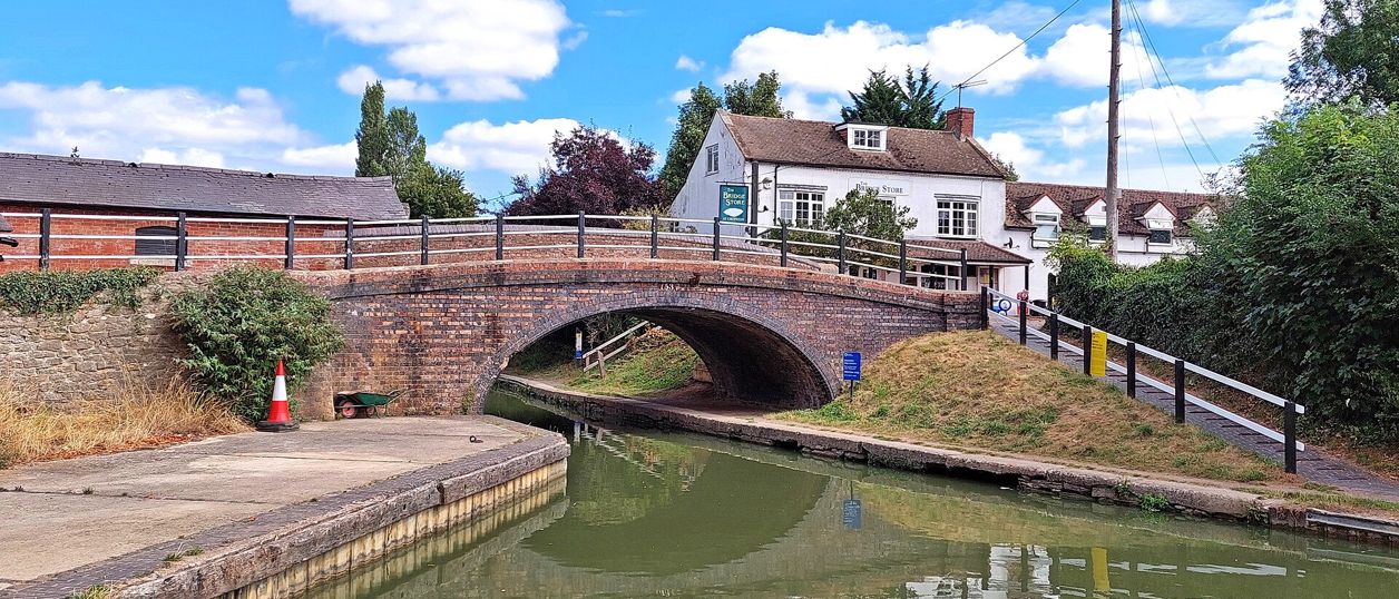
The best walks near Banbury are the Oxford Canal towpath north to Cropredy, the Banbury Ironstone Heritage Walk, a 9.6-mile circle from the station to Wroxton and back, and the Edgehill Circular along the ridge above the 1642 battlefield. For a short walk, the circles round Wroxton and Adderbury take about two hours, and in spring the bluebells at Badby Woods are the walk of the year.
How we chose: these are the walks we publish with a route you can download, plus the routes that councils, parishes and estates publish themselves, which we name in plain text. Every route of ours comes from an official leaflet, an OpenStreetMap trail or a route walked and reviewed by many people, and checked against the map. None has yet been walked by our own team with the GPX, and each walk's page says so until we have. Nothing here is paid for.
Walks from Banbury on foot
Two walks start in the town, and neither needs a car. Both begin on the canal towpath.
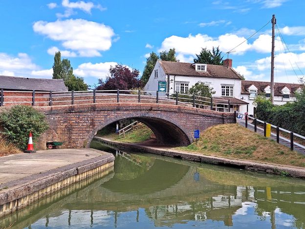
The towpath to Cropredy. The Oxford Canal towpath runs north from Tooley's Boatyard to Cropredy, about 4.5 miles (7.3km), level apart from the locks. At the far end are Cropredy Lock, the village and the bridge over the Cherwell where the royalists beat Sir William Waller in 1644. Buses back are rare, so walk both ways, about 9 miles in all, or take a taxi. The Oxford Canal near Banbury has the detail.
The Banbury Ironstone Heritage Walk. A 9.6-mile (15.5km) moderate circle from just outside Banbury station, about four hours with 180m of climbing. It follows the canal, skirts the northern estates, crosses the fields to Wroxton and North Newington and comes back past Banbury Cross to the station. It is the one walk here that shows you both the town and the ironstone villages in a day. Bolton Road, a council long-stay car park, was £7.50 for the day up to 6pm in 2026 (£2.20 on Sundays), or come by train.
Short circular walks west of Banbury: Wroxton and the Sor Brook
West of the town the land rises towards Wroxton, with the Sor Brook in the valley and a scatter of eighteenth-century follies in the fields. Two of our circles are here, each about two hours.
Broughton Road to Wroxton Obelisk Circular. A 4.5-mile (7.3km) moderate circle from a car park on the Broughton Road, about two hours on field paths. It crosses the Sor Brook, climbs to the Wroxton Obelisk, which commemorates a visit by Frederick, Prince of Wales, in 1739 (Historic England dates it to about 1750), and returns by the other bank. It passes Giant's Cave, a patch of rough pasture that legend links to a tunnel to Broughton Castle, but it does not go through Broughton or past the castle. There is no bus we can recommend.
North Newington and Wroxton Circular. A 3.3-mile (5.3km) moderate circle from Main Street in North Newington, about two hours. It follows field paths to the brook, climbs past the obelisk into Wroxton, thatched and ironstone round its duck pond, and returns over the fields. There is no car park, so park with care on Main Street. Stagecoach's 76 and 76A from Banbury stop at Wroxton on the A422, four or five times each way from Monday to Saturday and not on Sundays (November 2026).
Wroxton's pubs have both shut, so bring lunch or eat in Banbury. Wroxton Abbey does not allow dogs in its grounds, which a public footpath crosses, so check before you take a dog that way. Drayton Arch, a sham ruin of about 1750 on the Wroxton estate, stands in the fields near Drayton. The nearest public footpath on the county's map passes south of it, so check the map before you set out.
Walks south of Banbury: Adderbury, Bloxham and Deddington
The gentlest walking near Banbury is south of the town, by the Sor Brook and the Cherwell, and so is the best bus. The S4 between Banbury and Oxford runs through Adderbury and Deddington.
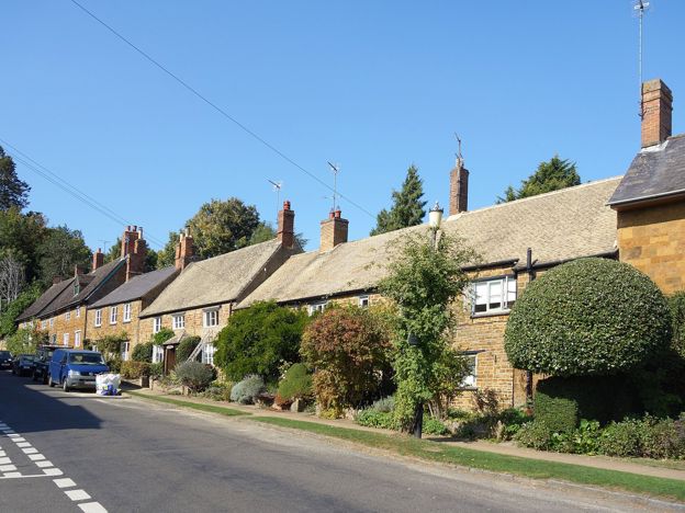
Adderbury and Bloxham Grove. A 3.1-mile (5.1km) easy circle from the Methodist chapel in East Adderbury, about an hour and a half with 73m of climbing, and some stiles. Field paths lead to Bloxham Grove and the Warriner Windmill, a small post mill of 1865, then down to Lower Grove Mill on the brook and back to The Green. St Mary's Church, open daily from 9.30am to 5pm, is less than 100m off the line, and the Bell is a minute from the start. The S4 runs about hourly Monday to Saturday and every 90 minutes on Sundays (November 2026): from Banbury get off at Adderbury, The Rise, and catch the bus back at the Methodist Church stop.
Cherwell District Council also publishes an Adderbury village trail of 1.8 miles (3km), mostly on village streets, and the parish looks after Adderbury Lakes, a small reserve open in daylight. At Deddington, a few miles further south, the castle banks are free in daylight and make a short walk of their own from the Market Place.
Edge Hill: the ridge walk and the battlefield
Edge Hill is the one proper ridge near Banbury, a wooded ironstone scarp about 7 miles north-west of the town with the 1642 battlefield on the plain below. The walking here is steeper than anywhere else in this guide, and the views are the reward.
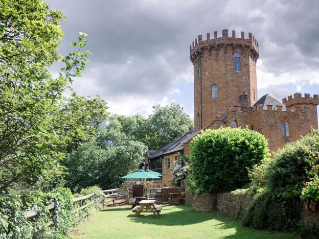
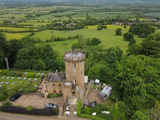
The Edgehill Circular. A 5.4-mile (8.6km) moderate circle from the Upton House car park, about two and a half hours with 220m of climbing. It follows the ridge to the Castle at Edgehill, a sham castle of the 1740s that is now a pub, and returns through Ratley. Expect six stiles, two flights of steps and 500m on the A422. The car park is the National Trust's, open only in the house and garden's hours and locked outside them, so finish before it shuts. Without a car, Stagecoach's 76A stops at Upton House once a day each way from Monday to Saturday: when we checked, it arrived from Banbury at 11.05am and left for Banbury at 3.01pm.
From Radway, at the foot of the hill, footpaths climb the scarp past St Peter's church, where a free exhibition tells the story of the battle. Below the Castle, Jacob's Ladder, a steep flight of stone steps, climbs the wooded slope, and the Edgehill Circular uses it. The Macmillan Way and Warwickshire's Centenary Way both pass along the ridge. The Edge Hill viewpoint guide says where you can see the field from, since most of it is closed Ministry of Defence land.
Hill walks and bluebells: Burton Dassett and Badby Woods
Two places nearby suit a walk without a fixed route, where you can wander and turn back when you like.
Burton Dassett Hills Country Park, about 8 miles north-west of Banbury in a straight line, is a hundred acres of open hilltop where walkers roam free over old quarry remains to the beacon. Parking was £3.50 a car for the day in 2026. There are no surfaced paths across the hills and the toilets open only from 9am to 3pm. All Saints, the Grade I church below the tops, is open every day until just before dark.
Badby Woods, on the Fawsley estate south of Daventry, has been woodland for more than seven hundred years, the parish says, and is famous for its bluebells in spring. It is private land open to visitors on permissive paths, with the Knightley Way along its edge, and the estate can close paths for forestry. Parking off Chapel Lane is for about 12 cars, so on a bluebell Sunday park at the A361 picnic area north of Badby and walk in on the footpath.

The Banburyshire newsletter
Events, new places and the best of the season, about once a month. Unsubscribe at any time.
Four more circles with a route: the Fringe, Kings Sutton, Sulgrave and Little Tew
Each of these follows a route that a council, a parish or an estate publishes, and each has a GPX to download. None has been walked by our team yet.
Banbury Fringe Circular Walk. Cherwell District Council's waymarked circle round the edge of the town, 10 miles (16.1km) on the council's figure and 10.6 miles (17.1km) on our line, moderate and four to five hours. It takes the Oxford Canal south to Bodicote, the Salt Way past Crouch Hill, field and wood paths by Giant's Cave, and an old ironstone railway back to the canal. It starts at the Riverside car park in Spiceball Park, a short walk from the station.
Kings Sutton Railway Walk from the Station. A 4.4-mile (7.1km) circle from Kings Sutton station on the parish's own Railway route, easy to moderate and about two hours. It climbs through the village past the spire, crosses the fields north and comes back over the railway on foot by the old Bog Spring. The station is one stop from Banbury.
Sulgrave and Culworth Circular. A 4.7-mile (7.5km) easy circle from Culworth to Sulgrave and back, about two hours, on Culworth Parish Council's own route. It passes an old drovers' inn, the HS2 works, Sulgrave's church and Norman mound, and Sulgrave's old windmill, now part of a house.
Great Tew and Little Tew Walk. A 3.2-mile (5.2km) circle on the Great Tew Estate's own Little Tew route, easy to moderate and about an hour and a half. It crosses the fields to Little Tew, swings south past Tracy Barn and comes back past the New Garden to the Falkland Arms.
Parish and estate walks worth knowing
Several villages and estates publish their own walks, free, and they are good routes in country we have not yet mapped ourselves. We have not checked them on the ground, so treat their distances as theirs.
At Great Tew, the estate publishes three walks as free PDF maps: the Golden Valley Walk, the Great Tew Park Walk and the Little Tew Walk. The estate gives no distances or stiles, so wear boots and allow time, and finish at the Falkland Arms. At Hook Norton, the local history group's booklet Hook Norton Footpaths (2020) gives eight circular walks from the village. At Kings Sutton, the parish's Around King's Sutton route is 2.4 miles, about 55 minutes, from a village with its own station one stop from Banbury.
Farnborough Hall, north of Banbury, has a 5.5-mile parkland walk published by the National Trust, from a car park open every day. And for the long view, the Battlefields Trust publishes its Battlefields Trail, 20 miles from Chipping Warden linking Edgcote, Cropredy Bridge and Edgehill, the three battlefields of the area.
Long-distance paths through Banburyshire
Several waymarked long-distance paths cross the country round Banbury, and short stretches of them make good there-and-back walks. The Jurassic Way passes Barn Farm Plants at Upper Wardington, where the Greenhouse Cafe is popular with walkers. The Knightley Way starts opposite Badby church and runs to Greens Norton near Towcester, and the Nene Way starts in Badby too. The Macmillan Way and the Centenary Way cross Edge Hill. The Battlefields Trust's trail uses OS Explorer 206.
Before you go: stiles, mud, dogs and buses
Most walks here cross working farmland, and that sets the rules. Expect stiles on nearly every field walk, livestock in the fields, and mud on the field paths in wet weather. Keep dogs on a lead near stock. Several Wroxton routes cross the Abbey grounds, where the Abbey does not allow dogs, and at Upton the National Trust asks for dogs under close control on its farmland.
Buses help on only a few walks. The S4 serves Adderbury and Deddington well, the 76 and 76A reach Wroxton except on Sundays, the 76A stops at Upton House once a day each way, and the Ironstone Heritage Walk starts at the station. For everything else, see buses from Banbury, and check each walk's own page for parking, which is short in most villages. Every walk page has the GPX to download.
Mentioned in this story
The places, sights and walks in this story, each with a page of its own: what it is, when to go and how to get there.
-
The Castle at Edgehill
Pubs · Edgehill and Radway
-
Upton House and Gardens
Historic houses and heritage
-
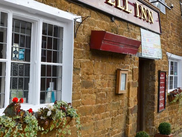
The Bell Inn, Adderbury
Pubs · Adderbury
-
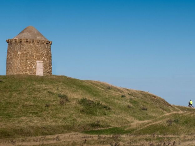
Burton Dassett Hills Country Park
Parks and gardens · Burton Dassett
-
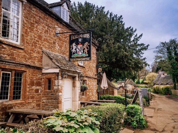
The Falkland Arms, Great Tew
Pubs · Great Tew
-
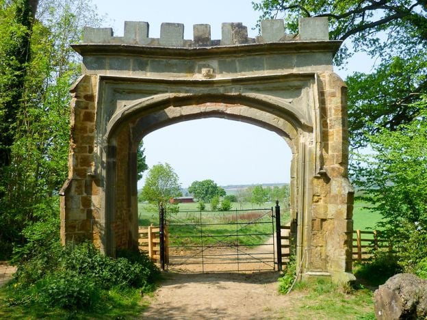
Badby Woods
Sight · Wood · Badby
-
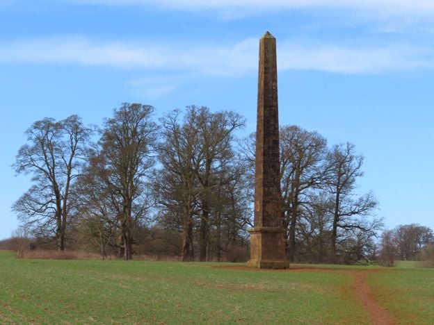
Wroxton Obelisk
Sight · Monument · Wroxton
-
Giant's Cave, Banbury
Sight · Common or park · Banbury
-
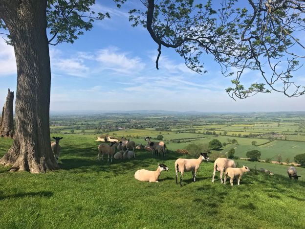
Edge Hill viewpoint
Sight · Viewpoint · Edgehill and Radway
-

Warriner Windmill, Bloxham Grove
Sight · Historic building · Bloxham
-
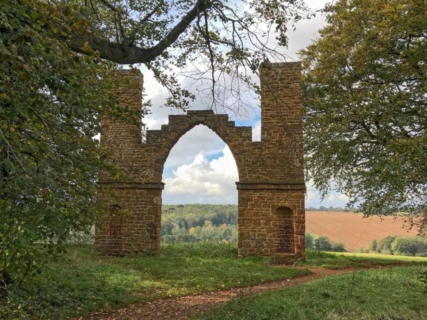
Drayton Arch
Sight · Historic building
-
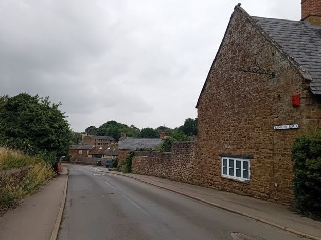
Banbury Ironstone Heritage Walk
Walk · Starts in Banbury · 4 hrs · Circular
-
Edgehill Circular
Walk · Starts in Edgehill and Radway · 2 hrs, 30 mins · Circular
-
Adderbury and Bloxham Grove
Walk · Starts in Adderbury · 1 hr, 30 mins · Circular
Places to stay near Banbury
-
Whately Hall Hotel, Banbury
Hotel · Banbury
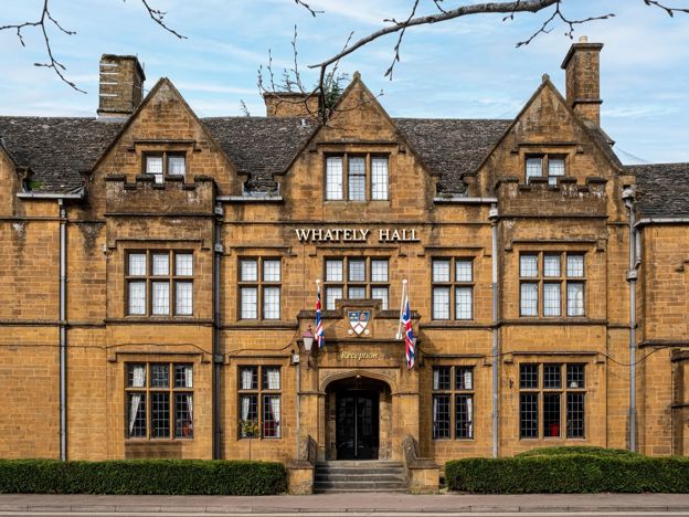
A Grade II listed 17th-century inn, now a 71-room hotel on Horse Fair in the middle of Banbury, with gardens, an oak-panelled restaurant and six EV chargers.
Dog-friendly · Family-friendly · Wedding venues
Verified Nov 2026
-
The Three Pigeons, Banbury
Pubs · Banbury
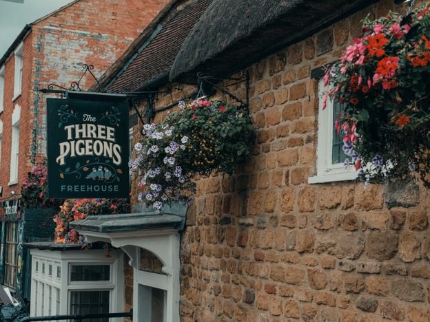
A Grade II listed 17th-century inn, partly thatched, on Southam Road, Banbury, with real ales and ciders, a courtyard, Smash Cow street food from Thursday to Saturday and three en-suite rooms.
Dog-friendly · Car-free
Verified Nov 2026
-
Banbury Cross Bed and Breakfast
B&B · Banbury
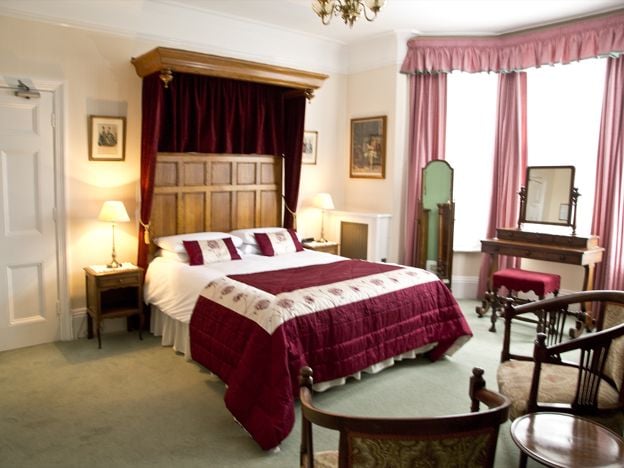
A family-run Victorian B&B on Broughton Road, Banbury, with seven bedrooms, about 370m from Banbury Cross, with free off-road parking, cooked breakfasts and rates from £77. No under-18s.
Car-free
Verified Nov 2026
Read next
-
The Oxford Canal near Banbury
Story · Guides · 9 minute read
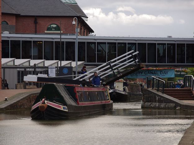
The Oxford Canal near Banbury: Tooley's Boatyard and the free museum in town, the towpath north to Cropredy, Aynho Wharf and its odd lock to the south, boat trips and day boats, canalside pubs, and what low water has done to the summers.
-
Villages near Banbury: the prettiest, and the best to live in
Story · Guides · 14 minute read
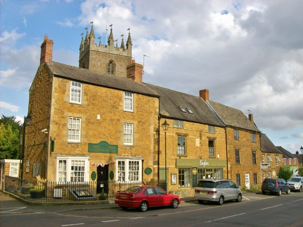
The villages near Banbury, group by group: ironstone, canal, the Edge, the Cherwell valley, the North Oxfordshire Cotswolds and South Northamptonshire. The prettiest are Great Tew and Wroxton. The best to live in are bigger, and they are not the same villages.
-
The Civil War in Banburyshire: Edgehill, Cropredy and Banbury's sieges
Story · History · 7 minute read
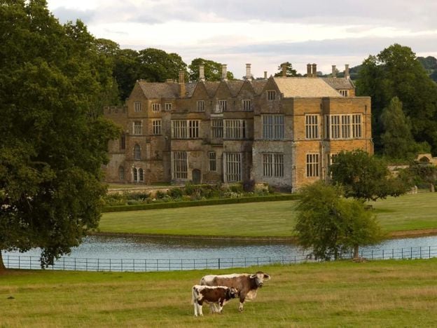
Banburyshire saw the Civil War's first great battle at Edgehill in 1642, a Royalist win at Cropredy Bridge in 1644 and two sieges of Banbury Castle. By 1648 the castle had been pulled down. Banbury lost hundreds of its people, and this is how it happened.