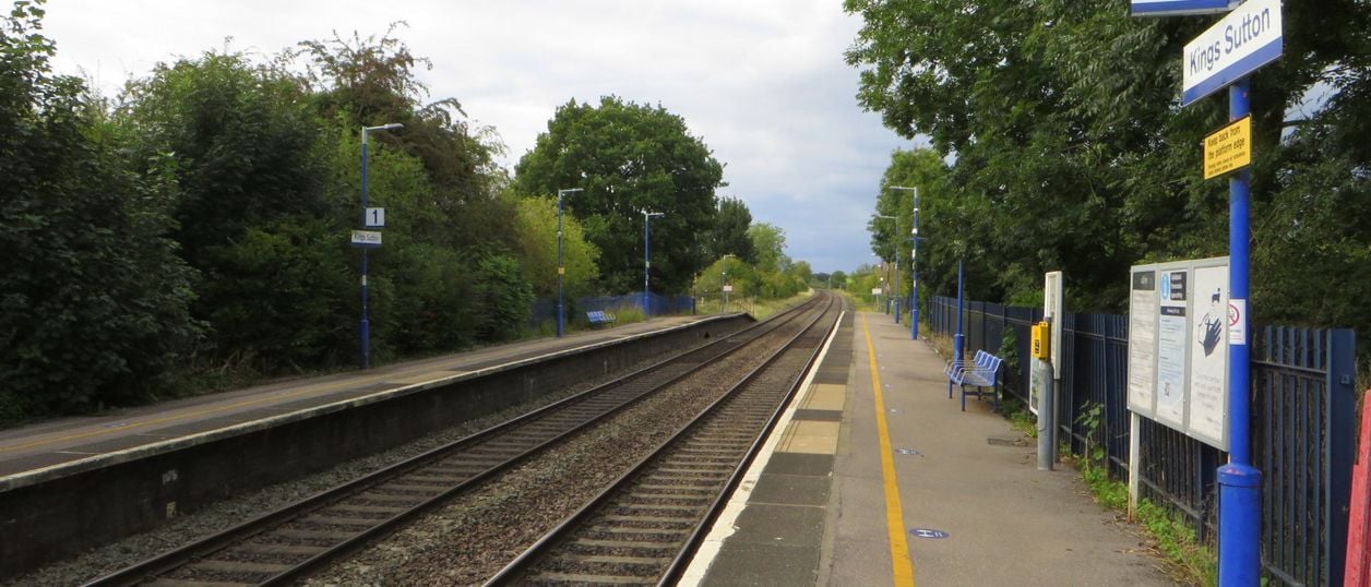
Philip Jeffrey, CC BY-SA 2.0, via Wikimedia Commons
Kings Sutton Railway Walk from the Station
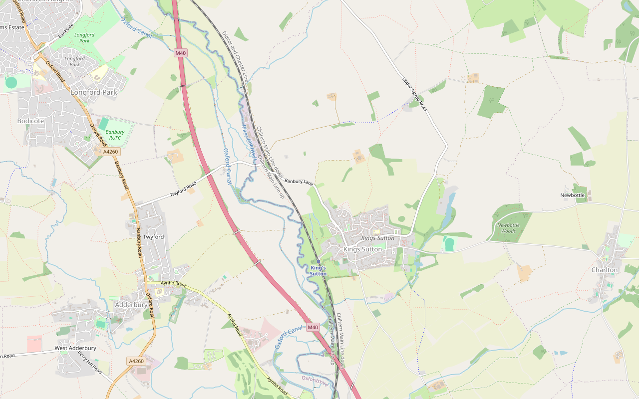
A 4.4-mile (7.1km) circular walk from Kings Sutton station on the parish's own Railway route, easy to moderate and about two hours. It climbs through the village past the spire, crosses fields north, and returns over the railway line on foot by the old Bog Spring.
- Distance
- 7.1 km (4.4 mi)
- Difficulty
- Easy
- Time
- 2 hrs
- Ascent
- 39 m
- Circular
- Circular
The route
Starts at Kings Sutton station (OX17 3RR) StilesMuddy in winterRoad walking Download GPX
Step by step
-
Step 1: Station to The Square
From the station, walk east up Wales Street and follow the path ahead past the houses to the lane at the end. Turn right onto the footpath and through the gate into the field (OpenStreetMap also maps a stile here). Climb the slope with the fence on your right, through two gates, and turn left along the track to Mill Lane.
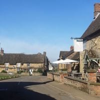
Turn left up Mill Lane, past the White Horse, into The Square below the church. The Butchers Arms is a few steps along Whittall Street. Then turn right along Astrop Road to the Millennium Memorial Hall, where the parish's leaflet starts its walks.
- Stiles
-
Step 2: North across the fields
From the hall, turn left along the path through the gate into Newlands, and climb to the top of Blenheim Rise. Bear left across the road to the path between the houses, which leads to the fields.
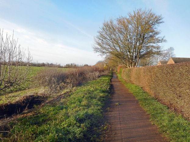
Follow the footpath north across the fields for about a kilometre. The parish's route goes into a wood near Field Barn and along field edges here; those paths are not mapped in OpenStreetMap, so our line keeps to the public footpath to the bridleway and turns west along it. Follow the bridleway, a concrete farm track for much of the way, west for about 1.5km and over the railway bridge to Banbury Lane.
- Muddy in winter
-
Step 3: Over the railway and back by the Bog Spring
On Banbury Lane, bear right across the road to the stile on the left before the bridge, and follow the footpath south-east across the field to a second stile. Here the path crosses the main railway line on foot. Stop, look and listen, cross quickly and keep children and dogs close.
Turn right into the meadow and follow the path over two footbridges, past the Bog Spring on your left. Cross a third footbridge to the path between the houses, turn right into Wales Street and follow it back down to the station.
- Stiles
Sights on the way
The sights this walk passes, numbered as on the map.
-
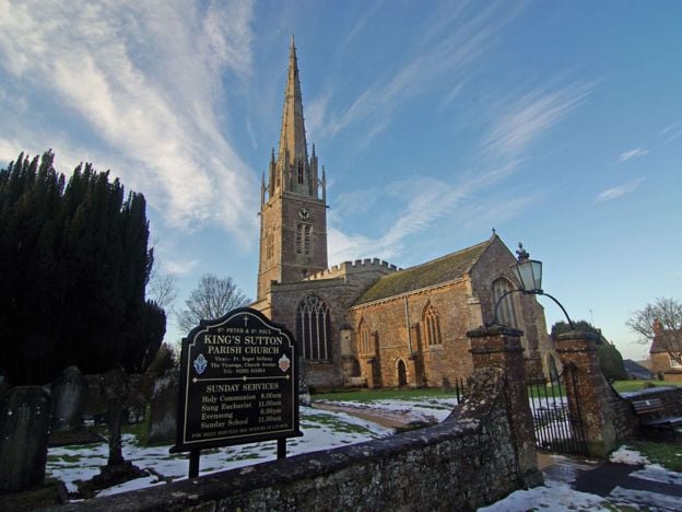
St Peter and St Paul's Church, Kings Sutton
Sight · Church · Kings Sutton
The Grade I church on The Square at Kings Sutton, whose crocketed spire of about 1370, given as about 60m, is the beauty in the old rhyme. Norman arcading, painted roof bosses and a Resurrection monument inside. Open in daylight.
The walk in detail
The Kings Sutton Railway Walk is a 4.4-mile (7.1km) loop from Kings Sutton station, one stop south of Banbury. It follows the parish council's own Railway route, one of six walks in its leaflet, and joins it from the station rather than the village hall. It is easy to moderate, with about 39m of climbing, and takes about two hours. Expect stiles, mud in wet weather, and one crossing of the railway line on foot.
It suits a train day: come out from Banbury on a morning train, walk up through Kings Sutton to The Square and the church, cross the fields north of the village and come back by the river meadows to the platform.
The village and its spire
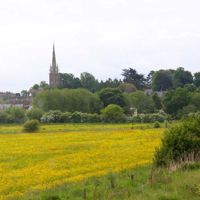
The walk climbs from the station into the old village, to The Square at the top of Mill Lane. The church of St Peter and St Paul stands above it, listed Grade I, with a crocketed spire of about 1370 and about 60m high. The parish leaflet quotes Pevsner calling it the finest spire in a county of spires, and you see it from most of the walk. The church is open in daylight hours and says it welcomes walkers and dogs.
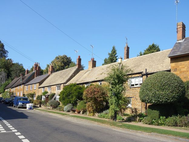
Round The Square, the black and white Court House dates from about 1550, and the Manor House from around 1650. Many houses here were rebuilt after a fire in 1785. The houses are private, so see them from the street.
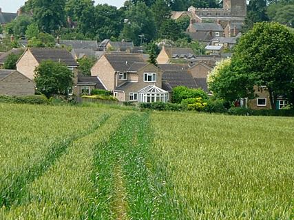
North of the village
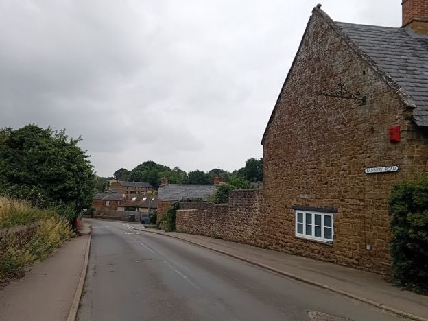
Beyond the new houses the walk is in open farmland, on a footpath across the fields and then a bridleway west along a farm track. The parish's leaflet takes a slightly different line near Field Barn, through a wood and along field edges that are not mapped; our line stays on the mapped footpath and bridleway to the same track. The track crosses the railway on a bridge and meets Banbury Lane, near the Oxford Canal. The parish says no path links the village directly to the towpath, so this is as close as the walk comes.
The railway and the Bog Spring
The walk earns its name on the way back. From Banbury Lane a footpath crosses the field to stiles either side of the main line, and you cross the tracks on foot. This is a public footpath crossing, as the parish's leaflet directs, on a working main line: stop, look both ways, listen, and cross without stopping.
Beyond the line, the path follows the meadows past the Bog Spring, a saline spring opened as a well in 1749. It belongs to the spa years of Kings Sutton: after the Restoration a spring at nearby Astrop was found to have healing powers, and the spa there flourished for about a century. Three footbridges and a path between houses bring you out on Wales Street, a few minutes from the platform.

The Banburyshire newsletter
Events, new places and the best of the season, about once a month. Unsubscribe at any time.
Pubs, trains and parking
Two pubs stand near The Square, about a kilometre into the walk. The Butchers Arms on Whittall Street is open every day from noon and has a large garden. The White Horse, on The Square, has a terrace looking at the church and takes dogs in the bar.
The station is unstaffed, with no toilets, and the free car park has 23 spaces. Platform 2, for Oxford and London Marylebone, is step-free; platform 1, northbound to Banbury, is over a stepped footbridge. Check the timetable before you set out, particularly on a Sunday.
For another walk from a station, the Heyford station and Rousham walk starts on the platform at Lower Heyford, further south on the same line. From Banbury, the Oxford Canal to Cropredy is a flat towpath walk, and the Banbury Fringe Circular Walk goes right round the town.
The route
This line follows the parish's Railway walk along paths mapped in OpenStreetMap, checked against West Northamptonshire Council's rights of way data. The parish says its walks use only public rights of way, can be muddy and liable to flood, and do not suit people with limited mobility. Nobody from this guide has walked it yet; take OS Explorer 191, which the parish recommends.
Places on the way
-
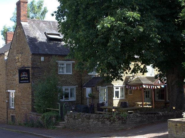
The Butchers Arms, Kings Sutton
Pubs · Kings Sutton
A village pub on Whittall Street in Kings Sutton, open every day from noon to 10pm, with a large garden, parking and main, Sunday, lunch and buffet menus all updated in autumn 2026. A plain local, handy for the spire and the station.
Verified Nov 2026
Stay near the start
Inns, cottages and hotels within a short drive of where the walk begins, so you can set off early.
Where to stay in Kings Sutton-
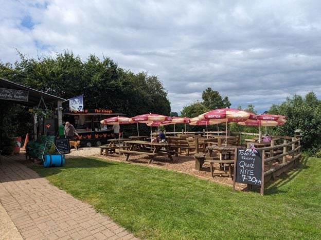
The Pig Place, Adderbury
Camping · Adderbury
A rustic, adults-only campsite beside Nell Bridge Lock on the Oxford Canal near Adderbury, with dogs free, off-lead space, pitches from £12, and a café, bar and music in summer. No showers.
Dog-friendly · Walker-friendly
Verified Nov 2026
-
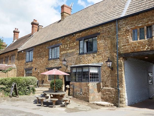
The Red Lion, Adderbury
Pubs · Adderbury
A Grade II listed Greene King pub and inn on The Green at Adderbury, serving food from breakfast to 9pm every day, with a car park, a beer garden and rooms.
Dog-friendly · Family-friendly
Verified Nov 2026
-
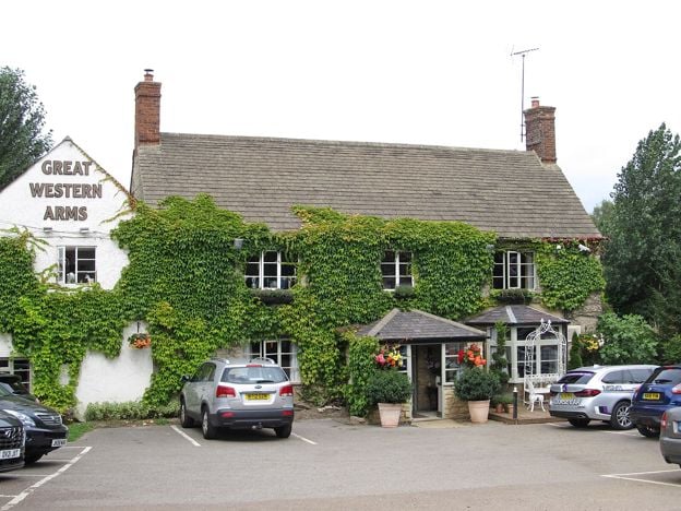
The Great Western Arms, Aynho
Pubs · Aynho
A Hook Norton pub with four rooms between the Oxford Canal and the old Aynho station, about 15.5 miles by road from Silverstone. It sells itself as a base for the circuit, Bicester Village and Blenheim Palace. A small place, so rooms for a race weekend will not last.
Verified Nov 2026
More like this
Stories on this walk
-
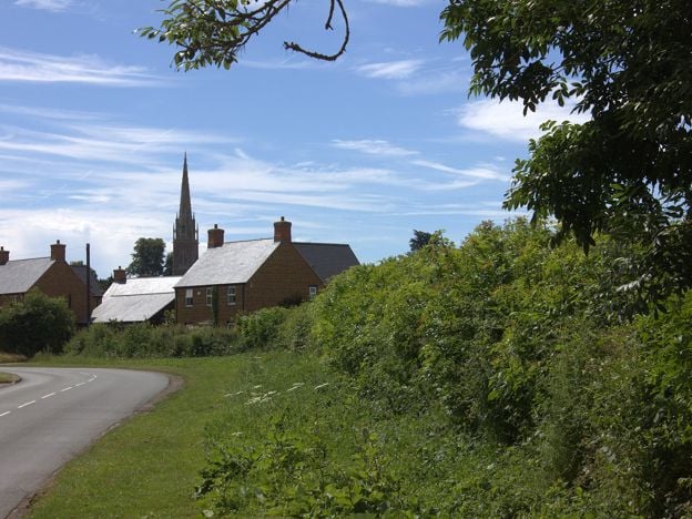
Kings Sutton: the spire, the three-day saint and the lost spa
Story · History · 6 minute read
Kings Sutton has a spire of about 60m that Pevsner called the finest in a county of spires, a legend of an infant saint who spoke at birth and died at three days old, and the ruins of a spa the gentry rode to in the seventeenth century. What is record, and what is tradition.
More walks to try
-
Banbury Fringe Circular Walk
Walk · Starts in Banbury · 5 hrs · Circular
A 10.6-mile (17.1km) waymarked circular walk round the edge of Banbury, moderate and about five hours: the Oxford Canal south to Bodicote, the Salt Way past Crouch Hill, field and wood paths by Giant's Cave, and an old ironstone railway back to the canal.
-
Adderbury and Bloxham Grove
Walk · Starts in Adderbury · 1 hr, 30 mins · Circular
A 3.1-mile (5.1km) circular walk from the Methodist church in East Adderbury, about an hour and a half of easy walking with stiles. Field paths lead to Bloxham Grove and its small windmill, down to Lower Grove Mill on the Sor Brook, and back to The Green.
-
Banbury Ironstone Heritage Walk
Walk · Starts in Banbury · 4 hrs · Circular
The Banbury Ironstone Heritage Walk is a 9.6-mile (15.5km) moderate circular walk from Banbury station, about four hours with 180m of climbing. It follows the canal, skirts the northern estates, reaches Wroxton and North Newington, and ends at Banbury Cross.