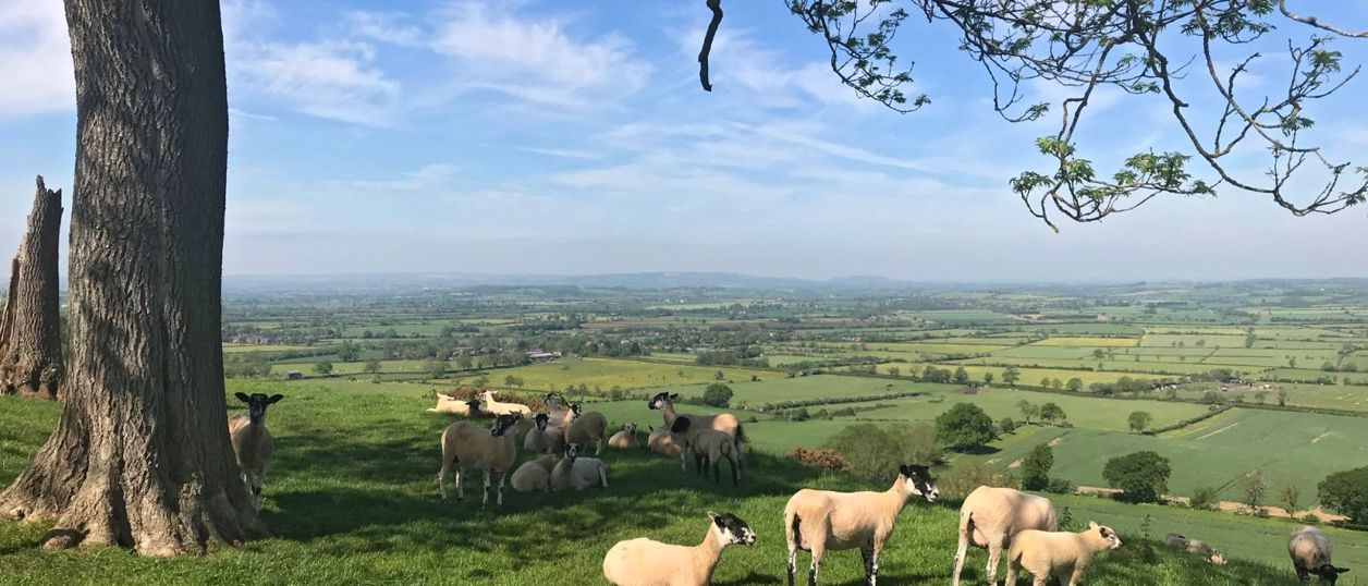
Edge Hill viewpoint
The long view from the top of Edge Hill, north-west of Banbury, across the plain where the Battle of Edgehill was fought in 1642. There is no signed viewpoint: the ridge road, the footpaths and the garden of a 1740s sham castle are how you see it.
Viewpoint
Edgehill and RadwayThe Edge Hill viewpoint is the crest of the ironstone ridge at Edgehill, about 7 miles north-west of Banbury, looking out over the Warwickshire plain where the first pitched battle of the Civil War was fought in 1642. There is no signed viewpoint. You see it from the ridge paths and from a sham castle that is now a pub.
What you are looking at
The ground below is the reason to come. On Sunday 23 October 1642 the Royalist army of Charles I stood on this ridge and came down to meet the Earl of Essex's Parliamentarians on the plain between Radway and Kineton. Our page on the battlefield has the story, and it explains why this view matters so much: most of the field is now Ministry of Defence land, closed to the public, and the ridge is where you can make sense of it.
How far you can see depends on the day and on who is telling you. Hook Norton Brewery's page for the Castle says its garden and terrace look across several counties, with the Malverns and the Broadway hills plain to see and the Wrekin and the foothills of Wales possible in clear weather. The Castle’s own site settles for some of the best views across the Warwickshire countryside. We have not tested those claims, so treat the far hills as a bonus. Upton House and the country on top of the ridge lie behind you, and the slope in front drops through Castle Wood, so do not expect an unbroken panorama from every point on the road.
The tower on the edge
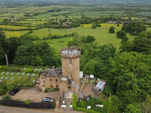
The landmark is an ornamental sham castle, built about 1746 to 1747 by Historic England's reckoning. Sanderson Miller, the gentleman architect who lived at Radway Grange below, designed it for himself. The listing describes an octagonal tower in castellated Gothick, five storeys at the front and six at the back because the ground falls away so sharply. It is listed Grade II*, as is its gatehouse. Miller was working at Wroxton in the same years, and his Drayton Arch is a cousin of this building.
The story goes that the tower stands where the King raised his standard before the battle, and that this may be why Miller chose the spot. It is a good story, and we know of no record that fixes the standard here.
The Castle is now a Hook Norton pub with rooms. Its own site, read on 4 November 2026 with dated November events, gives the address as OX15 6DJ and the phone number as 01295 670255. If you want the view with a drink in your hand, it is the one place on the ridge we could confirm is trading.
Walking the ridge
Warwickshire's Centenary Way runs along the top of the ridge here, and walkers' guides put the Macmillan Way through Ratley, just to the south west. Paths along the scarp lead on towards the A422 at the top of Sunrising Hill, the steep climb of the main road up the edge. Its reputation goes back a while: the Shakespeare Birthplace Trust keeps postcards of a motor accident on Sunrising Hill on 10 June 1907.
From below, Walking Britain publishes a circuit of 5.4 miles (8.8km) from Radway, at the foot of the escarpment, with about 273m of climbing, up through the woods and along the Centenary Way. The National Trust names Jacob's Ladder, a long stone staircase near the ridge, on its own walk from Upton House. Check the line on an OS map, because none of this is a signed viewpoint route, and expect a steep climb.
Visiting
Come on a clear day, because in low cloud or haze there is little to see and no museum to fall back on. The ridge has no hours and no charge. The Battlefields Trust put an interpretation panel on the battle in the Castle’s beer garden in 2006, and Historic England’s entry for the battlefield points to an old stone seat below the Castle, next to the footpath, with a fine view of the field. Beyond those we could not confirm a public car park, toilets or a board, and the lay-by one walking guide mentions at the top of Sunrising Hill is on the main road, so take care if you use it. The 23 October anniversary is the obvious date for the history, but we found no event confirmed for a coming year.
Do the church first. The exhibition on the battle at St Peter's in Radway, free when it opened in 2015, makes the view mean more; we found no current opening hours, so check with the parish before you go. And the National Trust at Upton House has run guided walks of the battle, so look at its events.
Getting there
By car, take the A422 from Banbury, about 7 miles, and follow the signs for Edgehill. Use OX15 6DJ for the Castle. For the climb, go to Radway and park near the church. In November 2026 the Stagecoach 76A ran one return a day except Sundays from Banbury, reaching Radway at 11.12am and leaving at 2.57pm, which leaves a little under four hours. Check Traveline before you rely on it.
Nearby
Our guide to Edgehill and Radway has the rest of the practical detail. Burton Dassett Hills gives another long view over the same plain, with a car park. The ridge is built of Hornton stone, the subject of our story on the ironstone villages, and the legend of the armies in the sky is told in the haunted battlefield. The Civil War in Banburyshire follows the campaign on to Cropredy Bridge.
Walks past Edge Hill viewpoint
-
Edgehill Circular
Walk · Starts in Edgehill and Radway · 2 hrs, 30 mins · Circular
The Edgehill Circular is a 5.4-mile (8.6km) moderate circular walk from the Upton House car park, about two and a half hours with 220m of climbing. It follows the Edge Hill ridge to the Castle pub, returns through Ratley, and has six stiles and 500m on the A422.
Stay and eat near Edge Hill viewpoint
-
Upton House and Gardens
Historic houses and heritage
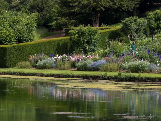
A National Trust house on the Edge Hill ridge, remodelled in the 1920s for the oil magnate Lord Bearsted to show his paintings by Bosch, El Greco, Stubbs and Hogarth, above terraced gardens that drop 30m to a Mirror Pool.
Family-friendly · Dog-friendly · Rainy days
Verified Nov 2026
-
Burton Dassett Hills Country Park
Parks and gardens · Burton Dassett
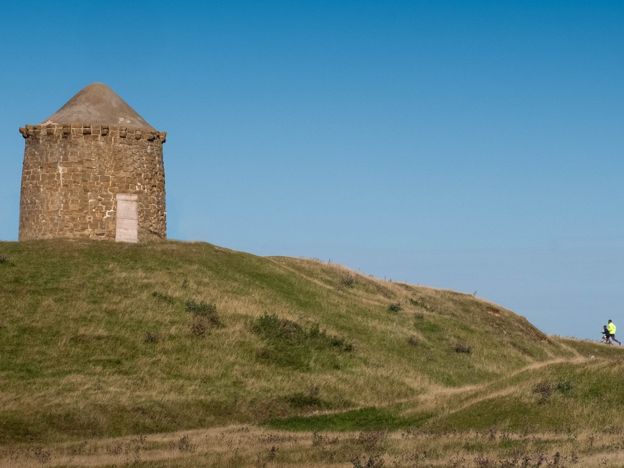
A hundred acres of open hilltop in south Warwickshire with wide views, old quarry workings and a beacon, plus the medieval church of All Saints. A country park since 1971. Car parking £3.50 a day.
Dog-friendly · Family-friendly · Walker-friendly
Verified Nov 2026
-
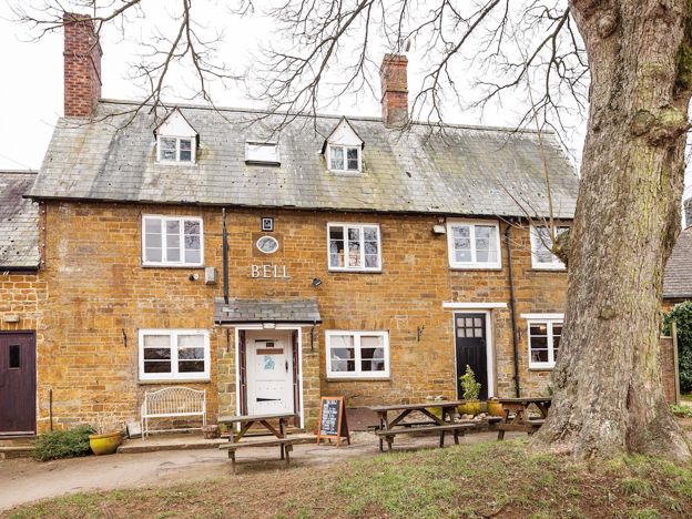
The Bell, Shenington
Pubs
An ironstone country pub on the village green at Shenington, opened in 1700, with a log fire, flagstones, a short chalkboard menu that changes with the seasons, and dogs and muddy boots welcome.
Dog-friendly · Family-friendly · Walker-friendly
Verified Nov 2026
Stories about Edge Hill viewpoint
-
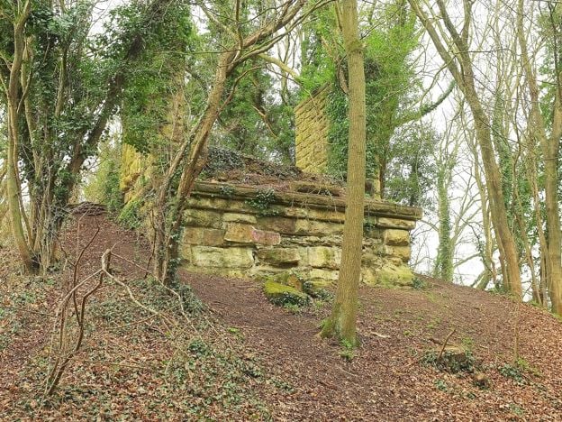
The ironstone railways of Banburyshire: Wroxton, Hook Norton and Edge Hill
Story · History · 7 minute read
For half a century the hills west of Banbury were dug for iron ore and carried away by rail: a busy private line from Wroxton, a narrow gauge tramway at Hook Norton and a light railway on Edge Hill that barely ran. What they were, why they closed and what you can still trace.
-
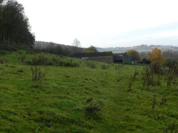
The Red Horse of Tysoe: the lost hill figure under Edge Hill
Story · Strange Things · 5 minute read
A great horse was cut into the red hillside above Tysoe, under Edge Hill, and scoured each year in the eighteenth century. It gave the Vale of the Red Horse its name, then was lost around 1800. Who said they saw it, the legend of the Earl of Warwick, and what the diggers found.
-
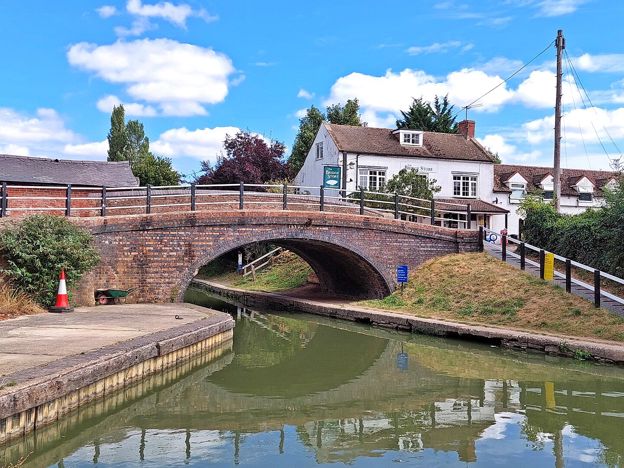
Walks near Banbury
Story · Guides · 8 minute read
Walks near Banbury: the towpath to Cropredy, the Ironstone Heritage Walk from the station, short circles round Wroxton and Adderbury, the Edgehill ridge, Badby's bluebell wood and the parish walks at Great Tew, Hook Norton and Kings Sutton, with distances, stiles and parking.
More sights to see
-
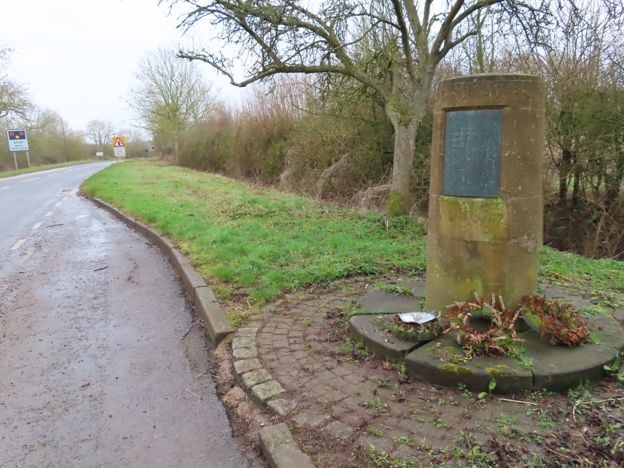
Edgehill battlefield
Sight · Monument · Edgehill and Radway
The first pitched battle of the English Civil War was fought below Edge Hill on 23 October 1642. Most of the field is now closed Ministry of Defence land, so you see it from the ridge and from a roadside memorial stone. Registered by Historic England.
-
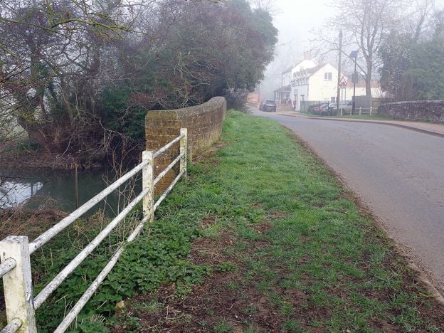
Cropredy Bridge
Sight · Bridge · Cropredy
The bridge over the River Cherwell at Cropredy, north of Banbury, where a royalist army beat Sir William Waller on 29 June 1644. This is a 1937 rebuild faced in old Hornton stone, with an inscription on its south side. Free to see at any time.
-
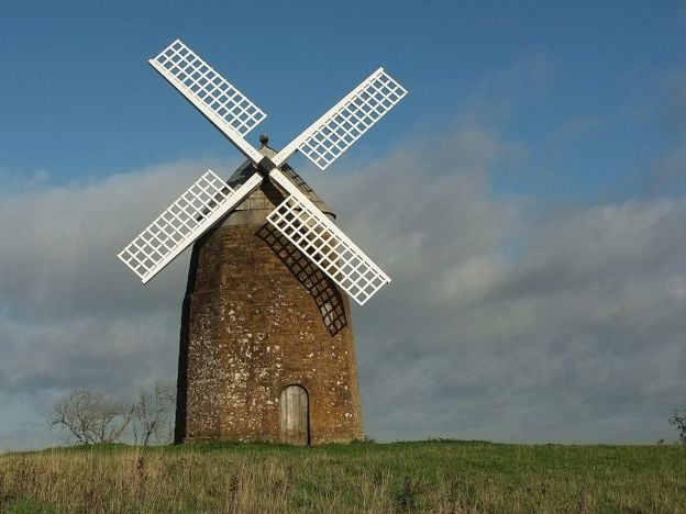
Tysoe Windmill
Sight · Historic building · Tysoe
An eighteenth-century ironstone tower mill on Windmill Hill above Upper Tysoe, Grade II, which worked until lightning struck it in 1915 and still holds its machinery. Seen from a public footpath that passes beside it; not open inside.