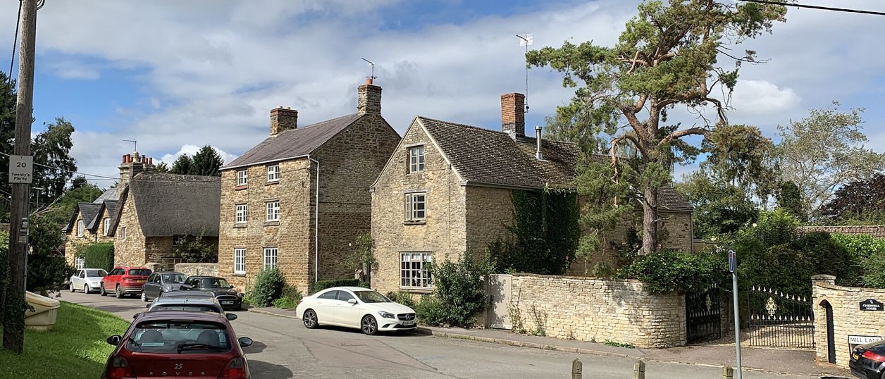
Andrew Abbott, CC BY-SA 2.0, via Wikimedia Commons
Upper and Lower Heyford
Two Cherwell villages between Banbury and Bicester: Lower Heyford, with its station, medieval bridge and canal wharf, and Upper Heyford, with a fifteenth-century barn and the old Cold War airbase, now Heyford Park, beside it. Rousham's garden is across the bridge.
- Nearest station
- Heyford, in Lower Heyford, on the Banbury to Oxford line; Upper Heyford is about 1.25 miles away, Heyford Park about 2
- Parking
- Heyford station car park in Lower Heyford, which National Rail lists with 28 spaces. We found no other public car park in either village
About Upper and Lower Heyford
Lower Heyford and Upper Heyford stand about a mile apart on the east bank of the Cherwell, some 10 miles south of Banbury and 6 west of Bicester. Both names come from a ford used at hay harvest. The river, the Oxford Canal and the railway run side by side along the valley floor below them, and on the plateau above is the former RAF Upper Heyford, now the new settlement of Heyford Park. Come for the canal, the old bridge, the airbase tours and, across the river, Rousham's garden. It is a half day, or a full one with Rousham.
What to see in Lower Heyford
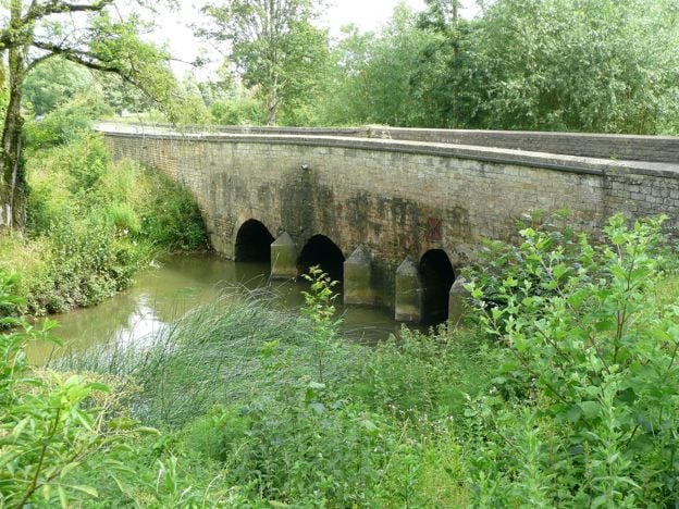
Heyford Bridge carries the Bicester to Enstone road over the Cherwell at the west end of the village. It is first recorded in 1255, the chamfered vaulting ribs of the arches at its eastern end are probably late thirteenth century, and it is listed Grade II*. By 1840 heavy turnpike traffic had left it in ruins; the county sued the parish for neglect, lost, and paid for its repair in 1842.
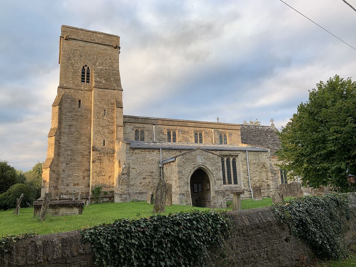
The old village gathers round a small square that served as a market place in the mid-nineteenth century. Its houses are of local ironstone, some thatched. The manor house, down the lane to the west, was rebuilt in 1669 and keeps a datestone with the initials of William and Elizabeth Bruce. St Mary's church beside it is listed Grade II*. The county history recorded a piece of glass of 1569 in a vestry window, with the pelican crest of Corpus Christi College, Oxford, which bought the manor in 1533. We found no published opening hours for the church.
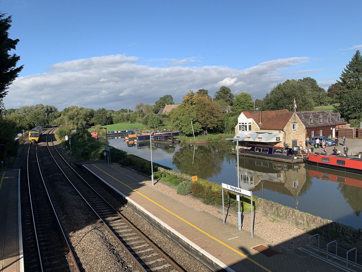
The canal reached Heyford in 1790, and a wharf was built on it. Heyford Wharf on Station Road is now the base of Oxfordshire Narrowboats, which hires day boats, short breaks and holiday boats on the Oxford Canal and runs a boatyard there.
Upper Heyford and its barn
Upper Heyford climbs the hill from the church and Manor Farm, close above the river. William of Wykeham bought the manor in 1380 for his New College, Oxford, which received it in 1382, and the finest building is the college's barn, south of Manor Farmhouse: built of coursed rubble, probably for the college in the early fifteenth century, 37 metres long and 7 wide, and listed Grade I. The county history set it beside the barns at Adderbury and Swalcliffe. It stands on private farmland, and we found no public access.
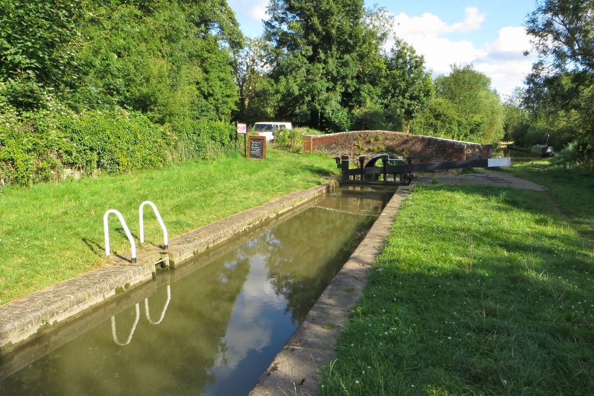
St Mary's was rebuilt in the nineteenth century, largely through Charles Mount, rector from 1865 to 1878, and reopened in 1867; only its medieval tower survives, and the buttresses carry New College's arms. Below the village, Allen's Lock takes the canal past it.
Heyford Park and the airbase
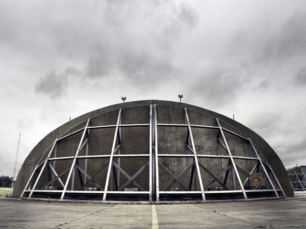
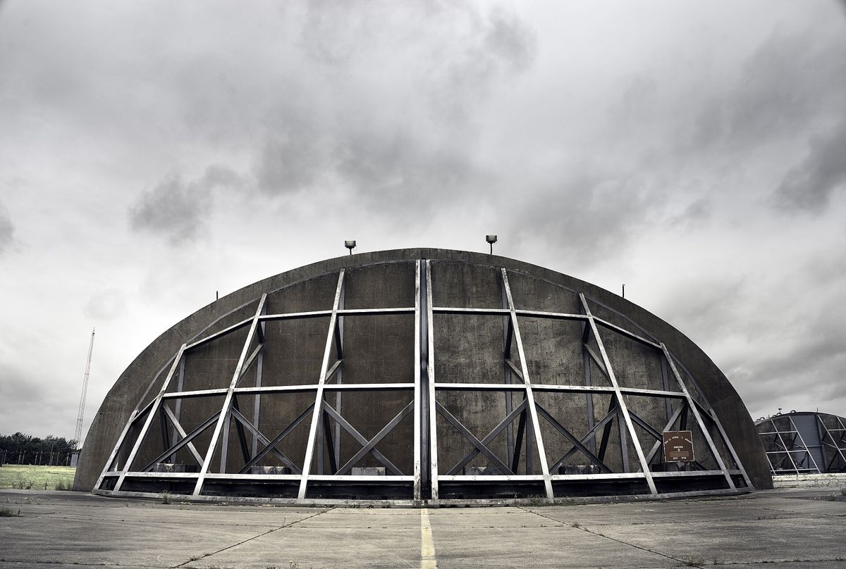
The RAF station on the plateau was begun in 1925 and leased to the United States Air Force in 1951; its story is told in RAF Upper Heyford. The old base is now the settlement of Heyford Park, and its Cold War shelters and bomb stores are a scheduled monument; the control tower and three nose dock hangars are listed. You cannot wander the airfield. The RAF Upper Heyford Heritage Centre opens on Wednesdays, Saturdays and Sundays and runs pre-booked tours of the Cold War airbase on most Sundays from March to November. Book before you come.
Rousham across the bridge
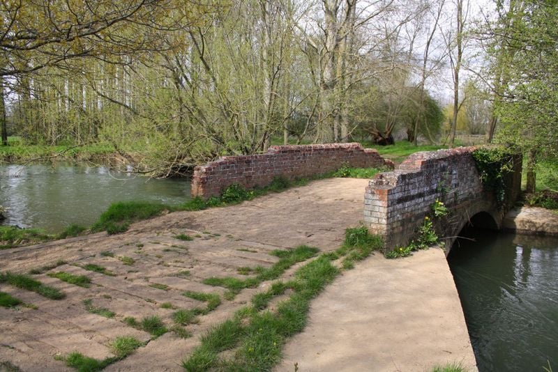
Over Heyford Bridge is Rousham, whose garden William Kent laid out in the eighteenth century. Its own site gives the garden open every day from 10am, last admission 4.30pm, at £10 a head paid on arrival, with no dogs, no children under 15 without prior permission, and no tea room or shop, so bring a picnic. That page carries a 2021 date, so check before you set out. Kent's Eyecatcher for the view from Rousham stands across the valley in Steeple Aston parish.
A day at the Heyfords
On a Sunday from March to November, take a booked morning tour at Heyford Park; tours start at 10am and run three hours or more. Then drive down to Lower Heyford, cross the bridge for a picnic and an afternoon in Rousham's garden, and finish at the wharf if Kizzies is open. On other days, come by train to Heyford station, walk up to the square and the church, out to the bridge and Rousham, and back along the towpath.
Walks from the Heyfords
Cherwell District Council publishes a 4.8-mile loop from Heyford station to Steeple Aston and Rousham's Eyecatcher, back by the canal. When we last checked, the council's own guide said part of it was impassable because of flooding on the low ground west of the canal, so read that notice before you go. The towpath itself is level, running north past Allen's Lock towards Somerton and south towards Kirtlington.
Food and drink
Kizzies, the café at Heyford Wharf beside Oxfordshire Narrowboats (opens in a new tab), is the nearest stop. The boat company's site gives it as open 9am to 5pm daily, but the same page still carries an old closure notice, so ring the wharf before you rely on it. The Bell on Lower Heyford's square, a seventeenth-century house, closed in April 2025, and we found no news of its reopening. Upper Heyford has the Barley Mow, and the Horse and Groom stands at Caulcott, a mile east of Lower Heyford, but neither has a website of its own that we could find, so ring before you rely on either.

The Banburyshire newsletter
Events, new places and the best of the season, about once a month. Unsubscribe at any time.
When to come
From March to November, for the Sunday airbase tours, and in dry weather: the county history notes that the Cherwell meadows flood, and the railway embankment made it worse. The heritage centre is closed on Mondays, Tuesdays, Thursdays and Fridays.
Last verified 11 November 2026 by our editors
Things to do in Upper and Lower Heyford
Sport and activity · Bicester
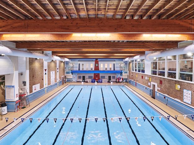
Bicester Leisure Centre
The town's public pool and sports centre on Queens Avenue, run for Cherwell District Council, with a 25m pool, a 15m learner pool and pay-as-you-go public swims booked online.
Where to stay in Upper and Lower Heyford
-
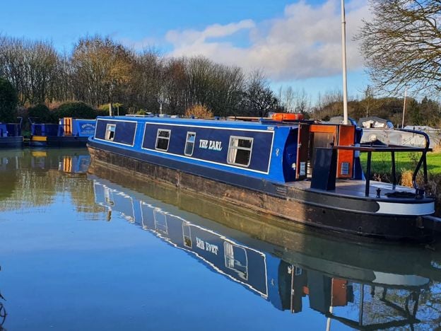
Oxfordshire Narrowboats, Lower Heyford
Self-catering · Upper and Lower Heyford
Self-drive narrowboat holidays, short breaks and day boats from Heyford Wharf on the Oxford Canal at Lower Heyford, from mid March to the end of October, for 2 to 12 people, dogs included.
Dog-friendly · Family-friendly
Verified Nov 2026
-
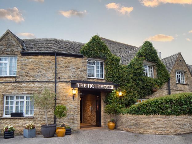
The Holt Hotel, Steeple Aston
Hotel · Steeple Aston
An independent 87-room hotel in an old coaching inn at the Hopcrofts Holt crossroads on the A4260 near Steeple Aston, with a bar, restaurant, afternoon teas and a Sunday carvery, about 15 minutes' drive from Bicester Village.
Family-friendly · Wedding venues · EV charging
Verified Nov 2026
-
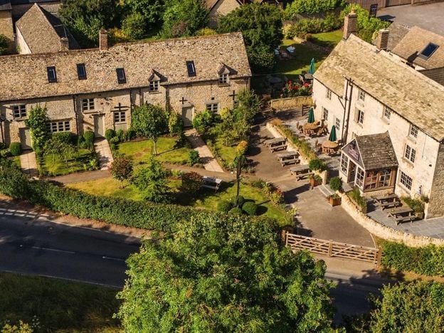
The Killingworth Castle, Wootton
Restaurants
A serious dining pub with eight rooms at Wootton near Woodstock, with 3 AA Rosettes and a Michelin Guide recommendation for 2026, à la carte and tasting menus, and open from Wednesday to Sunday.
Dog-friendly · EV charging
Verified Nov 2026
Where to eat and drink in Upper and Lower Heyford
-
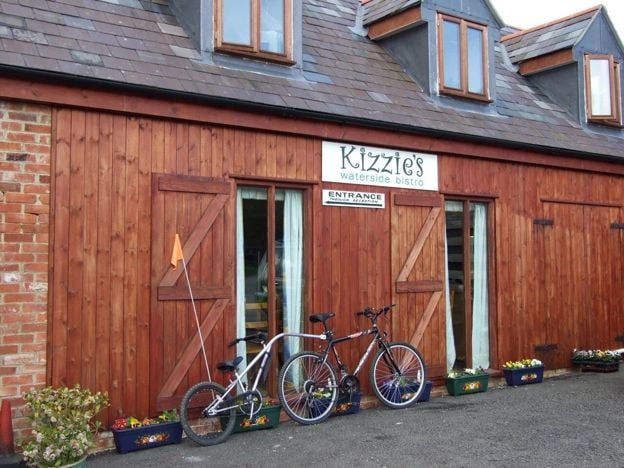
Kizzies Bistro, Lower Heyford
Cafes and tearooms · Upper and Lower Heyford
A café, bar and village shop at Heyford Wharf on the Oxford Canal in Lower Heyford, open daily from 9am to 5pm by its own page, with breakfast, lunch, local cakes and a large garden by the moorings.
Walker-friendly · Family-friendly
Verified Nov 2026
-
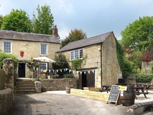
The Chequers, Steeple Aston
Pubs
The former Red Lion at Steeple Aston, reopened in July 2026 under its original name of The Chequers: a Hook Norton pub established in 1765, with seasonal British food, a terrace and Sunday roasts.
Verified Nov 2026
-
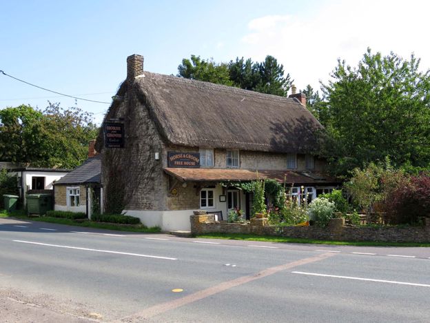
The Horse and Groom, Caulcott
Pubs · Upper and Lower Heyford
A tiny family-run free house on the Lower Heyford road at Caulcott, where the landlord, a chef with a fine-dining background, cooks a changing menu known for its sausages. Booking is essential, and it opens Wednesday to Sunday.
Verified Nov 2026
Walks in and around Upper and Lower Heyford
-
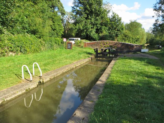
Heyfords Circular from Heyford Station
Walk · Starts in Upper and Lower Heyford · 2 hrs · Circular
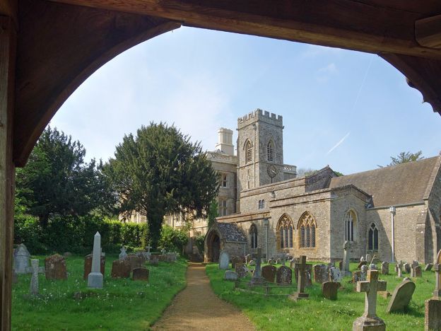
The Heyfords Circular is a 3.4-mile (5.5km) easy circular walk from Heyford station, about two hours. It follows the Oxford Canal north to Allen's Lock, climbs to Upper Heyford's church and returns over fields to Lower Heyford's square. Flat, with gates, livestock and mud.
-
North Aston, the Causeway and Somerton Mill
Walk · Starts in Steeple Aston · 3 hrs · Circular
A 5.2-mile (8.4km) moderate circular walk from North Aston Green, about three hours. It crosses the Cherwell meadows on an old causeway by Somerton Mill, follows the Oxford Canal north and climbs home past Bestmoor and North Aston church. It floods after rain.
-
Oxfordshire Way: Kirtlington to Weston-on-the-Green
Walk · Starts in Kirtlington · 1 hr, 20 mins
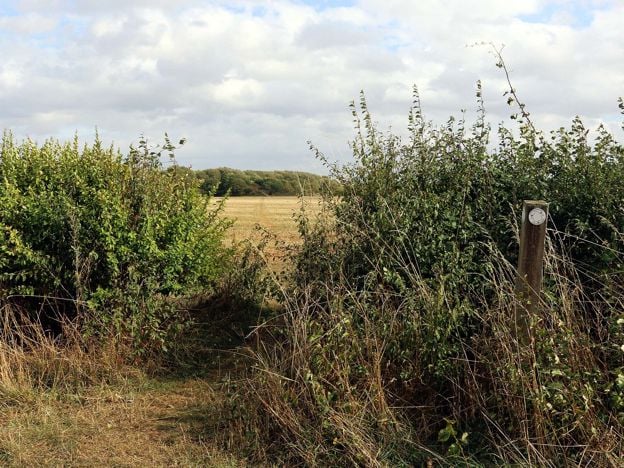
A 3.3-mile (5.3km) easy one-way walk on the Oxfordshire Way from Kirtlington to Weston-on-the-Green, about 80 minutes. It crosses Kirtlington Park and open fields, with gates and three stiles, and the 24 bus links both ends, Monday to Saturday.
Sights in and around Upper and Lower Heyford
-
RAF Upper Heyford Cold War sites, Heyford Park
Sight · Monument · Upper and Lower Heyford
The Cold War shelters, nuclear bomb store and command centre of RAF Upper Heyford, scheduled in 2006 and seen on guided tours from the airbase's heritage centre at Heyford Park, which opens free three days a week.
-
Rousham House and Garden
Sight · Historic building · Upper and Lower Heyford
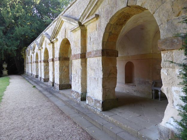
A house of about 1635 above the Cherwell near the Heyfords, and round it William Kent's landscape garden of 1737 to 1741, still much as he left it. The garden opens every day; no children under 15, no dogs, no tea room.
Stories about Upper and Lower Heyford
-
Bicester with children: days out for families
Story · Guides · 6 minute read
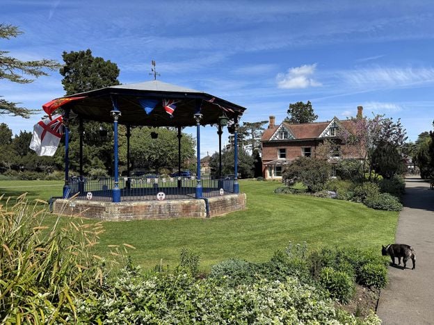
Bicester with children: the play area and skate park at Garth Park, newts at Bure Park, a climbing centre, a pool and a cinema in the town, Scramble days at Bicester Heritage, the Cold War airbase at Heyford Park and boats at Lower Heyford, with ages, prices and what to skip.
-
Heyford Park: what became of RAF Upper Heyford
Story · History · 8 minute read
The Americans left RAF Upper Heyford in 1994 with no plan for what came next. Fifteen years of argument produced a protected Cold War landscape, a business park in the hangars and Heyford Park, a village of more than a thousand new homes, with 9,000 more now proposed.
-
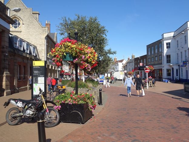
Things to do in Bicester
Story · Guides · 8 minute read
Things to do in Bicester: St Edburg's Church, the Market Square and the Friday market, the town trail and Garth Park, Bicester Village, the Scramble days at Bicester Heritage, then the Cold War tours at Heyford Park and Rousham's garden, with what to skip.
Getting to Upper and Lower Heyford
- By train
- Heyford station, in Lower Heyford, has Great Western Railway trains to Banbury and Oxford.
- By bus
- The 25 and 25A run from Bicester through Middleton Stoney to Heyford Park, up to twice an hour Monday to Saturday; on Sundays Stagecoach's 25A, about hourly (November 2026).
- By car
- About 12 miles from Banbury Cross, 25 minutes; about 7 miles, 15 minutes, from Bicester on the Bicester to Enstone road.
- Parking
- Heyford station car park (28 spaces, National Rail). No other public car park that we found.
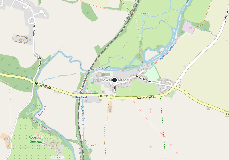
Places near Upper and Lower Heyford
-
 Steeple AstonA Cherwell valley village 9 miles south of Banbury, built on both sides of a steep little valley, with a church holding a grand 1730 monument by Henry Scheemakers, a school founded in 1640 and the Chequers, reopened in 2026. On the S4 bus and a mile from Heyford station.
-
 Middleton StoneyA crossroads village 3 miles west of Bicester, beside the Earls of Jersey's park. In the park stand a Norman church, open in daylight, and the tree-covered mound of a castle King John ordered destroyed in 1216. A short stop, best with a walk or a neighbour.
-
 KirtlingtonA long stone village above the Cherwell between Bicester and Woodstock, beside the Dashwoods' park, with a quarry that Natural England calls the richest Middle Jurassic mammal site known, a church with medieval wall paintings, the Oxfordshire Way and the Lamb Ale each spring.
-
 DeddingtonA large ironstone village south of Banbury that was once a borough, with a big market square, a monthly farmers' market, castle earthworks you can walk free of charge and a church whose tower fell in 1634. Parking is free.