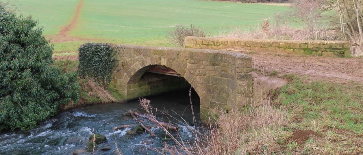
Philip Halling, CC BY-SA 2.0, via Wikimedia Commons
Broughton Road to Wroxton Obelisk Circular
A 4.5-mile (7.3km) circular walk from the car park on Broughton Road, about two hours of moderate walking on field paths. It crosses the Sor Brook, climbs to the Wroxton Obelisk and returns by the other bank. It does not go through Broughton or past the castle.
- Distance
- 7.3 km (4.5 mi)
- Difficulty
- Moderate
- Time
- 2 hrs
- Ascent
- 112 m
- Circular
- Circular
The route
Starts at The car park off Broughton Road (B4035), near Giant's Cave Muddy in winter Download GPX
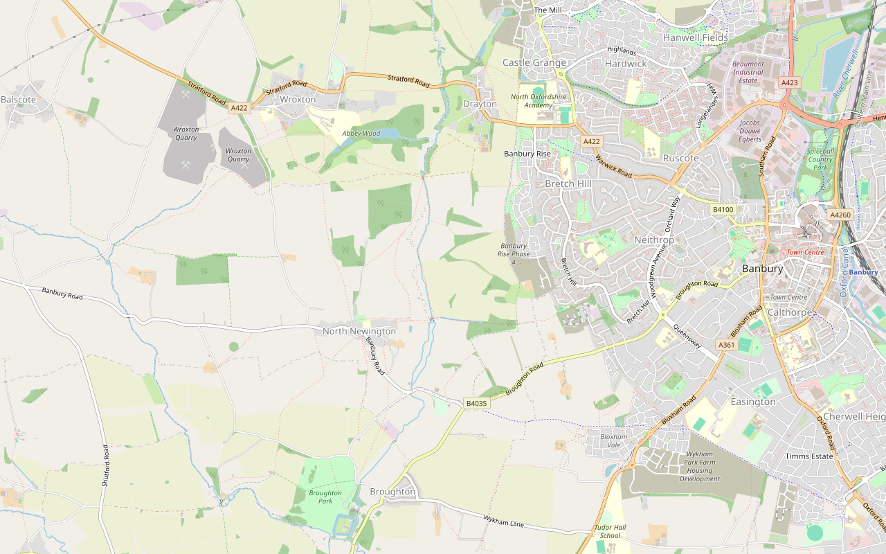
Step by step
-
Step 1: Car park to the Sor Brook
From the car park go through the gate and turn south-west along the track, which runs beside Broughton Road without joining it. Do not walk on the road, which is fast with no pavement. After about 170m turn right, north-west, onto the path that climbs past the old pasture of Giant's Cave.
The path joins a bridleway, about 470m from the start, which continues north-west along a field edge. Near the top of the rise keep on the path as it bends north, then turn left onto a public footpath heading west, about 950m from the start. Follow it downhill for about 300m to two short footbridges close together: the first is over the Sor Brook.
- Muddy in winter
-
Step 2: North past French's Covert and Keeper's Covert
Beyond the bridges keep west for about 150m to a junction of footpaths. Turn right here, north, about 1.4km from the start, and walk up the west side of the valley for about 700m, bearing north-west to the edge of French's Covert.
At the wood turn sharply right and head north-east, passing North Newington Grounds Farm a little way off and then Keeper's Covert. About 3.1km from the start you meet another path at a footbridge on your right. Do not cross it yet.
- Muddy in winter
-
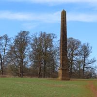
Step 3: Up to the Wroxton Obelisk and back
Turn left, west, on the public footpath and climb steadily for about 500m to the Wroxton Obelisk, standing in the field. It is about 2.2 miles from the start, at about 145m. Stay on the path and leave crops alone.
The line goes no further. Turn round and walk back down the same path, about 500m, to the junction.
-
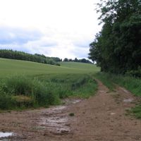
Step 4: South along the east bank
Carry straight on at the junction and cross the footbridge over the Sor Brook. Immediately after it, turn right and follow the dirt path south, with the brook to your west. This is the longest level stretch of the walk, about 1.2km at around 110m, and it ends at the public footpath you walked out on.
- Muddy in winter
-
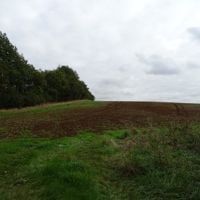
Step 5: Over the high ground and back to the car park
Turn left, east, on the footpath and climb. Pass the path you came down on earlier and keep straight ahead up the field to the walk's highest point, at about 151m, where the path meets a bridleway about 6km from the start.
Turn right for about 60m, then right again, west, along the field-edge bridleway. After about 500m it rejoins the outward path: turn left and walk back south-east, downhill, the way you came. At the bottom turn left along the track to the car park.
Sights on the way
The sights this walk passes, numbered as on the map.
-

Giant's Cave, Banbury
Sight · Common or park · Banbury
A patch of old rough pasture off the Broughton Road on the edge of Banbury, called Giant's Cave and said by legend to hide a tunnel to Broughton Castle. One account calls it a late medieval quarry. It is free, and a stop on Cherwell's Banbury Fringe walk.
-
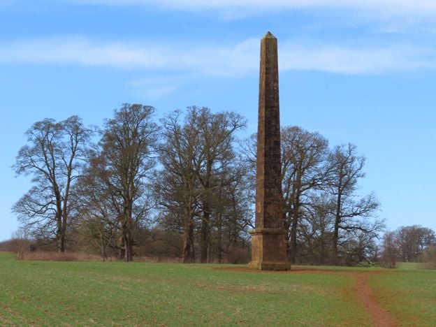
Wroxton Obelisk
Sight · Monument · Wroxton
A tall ironstone obelisk in the fields south-east of Wroxton Abbey, west of Banbury, marking a visit by Frederick, Prince of Wales, in 1739. Part of the eighteenth-century landscape, and Grade II*. On farmland, beside a public footpath.
-
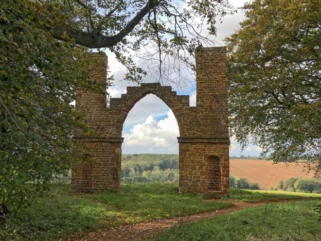
Drayton Arch
Sight · Historic building
A ruined Gothic arch between two thin turrets, built about 1750 as a sham ruin to Sanderson Miller's design for the Wroxton Abbey estate. Grade II*, in fields near Drayton, and reached by a public footpath from Wroxton.
The walk in detail
The Broughton Road to Wroxton Obelisk walk is a 4.5-mile (7.3km) circular route from the car park off the B4035 near Giant's Cave, on the south-west edge of Banbury. It is moderate, with about 112m of climbing, and takes about two hours. There is no pub or café on the route, so carry what you need.
Despite what this page used to say, the walk does not go into Broughton or past its castle. The line stays north of the B4035 the whole way, and Broughton Castle is about a mile south-west of the start. It also passes about 400m east of North Newington without entering it. What you get instead is the upper Sor Brook valley, two old coverts and a hilltop monument. It is a circuit with some retracing: the first and last 700m share a path, about 300m near the first bridge is walked twice, and the obelisk is a there-and-back of about a kilometre.
Giant's Cave and the Bretch
Giant's Cave is the first thing on the walk, and you should not expect a cavern. The path climbs past an area of old pasture that Cherwell District Council's walk guide calls the Bretch, a stony spot full of hills and hollows. Local legend makes the cave the secret entrance to a tunnel to Broughton Castle, and no one has shown that there was one. The Bretch sits below Crouch Hill, which features in our story of the Civil War in Banburyshire.
Keep to the line on this first stretch. OpenStreetMap does not record a right of way on the first 470m, and Cherwell's walk guide from the same start calls the path up the field edge here a permissive path, so it may not be a public path in law.
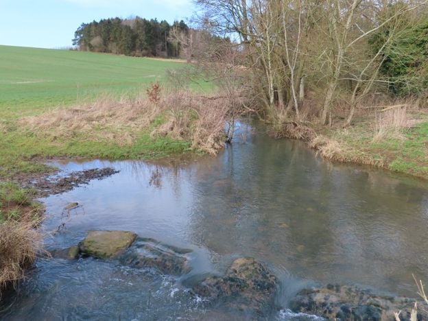
The Sor Brook and the coverts
The middle of the walk is a long circuit of the brook, out on the west side and back on the east. You cross the Sor Brook twice, at footbridges about 1.2km and 4km from the start, and the walking between them is on field paths with no village or road. French's Covert and Keeper's Covert are the two woods you pass on the way north, and Withycombe Covert lies a little way off on the return. The GPX file you download is titled Broughton Road and Keeper's Convert Circular, a slip for Keeper's Covert, so do not be thrown by the name.
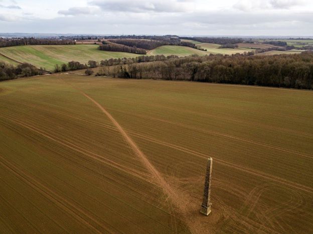
The Wroxton Obelisk
The Wroxton Obelisk is the turning point and the reason for the climb. It is a tall, slender ironstone obelisk in open farmland, listed Grade II*, and Historic England says its inscription commemorates the visit of Frederick, Prince of Wales, for the Banbury races in 1739. Historic England dates it to about 1750 and says it was probably designed by Sanderson Miller. It belongs to the eighteenth-century landscape of Wroxton Abbey, and the old approach to the Abbey from Banbury came this way.
The line turns back here and does not enter Wroxton. Our page on Wroxton Abbey sets out what is and is not confirmed about its grounds: the house is closed, a public footpath crosses them, and the village website says they remain accessible for walks and that dogs are not permitted. Read that page before planning to go further on this path.
Drayton Arch, the folly arch from the same landscape, stands about 400m east of the line. OpenStreetMap maps a track running east from the footbridge below the obelisk that passes about 110m from it. It is not part of this route, so check the line on an OS map if you want to add it.
Where to eat
There is nowhere to eat on the walk, so plan on a short drive afterwards. The nearest pub we list is The Roebuck Inn at Drayton, which welcomes dogs and has a car park, but it is closed on Mondays and Tuesdays and opens only at 4pm on Wednesdays and Thursdays. In North Newington, a short way west of the line, the Blinking Owl has no website or published hours, so ring 01295 730650 first. The Saye and Sele Arms in Broughton has been shut since January 2023. On its open afternoons, Wednesdays, Sundays and bank holiday Mondays from April to September, Broughton Castle has a tea room, and for a room there is Wroxton House Hotel.
The Banburyshire newsletter
Events, new places and the best of the season, about once a month. Unsubscribe at any time.
What walkers report
We have no dated walkers' reports for this route to pass on yet, and our own walk-through with the GPX is still to come, so we cannot yet tell you the stiles, gates or livestock on it. OpenStreetMap records only one gate on the line, at the car park, which says more about the map than the paths. Expect field gates and possibly stiles, and animals in some fields.
Two things are on record. In August 2026 Oxfordshire County Council made an order to divert parts of North Newington Footpaths 1 and 4, which meet this route at the junction 1.4km from the start: the line does not use the stretches being moved, but signs there may change. OpenStreetMap also marks housing under construction at Banbury Rise, about 300m east of the high point near Withycombe Farm. We found no closure on the line in November 2026, though the county's notices are not fully searchable.
Wear boots. Cherwell warns that paths in the same country can be muddy and wet even in summer, and the footpaths by the brook are the likeliest places.
Parking and getting there
Drive, if you can. OpenStreetMap maps a free car park at the start, on the north side of the B4035, and Cherwell notes a small parking area near Giant's Cave at OX15 5DY. The road is the Broughton Road out of Banbury. Cherwell calls the buses along it irregular and advises against walking along it, because it is fast and winding. On foot, the Salt Way comes across from Bodicote and the Bloxham Road, and you cross the B4035 with care to reach the start.
Other walks nearby
The Banbury Ironstone Heritage Walk covers much of the same country from the town. For a shorter walk south of Banbury, try Adderbury and Bloxham Grove, and for a ridge with a battlefield below it, the Edgehill Circular. To go inside a house after the walk, check Broughton Castle's opening days.
Places on the way
-
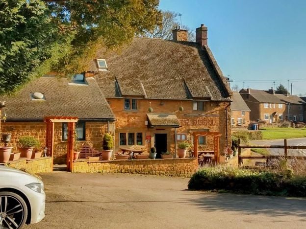
The Roebuck Inn, Drayton
Pubs
A Hook Norton pub in a late 17th-century listed building on the A422 at Drayton, just outside Banbury, with a south-facing courtyard, a modern British menu, a car park and dogs welcome.
Dog-friendly
Verified Nov 2026
-
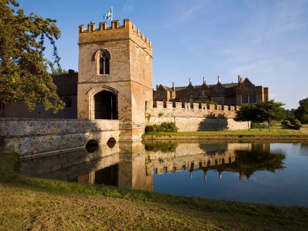
Broughton Castle
Historic houses and heritage · Broughton
A moated medieval manor house near Banbury, turned into an Elizabethan mansion by the Fiennes family, tied to the opposition to Charles I and seen in Shakespeare in Love and Wolf Hall. Open on Wednesday and Sunday afternoons, April to September.
Dog-friendly · Walker-friendly
Verified Nov 2026
-
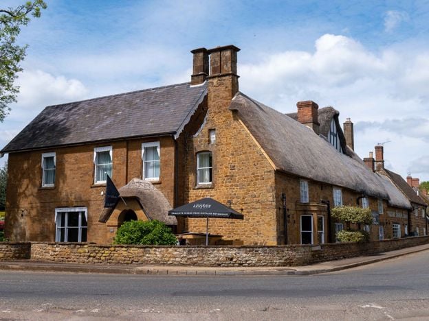
The Wroxton Hotel
Hotel · Wroxton
A 32-room hotel made from three adjoining stone cottages, partly dating from 1649, on the edge of thatched Wroxton, a few minutes' drive from junction 11 of the M40, with free parking and its own tea room.
Dog-friendly · Wedding venues
Verified Nov 2026
Stay near the start
Inns, cottages and hotels within a short drive of where the walk begins, so you can set off early.
Where to stay in Broughton-
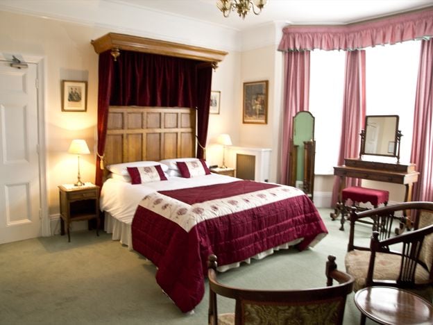
Banbury Cross Bed and Breakfast
B&B · Banbury
A family-run Victorian B&B on Broughton Road, Banbury, with seven bedrooms, about 370m from Banbury Cross, with free off-road parking, cooked breakfasts and rates from £77. No under-18s.
Car-free
Verified Nov 2026
-
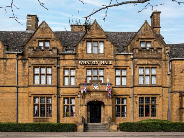
Whately Hall Hotel, Banbury
Hotel · Banbury
A Grade II listed 17th-century inn, now a 71-room hotel on Horse Fair in the middle of Banbury, with gardens, an oak-panelled restaurant and six EV chargers.
Dog-friendly · Family-friendly · Wedding venues
Verified Nov 2026
-
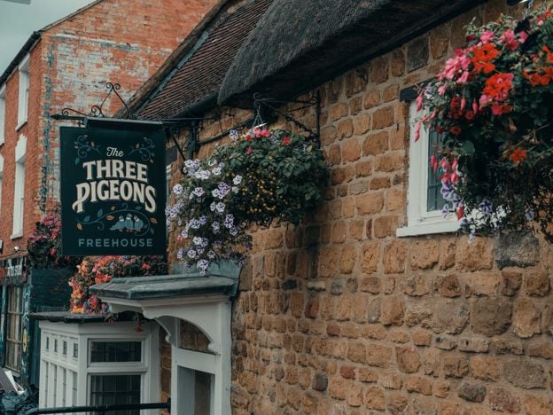
The Three Pigeons, Banbury
Pubs · Banbury
A Grade II listed 17th-century inn, partly thatched, on Southam Road, Banbury, with real ales and ciders, a courtyard, Smash Cow street food from Thursday to Saturday and three en-suite rooms.
Dog-friendly · Car-free
Verified Nov 2026
More like this
More walks to try
-
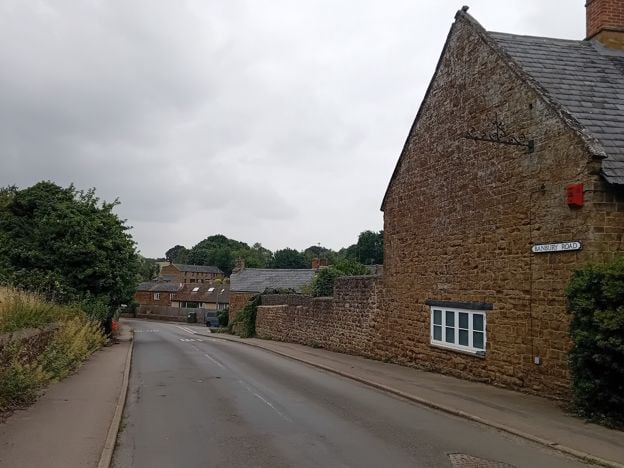
Banbury Ironstone Heritage Walk
Walk · Starts in Banbury · 4 hrs · Circular
The Banbury Ironstone Heritage Walk is a 9.6-mile (15.5km) moderate circular walk from Banbury station, about four hours with 180m of climbing. It follows the canal, skirts the northern estates, reaches Wroxton and North Newington, and ends at Banbury Cross.
-
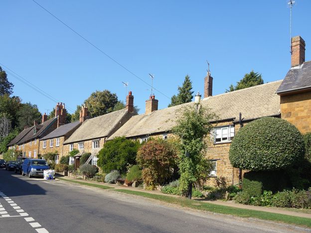
Adderbury and Bloxham Grove
Walk · Starts in Adderbury · 1 hr, 30 mins · Circular
A 3.1-mile (5.1km) circular walk from the Methodist church in East Adderbury, about an hour and a half of easy walking with stiles. Field paths lead to Bloxham Grove and its small windmill, down to Lower Grove Mill on the Sor Brook, and back to The Green.
-
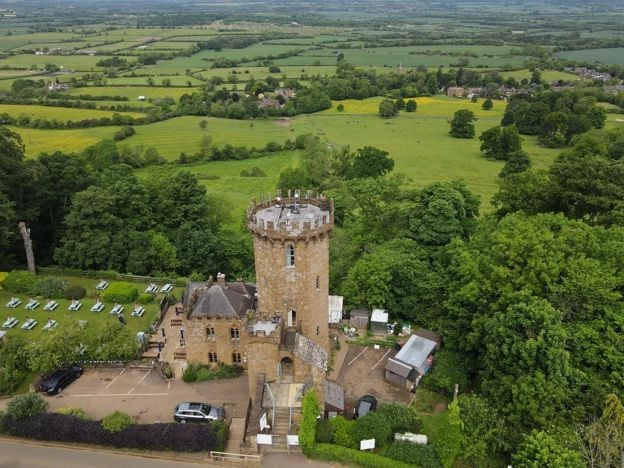
Edgehill Circular
Walk · Starts in Edgehill and Radway · 2 hrs, 30 mins · Circular
The Edgehill Circular is a 5.4-mile (8.6km) moderate circular walk from the Upton House car park, about two and a half hours with 220m of climbing. It follows the Edge Hill ridge to the Castle pub, returns through Ratley, and has six stiles and 500m on the A422.