Stephen McKay, CC BY-SA 2.0, via Wikimedia Commons
Badby
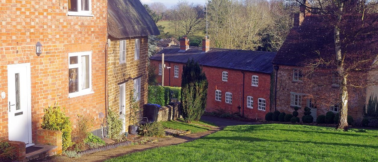
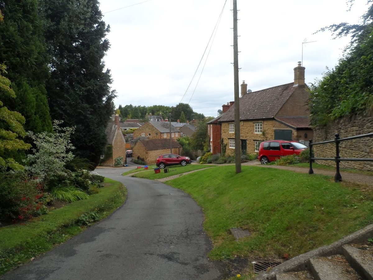
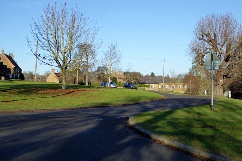
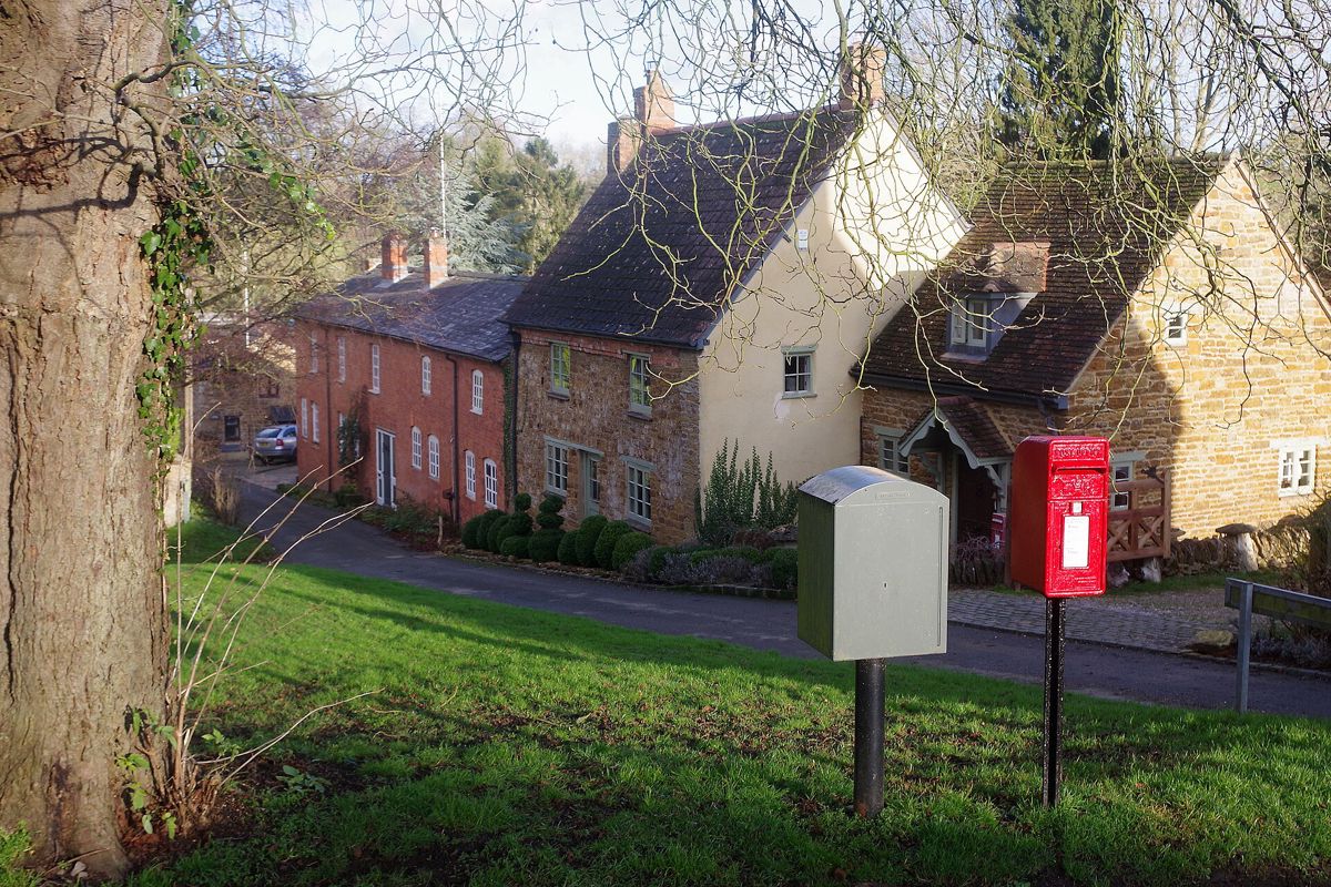
An ironstone and thatch village about 3 miles south of Daventry, and the way in to Badby Woods. Greens, a church up a steep hill, the start of the Nene Way and the Knightley Way, and little parking. Come to walk, and on busy days leave the car north of the village.
- Nearest station
- None. The parish lists Long Buckby, Rugby, Northampton and Banbury; the 200 bus runs from Banbury
- Parking
- The county's leaflet asks visitors to use the A361 picnic area, about 450m north. Everdon Road by the woods takes about 12 cars. Never on the greens
- Best time
- Late April to early May, for the bluebells
- When it's busy
- The first weekend of May and the bank holiday Monday, when the village hall serves Bluebell Teas. Parking is limited at any weekend, so come early or use the A361 picnic area.
- Toilets
- None that we could confirm
About Badby
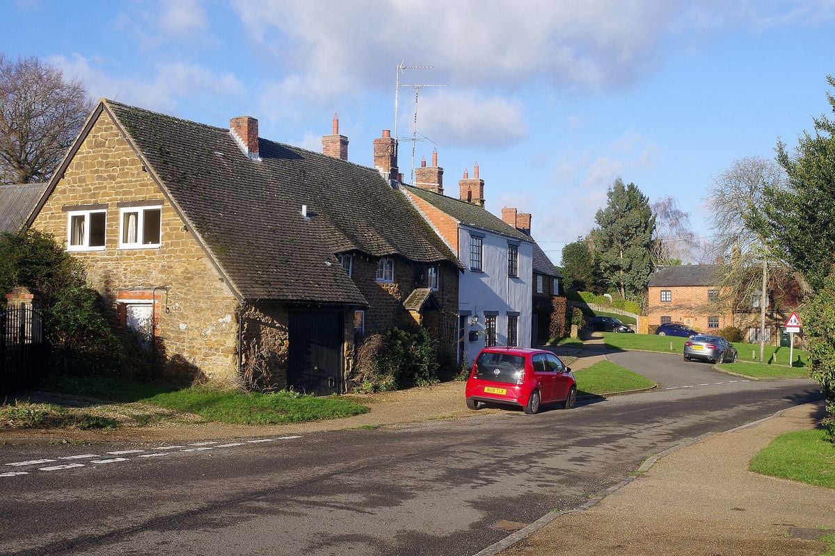
Badby is a village of ironstone, thatch and greens about 3 miles south of Daventry and about 13 miles from Banbury Cross in a straight line. Most people come for Badby Woods and their bluebells, which begin at the edge of the village. It is also where two long paths begin, so it is a place to arrive at with boots on and to leave the car with care.
What to see in Badby
The village is the sight: a walk round its greens and lanes takes under an hour. The county council's leaflet asks you not to park on the greens and describes a steep climb from them up to the church. The parish's own tour of Badby (opens in a new tab) marks where the bake house, the Co-op, the chip shed and the old school stood, as one resident remembers them.
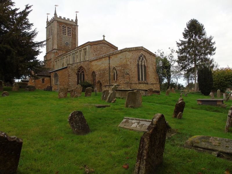
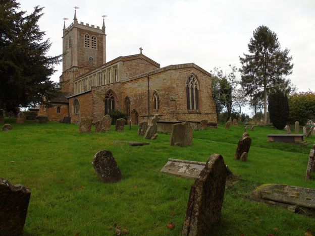
St Mary the Virgin is fourteenth and fifteenth century and was heavily restored from 1880, but the tower has its own story: it fell in 1705 and was rebuilt in 1707 to 1709. The parish's guide to the church (opens in a new tab) sends you to the fifteenth-century clerestory windows, the seventeenth-century pulpit and altar rails, and glass in the north aisle carrying the initials of Thomas Newbold, Abbot of Evesham from 1491 to 1514. The clock dates from about 1780. We could not find published opening hours, so look for the notice at the door.
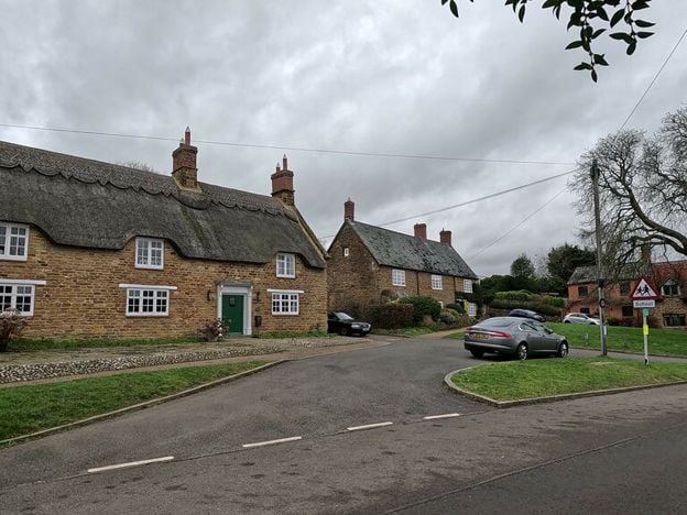
On Church Green stands the thatched building that was Badby Youth Hostel, three seventeenth-century cottages once lived in by workers on the Fawsley estate. It closed as a hostel in 2005. Other guides still mention things that have gone: the post office closed in 2008 and the Windmill Inn in 2019.
Badby Woods
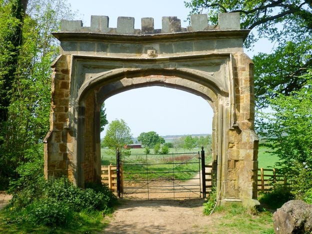
The arch into the woods is off Chapel Lane, on the road towards Everdon, about 370m from the village by the parish's reckoning. The wood belongs to the Fawsley estate, and it has been woodland for more than 700 years. Our guide to Badby Woods covers when the bluebells flower, where the paths run, parking and dogs. Fawsley itself, with its park, lakes and isolated church, lies beyond the wood on the Knightley Way.
A morning in Badby
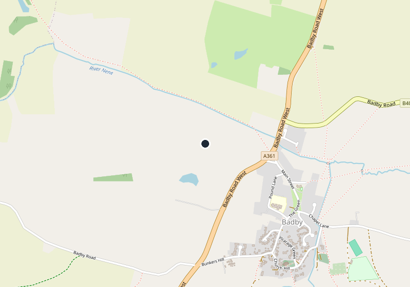
Leave the car at the A361 picnic area and walk south on the footpath, which crosses the River Nene and joins the Nene Way. You pass the site of Badby Grange and come out on Chapel Lane. Climb to St Mary's, then come back down through the village and take the road towards Everdon for the arch. Allow an hour for the village and at least another for the wood. The county council gives its northern circular as 1.9 miles and about an hour, with a steep hill from the picnic area to the church. Coming from Banbury, Byfield makes a good stop for its church on the way, and our guide to the buses has the 200 if you are not driving.
Walks from Badby
Two long paths begin here. The Knightley Way starts by the church and runs to Greens Norton near Towcester, about 12 miles on the county's figure. The parish's page says 22.5, which looks like a slip, so measure your own day on the map. The Nene Way starts near the village hall on Chapel Lane and runs over 100 miles to The Wash, the parish says. Both are waymarked.
For shorter walks, the county council's Badby leaflet (opens in a new tab) of 2003 has two circulars: the northern one from the picnic area, and a southern one of 2.3 miles (3.7km) from near Fawsley Hall to the village and back, about an hour and a quarter, which can be joined to it. We have not walked them, and the leaflet's list of pubs and shops is out of date. The parish's walks page (opens in a new tab) points to longer ones, including Arbury Hill, which it calls the joint highest point in Northamptonshire, and the River Nene has one of its sources near that hill, a mile west of the village.
Food and drink in Badby
The village has a pub and a café on The Green. We have not been able to confirm either from dated evidence on a site of its own, so we are not picking them yet, and the parish's business list (opens in a new tab) is the place to check. On bluebell weekend the village hall serves homemade cream teas, and you can come for tea without walking the wood. Otherwise, bring a flask and something to eat.

The Banburyshire newsletter
Events, new places and the best of the season, about once a month. Unsubscribe at any time.
When to come to Badby
Bluebell time is the village's big moment. The Bluebell Teas (opens in a new tab) fall on the first Sunday in May and the bank holiday Monday, which would make them 2 and 3 May in 2027, though the parish had not announced the 2027 dates when we checked. Its page, updated in May 2026, admits that nature does not always oblige. In 2026 Badby Fayre closed The Green to traffic on Sunday 13 September, with a horticultural show in a tent. The rest of the year is quieter. Choose a dry day for the field paths.
Last verified 11 November 2026 by our editors
Things to do in Badby
Historic houses and heritage
Canons Ashby
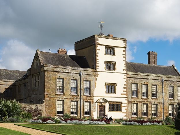
The Dryden family's Elizabethan manor house in south Northamptonshire, with painted rooms, Jacobean plasterwork and terraced gardens, beside the surviving church of a medieval priory. National Trust, north east of Banbury.
Walks in and around Badby
-
Badby Woods and Fawsley
Walk · Starts in Badby · 1 hr, 30 mins · Circular
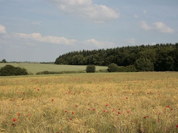
A 2.9-mile (4.7km) circular walk from Fawsley across the old deer park to the edge of Badby Woods and up to Badby church, moderate and about an hour and a half, with about 120m of climbing. It follows the county council's Southern Circular and the Knightley Way.
Sights in and around Badby
-
Badby Woods
Sight · Wood · Badby
An ancient bluebell wood at Badby, Northamptonshire, on the Fawsley estate: woodland for over 700 years, a deer park from 1246 and now an SSSI. Free and private, on permissive paths. Bluebells usually peak from late April into early May, and parking is for about 12 cars.
-
St Mary's Church, Badby
Sight · Church · Badby
Badby's Grade II* ironstone church on the hill above the greens, with a tower rebuilt after the old one fell in 1705, glass with the arms of Evesham Abbey, and the start of the Knightley Way opposite. Open every day, 10am to 4pm.
-
St Mary's Church, Fawsley
Sight · Church · Fawsley
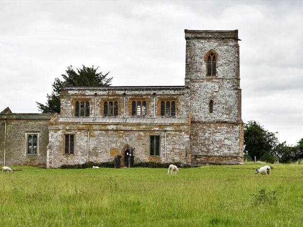
A Grade I church standing alone in Fawsley's park, its village long gone, filled with Knightley tombs, brasses and box pews, with Washington arms in a window. Open daily, says the church, across a field and a ha-ha.
Stories about Badby
-
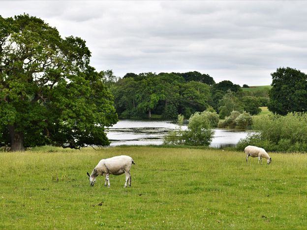
Fawsley and the Knightleys: a lost village, a secret press and 500 years
Story · History · 7 minute read
The Knightleys bought Fawsley, near Daventry, in 1416 and cleared its village for sheep. They built a Tudor hall, hid a puritan press in 1588 and held the estate for about 500 years. The village is gone, and the church stands alone in the park with their tombs.
Getting to Badby
- By bus
- Stagecoach's 200 between Banbury and Daventry, via Woodford Halse, calls here roughly hourly Monday to Saturday. We found no Sunday journeys, so a bluebell Sunday means a car or a taxi.
- By car
- About 15 miles from Banbury by the A361 through Byfield, about 30 minutes on a clear run. Daventry is about 3 miles north.
- By train
- No station. The parish lists Long Buckby, Rugby, Northampton and Banbury as the nearest. From Banbury, take the 200 bus.
- Parking
- A361 picnic area, about 450m north, with a footpath in. Everdon Road takes about 12 cars by the woods. The parish says there is none by the church.
- Access
- The church is a steep climb from the green, and there is a steep hill between the picnic area and the church. The parish says there is no realistic disabled access to Badby Woods.
Places near Badby
-
 ByfieldA village of about 1,300 on the A361 between Banbury and Daventry, with a Grade I church, a 65-acre reservoir half a mile off and the hall where Sandy Denny played her last gig. A good stop on the way to Badby Woods, and the way to the Edgcote battlefield.
-
 SulgraveA quiet Northamptonshire village, home to Sulgrave Manor, the house built by George Washington's ancestors. The manor, the Washington pew in the church and a Norman ringwork make a good half day between March and September.
-
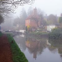 CropredyA canal village on the Cherwell, about 4 miles north of Banbury, known for Fairport's Cropredy Convention each August and the 1644 battle at its bridge. Outside festival weekend it is quiet, with a fine church and the Brasenose Arms.
-
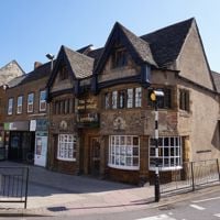 BanburyNorth Oxfordshire's working market town, on the River Cherwell and the Oxford Canal, about an hour from Marylebone. Come for the Cross, the Thursday and Saturday market, the old inns of Parsons Street, the free museum and Tooley's Boatyard.