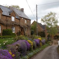
David Howard, CC BY-SA 2.0, via Wikimedia Commons
Shotteswell
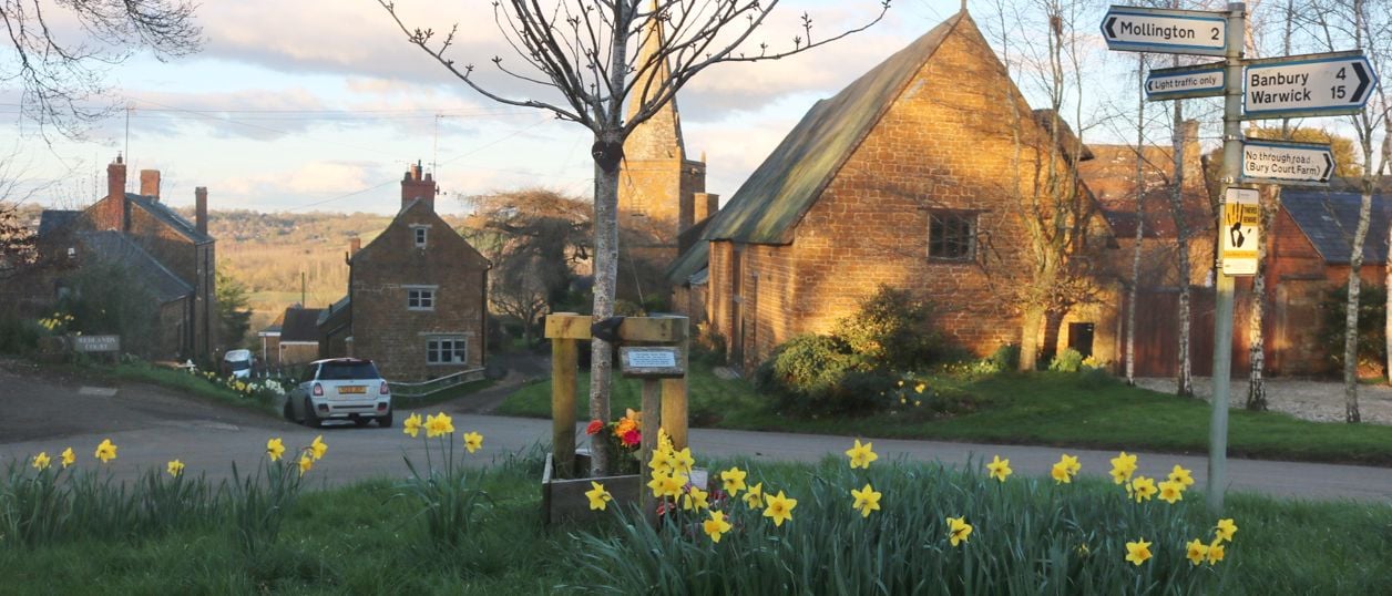
A small hillside village of dark brown stone and thatch, almost surrounded by Oxfordshire, about 4 miles from Banbury. There is little to do but the church, which has a Norman arcade, a medieval spire, an oak chest of the thirteenth century and Flemish carvings.
- Nearest station
- Banbury, about 3.5 miles south-east, then a taxi
- Parking
- No public car park, and the lanes are steep and narrow. Park with care and keep gateways clear
- Best time
- Any dry day, combined with a walk or a visit to Warmington
- Toilets
- None that we could confirm
- Dogs
- Field paths cross farmland, so keep dogs on leads near stock.
About Shotteswell
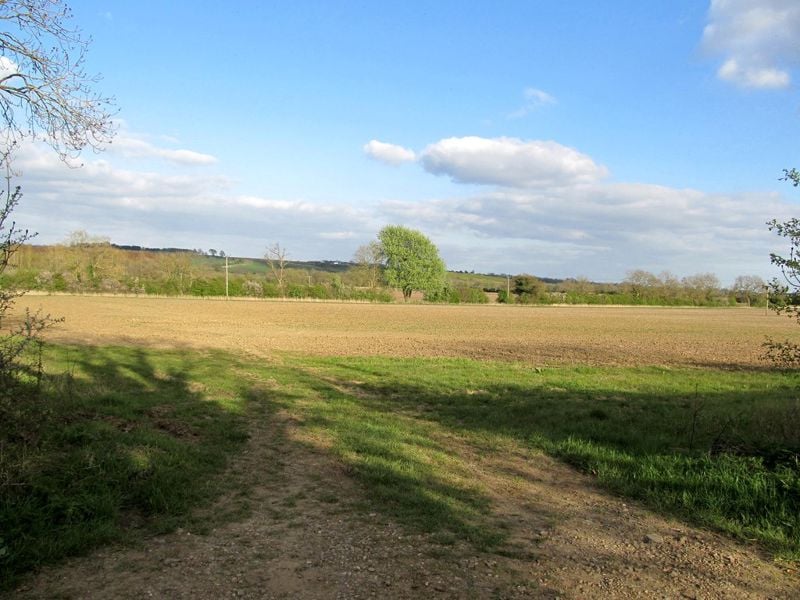
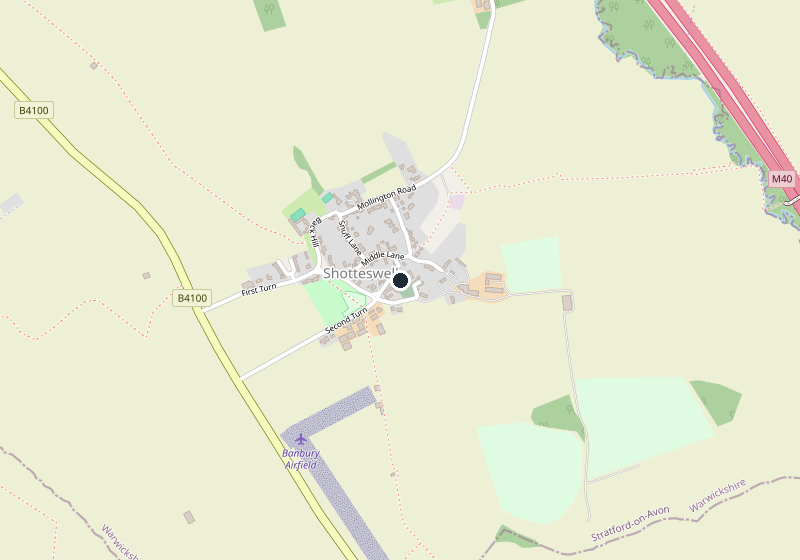
Shotteswell is a small village on a hillside about 4 miles north-west of Banbury, in a corner of Warwickshire almost surrounded by Oxfordshire. Its cottages and farms, mostly thatched and built of a dark brown local stone, cluster round the church on steep, narrow lanes, and the main Banbury to Warwick road runs through the parish. There is not much to do here, and that is the honest summary: come for the church, then walk on.
St Lawrence's Church
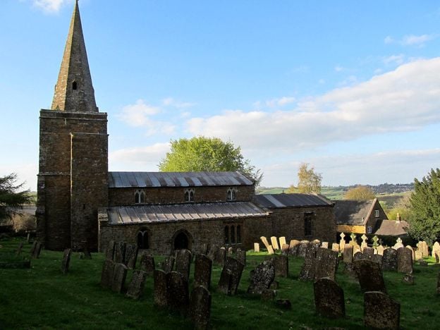
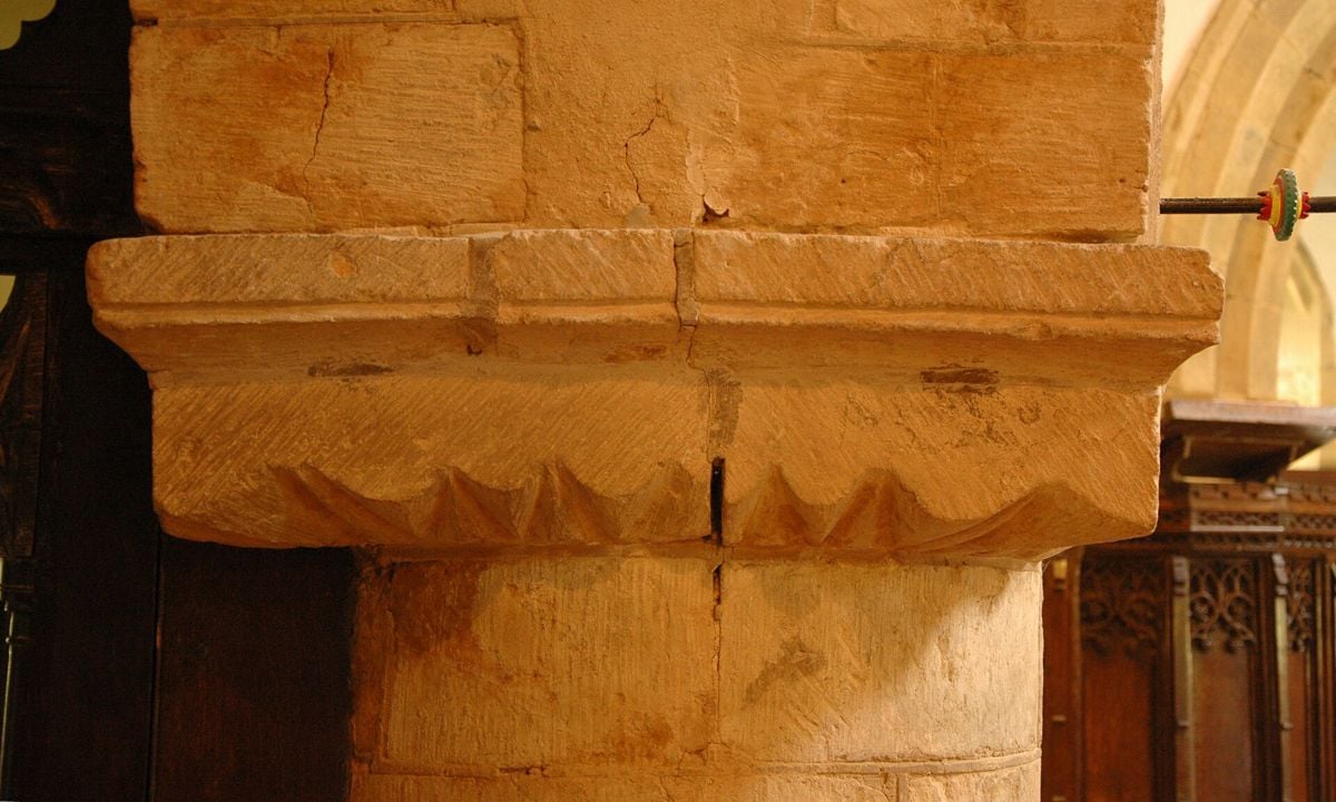
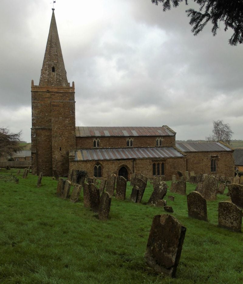
St Lawrence's is listed Grade II*. The north arcade, three bays on round pillars with square capitals, is mid-twelfth century, and the octagonal stone spire dates from about 1400. The county history traces every century between: the chancel arch of the early thirteenth, the tower of the late thirteenth, the rebuilt aisles of the early fourteenth.
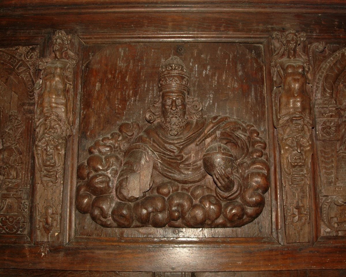
The fittings repay a slow look. Stone benches run along the aisle walls, and some of the nave benches are early sixteenth-century panelled woodwork. The pulpit uses fifteenth-century tracery panels, the north aisle has a fourteenth-century screen, and there is an oak chest of the late thirteenth century. The reredos is made of seventeenth-century Flemish carvings, with six biblical panels. The tenor bell was cast by Hugh Watts in 1625. We could not find published opening hours.
The village
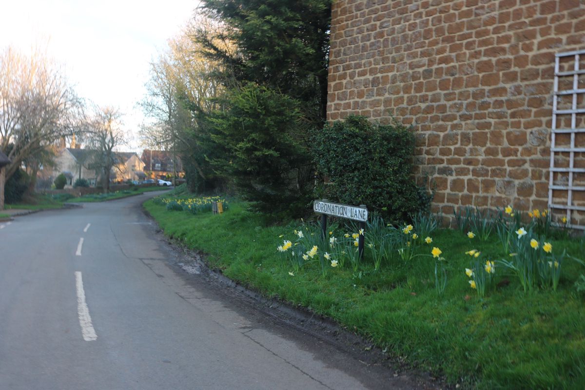
At least 37 of Historic England's list entries fall within the village. Many of them are churchyard headstones and chest tombs, listed in their own right, and the rest are cottages, farmhouses, the Manor with its seventeenth-century mullioned windows, and even the K6 telephone kiosk on Back Hill. Walk up and down the lanes round the church to see them, and leave the car outside the narrowest parts.
An hour in Shotteswell
Give the church twenty minutes, walk the lanes for another twenty, then walk part of the D'Arcy Dalton Way or drive the short way on to Warmington and its Grade I church. Farnborough and its hall are the next stop north.
Walks from Shotteswell
The D'Arcy Dalton Way, the long-distance path from Wormleighton that later passes close to the Rollright Stones, runs just outside the village in OpenStreetMap. We have not yet published a walk from Shotteswell with a route we can stand behind.
Food and drink near Shotteswell
We found nowhere to eat or drink in Shotteswell trading in 2026. Banbury is ten minutes away by car, and the nearest checked pub in the country is the Castle at Edgehill on the ridge to the west.

The Banburyshire newsletter
Events, new places and the best of the season, about once a month. Unsubscribe at any time.
When to come to Shotteswell
Any dry day. There is no event to plan round, and the village is quiet at all times, so respect the people who live on its narrow lanes.
Last verified 11 November 2026 by our editors
Things to do in Shotteswell
Parks and gardens
The National Herb Centre, Warmington
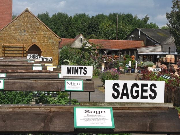
A plant centre at Warmington, near Banbury, growing culinary and medicinal herbs, fruit and native wildflowers, most of them on site in peat-free compost, with a café bistro, a play area and nature trails.
-
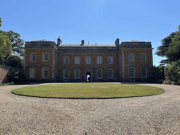
Farnborough Hall
Historic houses and heritage
A Palladian house north of Banbury, still lived in by the Holbech family and run with the National Trust, with a raised terrace walk to an obelisk. A few rooms and the grounds open from April to September. Closed until 7 April 2027.
Walker-friendly
Verified Nov 2026
-
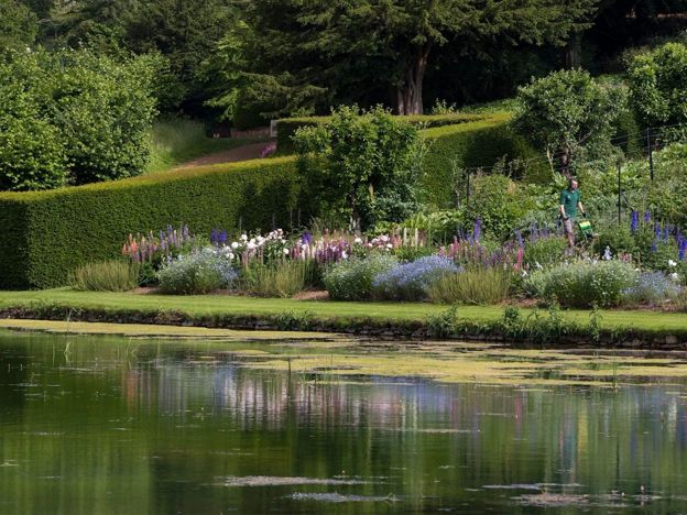
Upton House and Gardens
Historic houses and heritage
A National Trust house on the Edge Hill ridge, remodelled in the 1920s for the oil magnate Lord Bearsted to show his paintings by Bosch, El Greco, Stubbs and Hogarth, above terraced gardens that drop 30m to a Mirror Pool.
Family-friendly · Dog-friendly · Rainy days
Verified Nov 2026
-
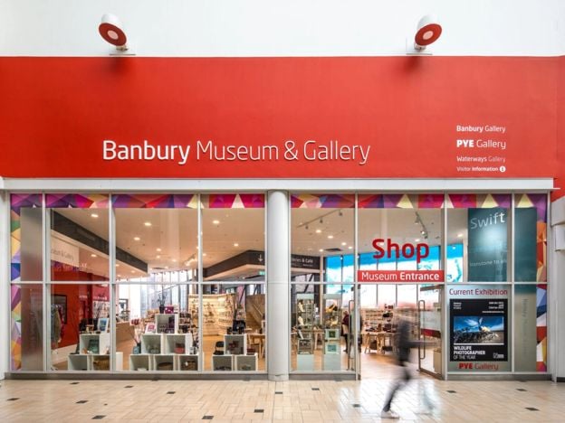
Banbury Museum and Gallery
Museums and galleries · Banbury
Banbury's free town museum, on the Oxford Canal with an entrance in Castle Quay: Bronze Age finds, a cannon from Banbury Castle, plush cloth and a canal gallery, with paid touring exhibitions and a canalside café.
Family-friendly · Rainy days · Car-free
Verified Nov 2026
Where to eat and drink in Shotteswell
-
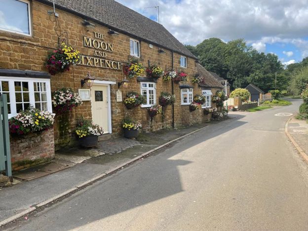
The Moon and Sixpence, Hanwell
Pubs · Hanwell
A refurbished dining pub on Main Street in Hanwell, about two miles north-west of Banbury, with an open kitchen run by chef Hylton Bradley, a set lunch and dinner menu, and a large car park.
Family-friendly · Walker-friendly
Verified Nov 2026
-
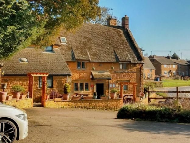
The Roebuck Inn, Drayton
Pubs
A Hook Norton pub in a late 17th-century listed building on the A422 at Drayton, just outside Banbury, with a south-facing courtyard, a modern British menu, a car park and dogs welcome.
Dog-friendly
Verified Nov 2026
-
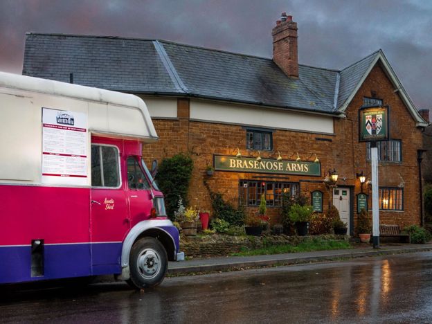
The Brasenose Arms, Cropredy
Pubs · Cropredy
A 17th-century inn on Station Road in Cropredy, with four refurbished bed and breakfast rooms, a bar and garden, and its own music fringe alongside Fairport's Cropredy Convention each August. The pub says it is the only one in the country with the name.
Verified Nov 2026
Walks in and around Shotteswell
-
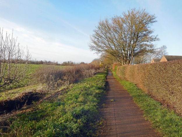
Banbury Fringe Circular Walk
Walk · Starts in Banbury · 5 hrs · Circular
A 10.6-mile (17.1km) waymarked circular walk round the edge of Banbury, moderate and about five hours: the Oxford Canal south to Bodicote, the Salt Way past Crouch Hill, field and wood paths by Giant's Cave, and an old ironstone railway back to the canal.
-
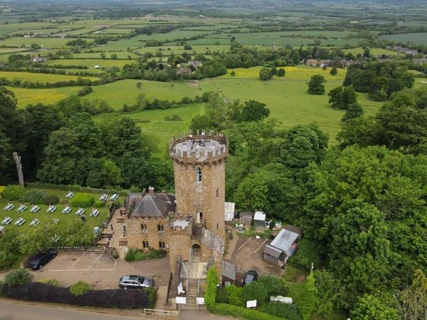
Edgehill Circular
Walk · Starts in Edgehill and Radway · 2 hrs, 30 mins · Circular
The Edgehill Circular is a 5.4-mile (8.6km) moderate circular walk from the Upton House car park, about two and a half hours with 220m of climbing. It follows the Edge Hill ridge to the Castle pub, returns through Ratley, and has six stiles and 500m on the A422.
-
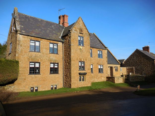
North Newington and Wroxton Circular
Walk · Starts in North Newington · 2 hrs · Circular
A 3.3-mile (5.3km) circular walk from Main Street, North Newington, taking about two hours of moderate walking. It follows field paths to the Sor Brook, climbs past the Wroxton Obelisk into Wroxton and returns over the fields.
Sights in and around Shotteswell
-
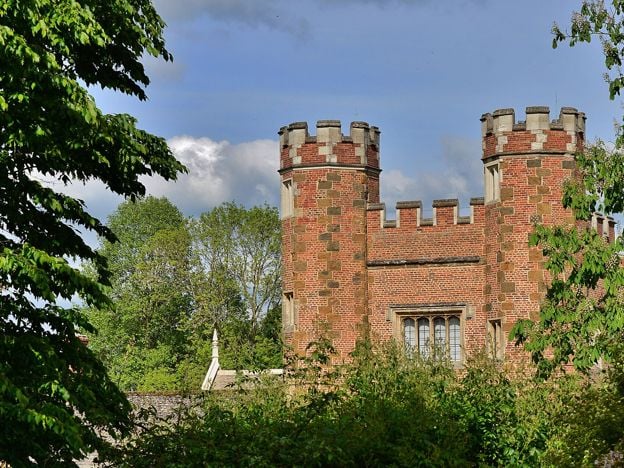
Hanwell Castle
Sight · Historic building · Hanwell
The surviving tower and range of a Tudor brick courtyard house built for the Cope family at Hanwell, north of Banbury. Grade II*, diapered in red and blue brick, and private: the grounds open on a few event days, such as the February snowdrop weekend.
-
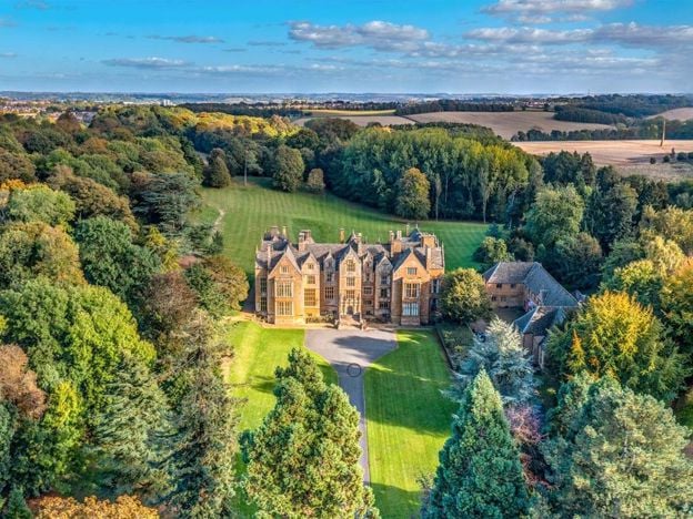
Wroxton Abbey
Sight · Historic building · Wroxton
A Jacobean house of about 1618 west of Banbury, on the site of a medieval priory and long the home of the Norths. Grade I. It is a college and closed to visitors. It passed to an alumni-led group in 2025 to 2026, and a public footpath crosses the grounds.
-
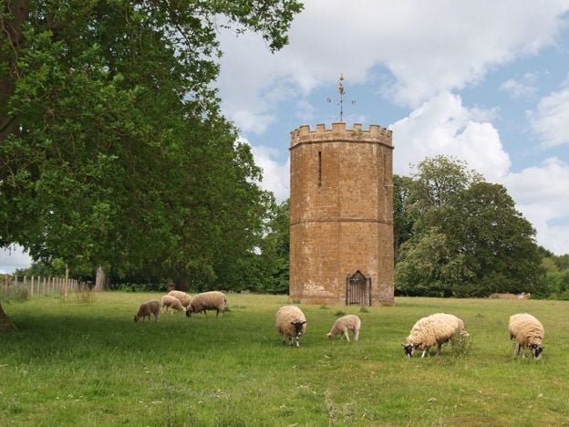
Wroxton Dovecote
Sight · Historic building · Wroxton
A Gothic dovecote of 1745 by Sanderson Miller in the park of Wroxton Abbey, west of Banbury, built both to house pigeons and to look like a small castle from the house. Ironstone, polygonal and Grade II*. In the Abbey's park, so seen from a distance.
Getting to Shotteswell
- By train
- Banbury is the nearest station, about 3.5 miles south-east, with Chiltern trains from London Marylebone. Take a taxi on.
- By bus
- Flexibus 496, Thursdays only: Shotteswell (Middle Lane) 10.30am to Banbury bus station 10.39am; back from Banbury 1.30pm, setting down at Shotteswell about 1.39pm (November 2026).
- By car
- About 4.5 miles and 10 minutes from Banbury Cross by road, off the Banbury to Warwick road.
- Parking
- No public car park. Park with care on the lanes.
- Access
- The lanes are steep and narrow, and the village clusters on a slope round the church. We have not checked the church's step-free access.
Places near Shotteswell
-
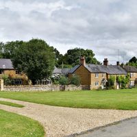 WarmingtonA village round a sloping green off the Banbury to Warwick road, with a Grade I church on the brow above, a priest's room with its own fireplace, and the grave of a Scots captain killed at Edgehill in 1642. The National Herb Centre is at the bottom of the hill.
-
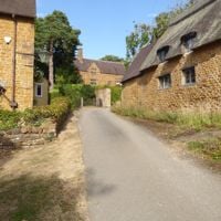 FarnboroughA small estate village of yellow stone and thatch beside Farnborough Hall, the Holbech family's Palladian house, whose terrace walk to an obelisk opens from April to September with the National Trust. A church with a Scott spire, and a 5.5-mile parkland walk.
-
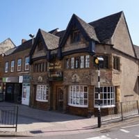 BanburyNorth Oxfordshire's working market town, on the River Cherwell and the Oxford Canal, about an hour from Marylebone. Come for the Cross, the Thursday and Saturday market, the old inns of Parsons Street, the free museum and Tooley's Boatyard.
-
 RatleyAn ironstone village tucked just below the crest of Edge Hill, with a fourteenth-century church, a tall medieval churchyard cross and a castle mound. The Castle at Edgehill and Upton House are both in its parish, and the Edgehill Circular walks through.