Ian Rob, CC BY-SA 2.0, via Wikimedia Commons
Brailes
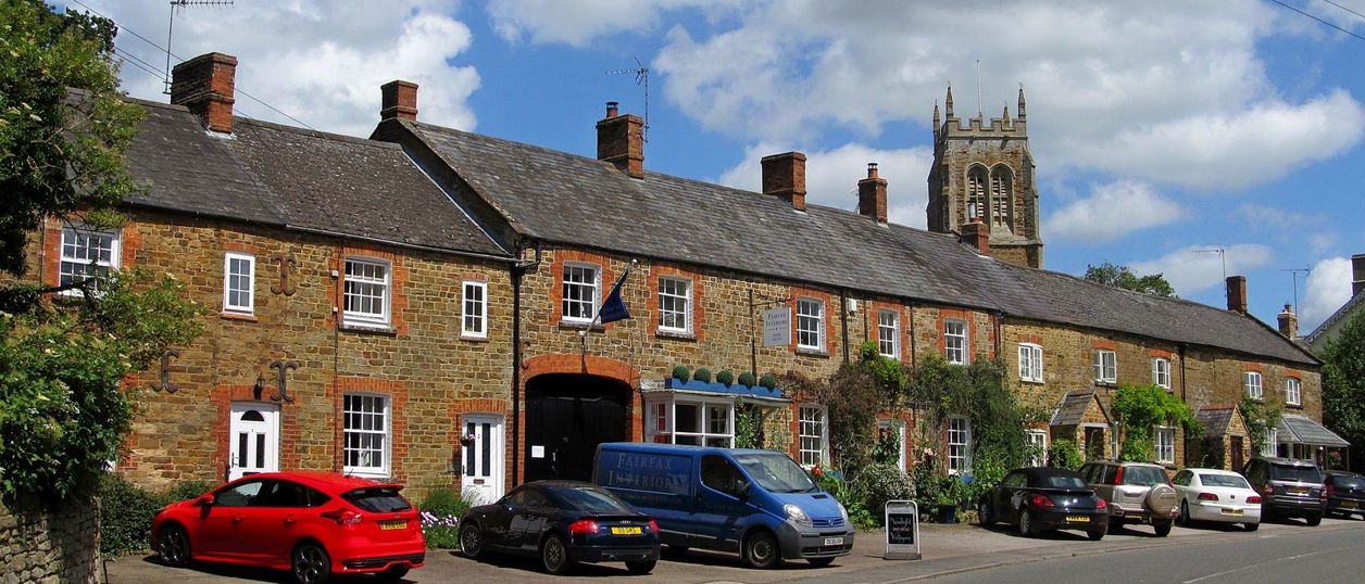
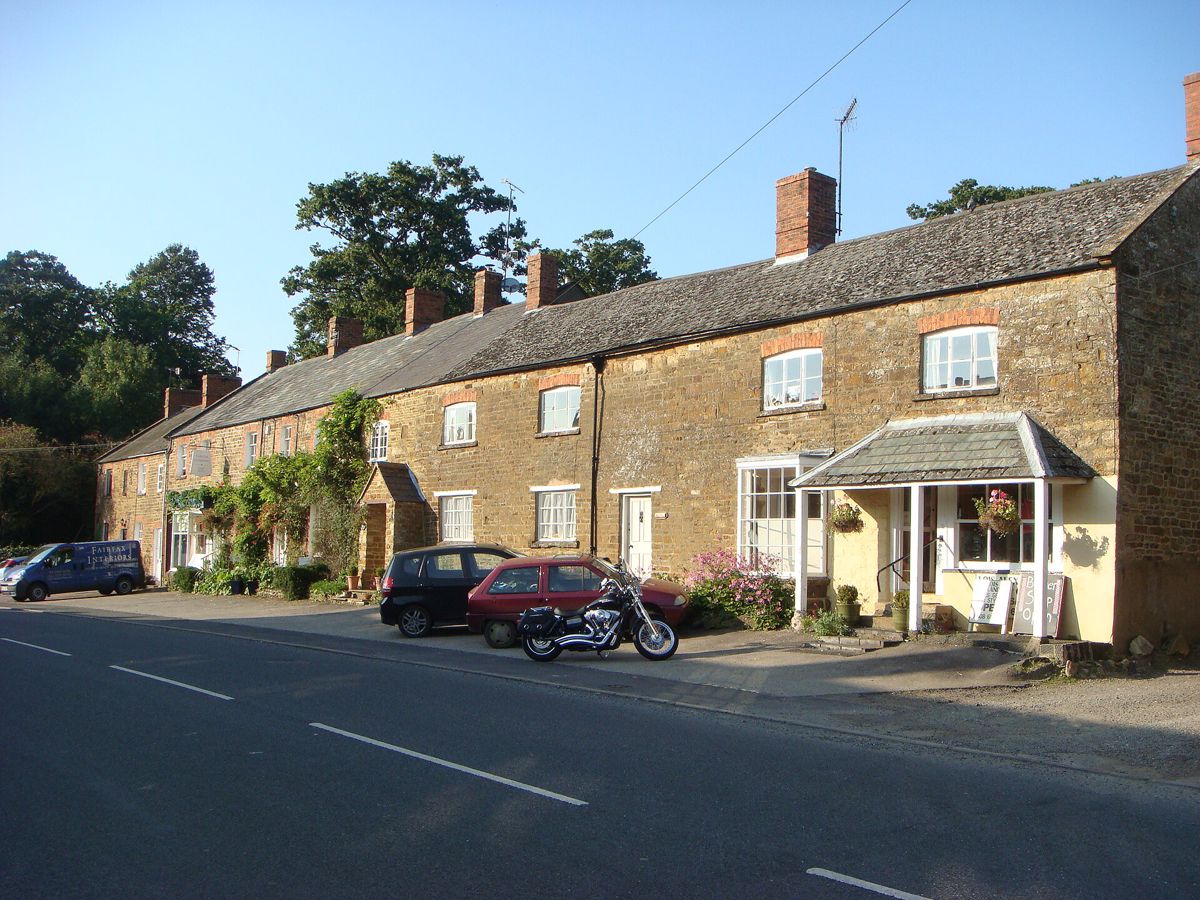
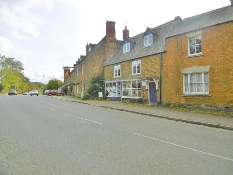
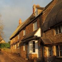
Two villages under Brailes Hill, once one of the Earl of Warwick's richest manors. Lower Brailes has St George's, the 'Cathedral of the Feldon', with a 37m tower, a Catholic chapel of 1726 beside it, and a Hooky inn on the high street.
- Nearest station
- Banbury, about 8.5 miles east, then Stagecoach's 75 bus towards Stratford
- Parking
- No public car park that we could find. The George has its own for customers, through the archway, CAMRA says; otherwise park with care on the village streets
- Best time
- A weekday, with time to arrange the tower in advance
- Toilets
- None public that we could confirm
- Dogs
- Field paths cross farmland, so keep dogs on leads near stock. Ask the George before bringing a dog in.
About Brailes
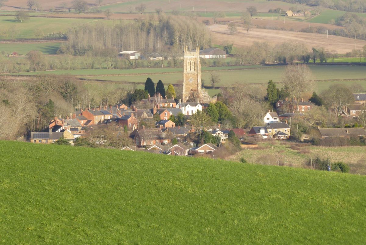
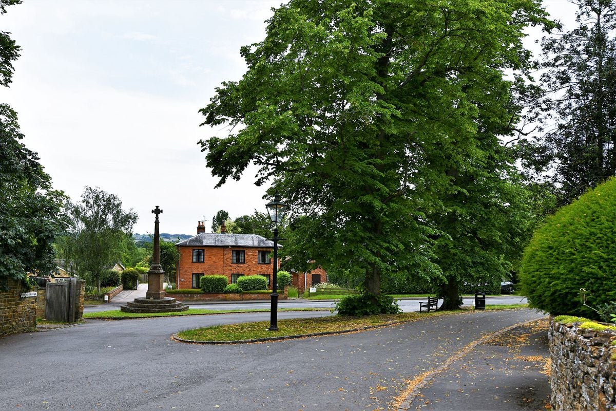
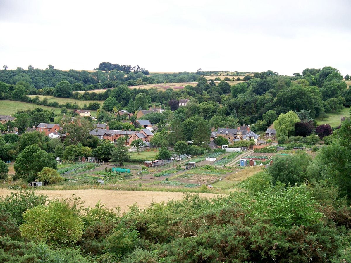
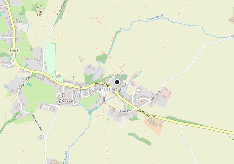
Brailes is two villages under a mile apart on the road from Banbury to Shipston, about 8.5 miles west of Banbury in a straight line. Lower Brailes has the great church, the inn and the older stone cottages, and Upper Brailes climbs the slope to the north-west. Brailes Hill, about 230m high, rises behind them with wide views.
St George's, the Cathedral of the Feldon
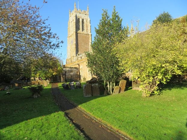
St George's is known locally as the Cathedral of the Feldon, and the county history calls it the largest church in the old hundred of Kington. It is listed Grade I. A church stood here by 1124, the south aisle was added around 1280, and most of what you see was built between 1325 and 1375. The tower, of the fifteenth century, is about 37m high.
The church's own history sends you to the fourteenth-century font, carved with window tracery designs, and a fifteenth-century carved oak chest. A worn stone effigy of a priest of about 1450 lies in the south aisle. The church suggests Robert Bandy, vicar from 1433 to 1455, though it is not certain, and local tradition makes him an unknown crusader. Look up for about a dozen carved faces on the corbels on each side of the nave, mostly from about 1350, and faint medieval paintings of Christ and the Apostles on the east roof beam. The county history ties a rebuild of 1649 to damage in the Civil War.
The tower's 142 steps, the bells and the clock are open by arrangement, and so is the vestry. The church publishes no general opening hours, so check before you travel.
The Catholic chapel and Castle Hill
Beside the churchyard, the Bishop family added a Roman Catholic chapel of St Peter and St Paul in 1726, on the upper floor of the house next door. Historic England lists the house and chapel together at Grade II*.
North-west of Lower Brailes, Castle Hill carries earthworks that Historic England has scheduled since 1960 as a motte. The county history called their origin obscure. Public footpaths pass close by in OpenStreetMap, so you can see the mound from the path.
A morning in Brailes
Spend an hour in St George's, then walk round the churchyard to see the Catholic chapel from outside. Follow the footpath north-west to Castle Hill, and come back through Lower Brailes for lunch at the inn. In the afternoon, Whichford and its pottery are a short drive south.
Walks from Brailes
Public footpaths run out from both villages, including the ones round Castle Hill, and Ditchedge Lane on the eastern boundary, with Oxfordshire, is an old ridgeway. No waymarked long-distance trail passes through in OpenStreetMap, and we have not yet published a walk from here with a route we can stand behind.

The Banburyshire newsletter
Events, new places and the best of the season, about once a month. Unsubscribe at any time.
Food and drink in Brailes
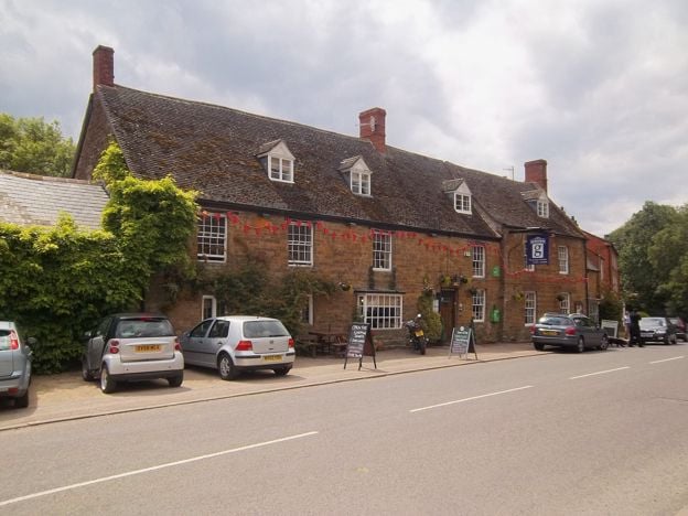
The George at Brailes on the high street at Lower Brailes is the checked pick: a village inn pouring Hook Norton, open seven days for breakfast, lunch and dinner, with a garden and rooms. The county history thought the building probably late sixteenth century. The Gate Inn at Upper Brailes has been closed since 2021, CAMRA records, so the George is the village's one pub.
When to come to Brailes
Any time of year suits the church. For the tower, arrange your visit in advance. St George's day, 23 April, is the church's own, and the market charter of 1248 gave Brailes a fair on the eve, day and morrow of St George, though we found no fair held today.
Over the border
Brailes is close to the Cotswolds' Warwickshire edge, and these places on our sister site, Cotswolds Info, are a short drive west:
- Shipston-on-Stour, the market town on the Stour, about 3.5 miles west
- Chipping Campden, the wool town at the start of the Cotswold Way
- Moreton-in-Marsh, the station on the Fosse Way
Last verified 11 November 2026 by our editors
Things to do in Brailes
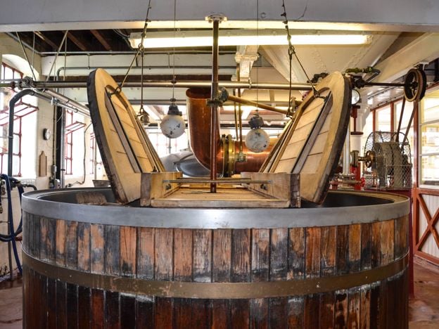
Tours and experiences · Hook Norton
Hook Norton Brewery
A family brewery in a Victorian tower at Hook Norton, with a steam engine of 1899, Shire horses that still deliver to two village pubs, and tours at £25. The climb is over 100 open steps, and there is a gentler monthly option. Shop and kitchen open daily.
-
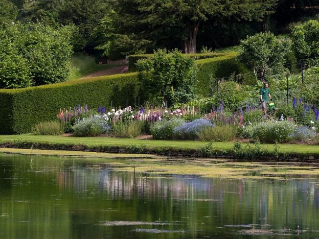
Upton House and Gardens
Historic houses and heritage
A National Trust house on the Edge Hill ridge, remodelled in the 1920s for the oil magnate Lord Bearsted to show his paintings by Bosch, El Greco, Stubbs and Hogarth, above terraced gardens that drop 30m to a Mirror Pool.
Family-friendly · Dog-friendly · Rainy days
Verified Nov 2026
Where to stay in Brailes
-
The George at Brailes
Pubs
A village inn on the high street at Lower Brailes, part of the Freespirit Pub Company, open seven days for breakfast, lunch and dinner, with local ales, a garden, first-floor bedrooms and a full calendar.
Dog-friendly · Walker-friendly
Verified Nov 2026
-
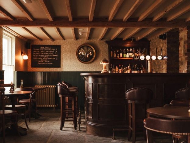
The Norman Knight, Whichford
Pubs
A pub with rooms in a restored former bakery at Whichford, serving seasonal British food and well-kept ales, with four rooms, five cabins, supper clubs, live music on Saturdays and a monthly car rally in summer.
Verified Nov 2026
-
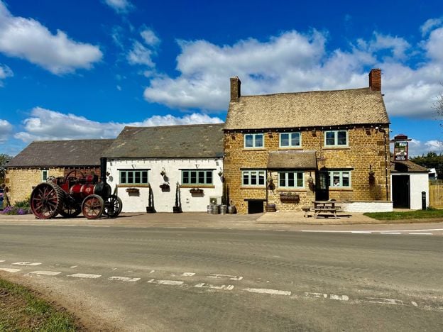
The Gate Hangs High, Hook Norton
Pubs · Hook Norton
A country pub on the Whichford road outside Hook Norton, with local ales, an open fire, freshly cooked food from Wednesday to Sunday, rooms and a large camping field with electric hook-ups.
Dog-friendly
Verified Nov 2026
Where to eat and drink in Brailes
-
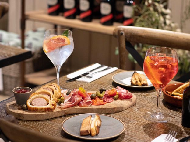
The Still House Café, Stourton
Cafes and tearooms
The café at the Cotswolds Distillery in Stourton, open every day with food until 3.30pm, using coffee from UE Roasters and meat from Barry the Butcher. Dogs on leads are welcome, and tables cannot be booked.
Dog-friendly
Verified Nov 2026
-
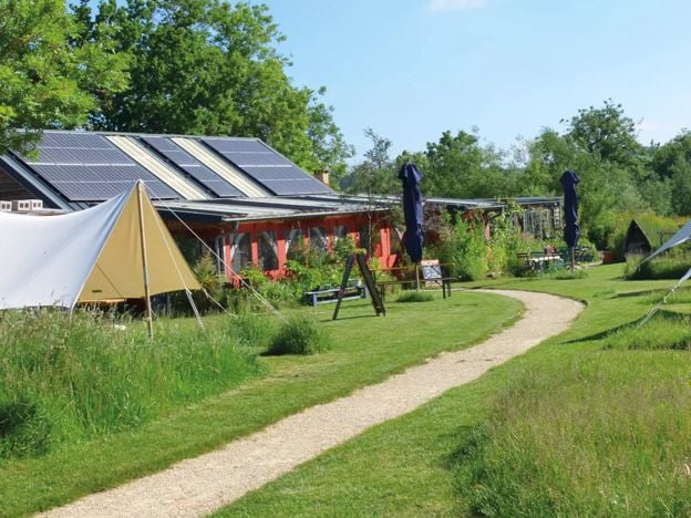
The Straw Kitchen, Whichford
Cafes and tearooms
The café at Whichford Pottery, open from Wednesday to Saturday, with a seasonal menu that changes weekly: brunches, soups, ramen, curries, salads and homemade cakes. It closes for a long winter break.
Verified Nov 2026
-
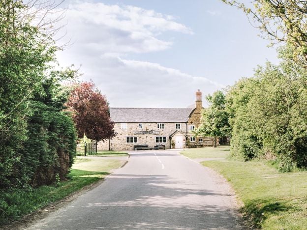
The Royal Oak, Whatcote
Restaurants
A Michelin-starred village pub at Whatcote, near Tysoe west of Banbury, run by Richard and Solanche Craven, with set menus of wild and seasonal food from close by. Open Wednesday to Saturday.
Verified Nov 2026
Sights in and around Brailes
-
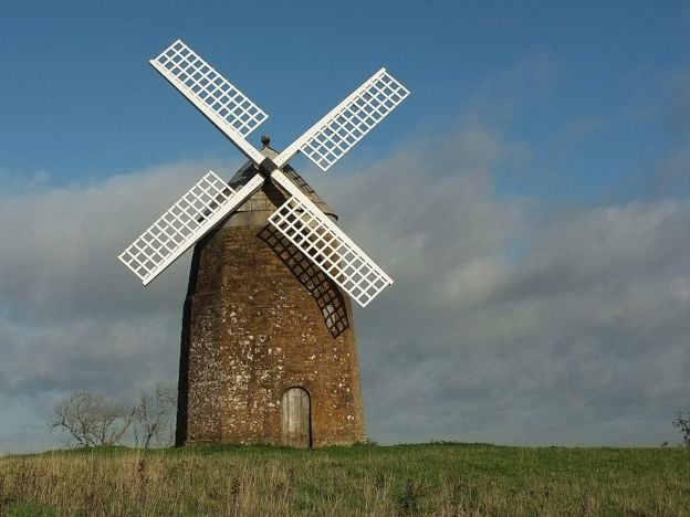
Tysoe Windmill
Sight · Historic building · Tysoe
An eighteenth-century ironstone tower mill on Windmill Hill above Upper Tysoe, Grade II, which worked until lightning struck it in 1915 and still holds its machinery. Seen from a public footpath that passes beside it; not open inside.
Getting to Brailes
- By train
- Banbury is the nearest station, about 8.5 miles east, with Chiltern trains from London Marylebone.
- By bus
- Stagecoach's 75 and 75A (Stratford to Banbury) serve Lower Brailes a few times a day, Monday to Saturday, with no Sunday bus (November 2026). About 32 minutes from Banbury. Check times first.
- By car
- About 10.5 miles and 20 minutes from Banbury Cross by road.
- Parking
- No public car park that we could find. Park with care on the village streets.
- Access
- We have not checked the church. The tower is 142 steps and opens only by arrangement. The footpaths round Castle Hill cross fields.
Places near Brailes
-
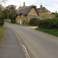 WhichfordA stone village in the hills near the Oxfordshire border, home to Whichford Pottery, where you can watch terracotta pots thrown by hand, and a Grade I church with the tombs of its medieval lords and Tudor rectors. Come midweek, from Wednesday to Saturday if you want lunch.
-
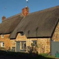 TysoeThree hamlets under the western face of Edge Hill, with a Grade I church in Middle Tysoe and an eighteenth-century ironstone windmill on the hill to the south. Come for the church and the footpath up Windmill Hill, with Compton Wynyates in its hollow beyond.
-
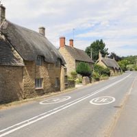 Long ComptonThe last Warwickshire village on the road from Chipping Norton, stretched for about three quarters of a mile below the Rollright Stones. A Grade I church entered under a thatched cottage, a coaching inn with rooms, and a walk up to the King Stone.
-
 Hook NortonA long ironstone village 8 miles south-west of Banbury, home to Hook Norton Brewery and its Victorian tower. It also has a Grade I church with a carved Norman font, the stone piers of two railway viaducts, the Sun Inn and footpaths published by its own history group.