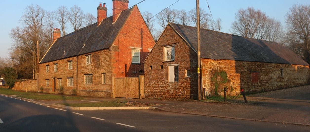
David Howard, CC BY-SA 2.0, via Wikimedia Commons
Charwelton
A village on the A361 named after the River Cherwell, which rises nearby, with a fifteenth-century packhorse bridge beside the road and a Grade I church out where a medieval village was probably emptied for sheep, with brasses, an alabaster tomb and Eric Gill's lettering.
- Nearest station
- None. Banbury is about 12 miles by road, then the A361 north
- Parking
- No car park. The benefice says there is no dedicated parking at its churches, so arrive early for a service and park with care in the lane
- Best time
- A dry day, for the walk across the fields to Holy Trinity
- When it's busy
- The village itself is quiet, but the A361 through it is the main road between Banbury and Daventry. Take care stopping by the bridge.
- Toilets
- None that we could find
About Charwelton
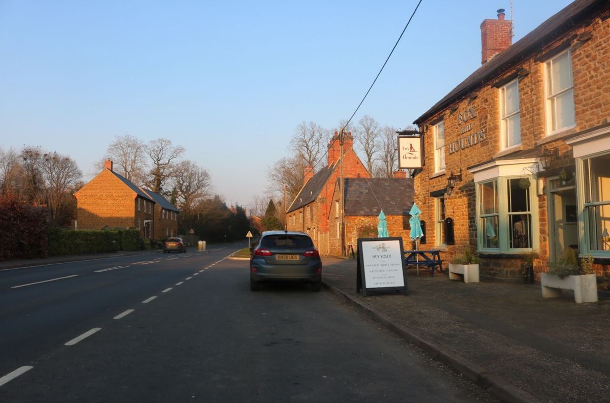
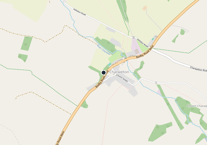
Charwelton is a small village on the A361 about 11 miles north of Banbury Cross in a straight line, between Byfield and Badby. It takes its name from the River Cherwell, which rises nearby and runs through the village as a stream. Most drivers pass straight through, but it has two things worth stopping for: a medieval bridge by the road and a church left standing when its village was deserted.
What to see in Charwelton
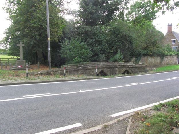
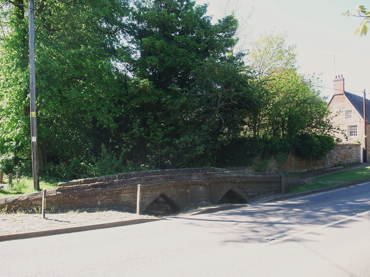
The packhorse bridge crosses the young Cherwell on the east side of the A361. It is probably fifteenth century, built of coursed, dressed ironstone, with two pointed arches, a cutwater on the upstream side and a low parapet. It is listed Grade II* and scheduled as a monument, and it now carries only a footpath. The war memorial stands beside it.
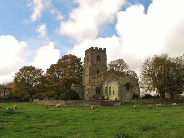
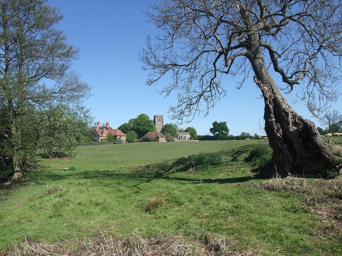
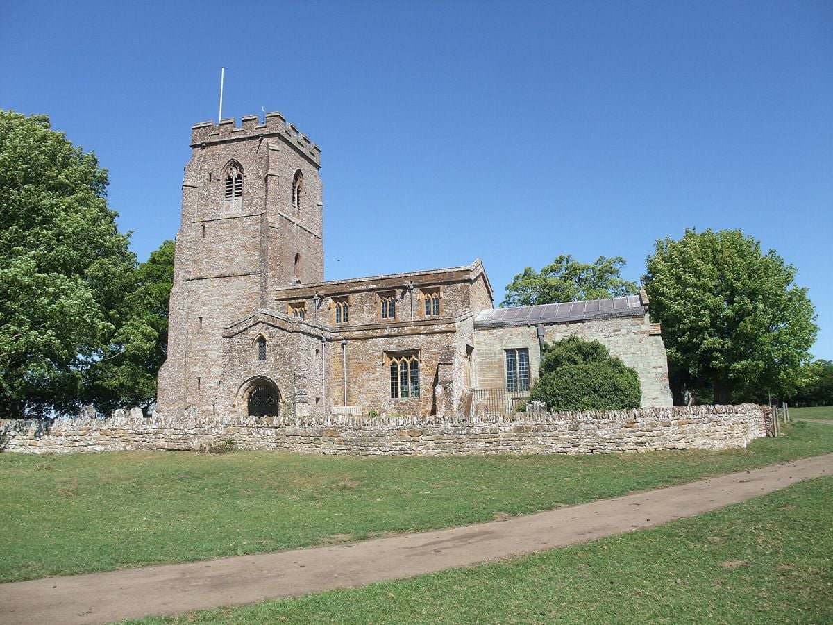
Holy Trinity stands at Church Charwelton, apart from the present village, with one farm beside it. It is listed Grade I, mainly of the fourteenth and fifteenth centuries in ironstone, with a two-storey south porch whose inside is rib-vaulted. G. Christopher Carter rebuilt the chancel in 1901 to 1904, and the Ten Commandments on either side of the reredos were painted by Eric Gill in 1904.
The Andrewes family, who made their money from sheep here, fill the church. Three brasses lie in the centre aisle: the oldest shows Thomas Andrewes and his wife Margaret, the next the second Thomas with his wife Emme, a Knightley, and the third a Thomas who died in 1541, with his wife Agnes. There is also an alabaster chest tomb with effigies of the Andrews family, which the benefice says was conserved in 2001, and a wall monument of 1590 in Reigate stone, put up by Thomas Andrewe in memory of his two wives. The lectern of Spanish chestnut was carved about 1900 by the Revd A. Hemsted of Preston Capes.
The lost village
Round the church are the earthworks of Church Charwelton, a village recorded by name in 1316 and deserted from the late fifteenth century. In 1491 the antiquary John Rous wrote that it was in danger of depopulation. The county's record thinks enclosure for sheep the likely cause: by 1547 an Andrews kept 1,200 sheep here and the Knightleys of Fawsley 500. You can still trace two old streets, ridge and furrow at the village bounds and a fishpond system, now almost dry. We found no scheduling for them, and they lie in farmland, so keep to the paths.
Walks from Charwelton
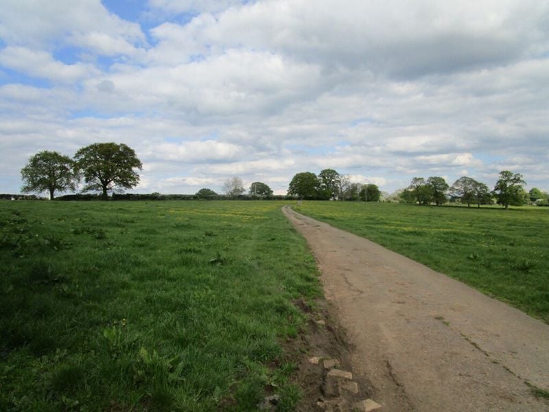
The Jurassic Way comes through Charwelton by the packhorse bridge and carries on west over the hills to Hellidon. From the other side, Woodford cum Membris Parish Council's walks (opens in a new tab) include a ramble from Woodford Halse to Charwelton church and back, about 90 minutes with some high stiles, the council warns, and a shorter walk to Charwelton and back on the Jurassic Way. We have not walked them.
Food and drink
We found nowhere to eat or drink in Charwelton. Byfield, about 2 miles south, has a Co-op for a picnic, and the nearest pub on our list is the Griffin Inn at Chipping Warden.
The Banburyshire newsletter
Events, new places and the best of the season, about once a month. Unsubscribe at any time.
When to come
Winter and early spring show the earthworks best, when the grass is short and the light is low. Any dry day suits the bridge and the church, and in spring the bluebells at Badby Woods are a short drive north.
Last verified 11 November 2026 by our editors
Things to do in Charwelton
Historic houses and heritage
Canons Ashby
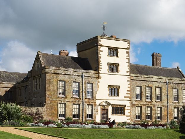
The Dryden family's Elizabethan manor house in south Northamptonshire, with painted rooms, Jacobean plasterwork and terraced gardens, beside the surviving church of a medieval priory. National Trust, north east of Banbury.
Where to eat and drink in Charwelton
-
The Griffin Inn, Chipping Warden
Pubs
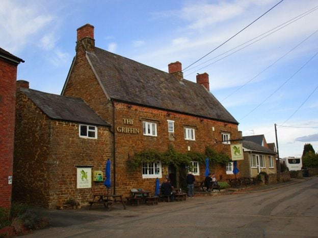
A Marston's village local at Chipping Warden, north-east of Banbury, with cask ales, a beer garden, a car park with accessible spaces, electric car charging and live sport.
Dog-friendly · EV charging
Verified Nov 2026
-
The Hare and Hounds, Wardington
Pubs
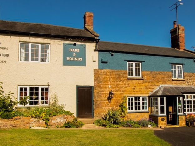
A Hook Norton pub on Edgcote Lane in Wardington, near Cropredy, with a large beer garden suited to small children and courtyard tables. Booking is advised for the Sunday roast. Camper vans stay free in the car park if you book in for a meal.
Family-friendly
Verified Nov 2026
Walks in and around Charwelton
-
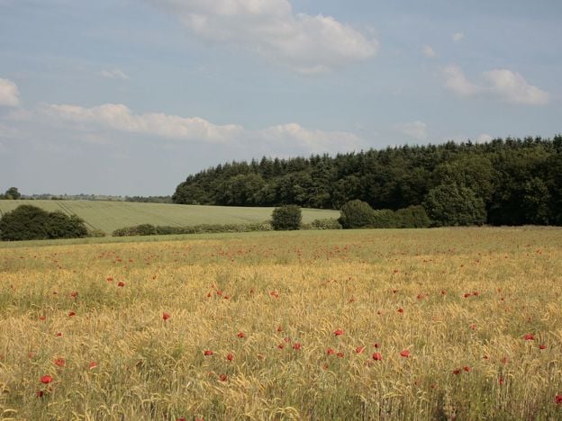
Badby Woods and Fawsley
Walk · Starts in Badby · 1 hr, 30 mins · Circular
A 2.9-mile (4.7km) circular walk from Fawsley across the old deer park to the edge of Badby Woods and up to Badby church, moderate and about an hour and a half, with about 120m of climbing. It follows the county council's Southern Circular and the Knightley Way.
Sights in and around Charwelton
-
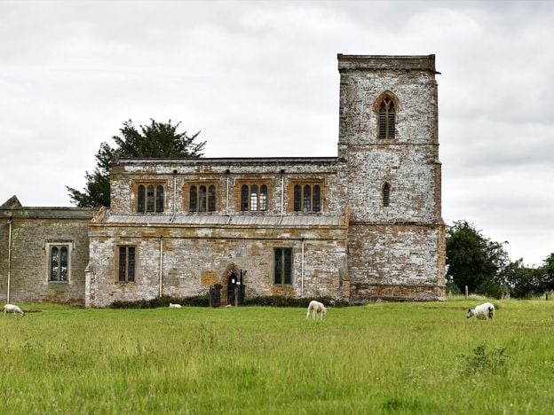
St Mary's Church, Fawsley
Sight · Church · Fawsley
A Grade I church standing alone in Fawsley's park, its village long gone, filled with Knightley tombs, brasses and box pews, with Washington arms in a window. Open daily, says the church, across a field and a ha-ha.
-
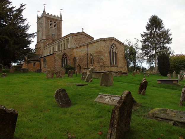
St Mary's Church, Badby
Sight · Church · Badby
Badby's Grade II* ironstone church on the hill above the greens, with a tower rebuilt after the old one fell in 1705, glass with the arms of Evesham Abbey, and the start of the Knightley Way opposite. Open every day, 10am to 4pm.
-
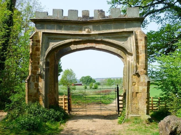
Badby Woods
Sight · Wood · Badby
An ancient bluebell wood at Badby, Northamptonshire, on the Fawsley estate: woodland for over 700 years, a deer park from 1246 and now an SSSI. Free and private, on permissive paths. Bluebells usually peak from late April into early May, and parking is for about 12 cars.
Getting to Charwelton
- By car
- About 12 miles from Banbury by road, about 22 minutes, straight up the A361 through Byfield.
- By bus
- Stagecoach's 200 between Banbury and Daventry stops at Charwelton, Church Street, roughly hourly Monday to Saturday, with no Sunday service. Northbound, it runs from about 7am to 7pm (November 2026).
- By train
- No station. Banbury is the nearest on the main line.
- Parking
- No car park. Pull well off the A361 near the bridge, and park with care in the lane to the church.
- Access
- We have not checked access. The packhorse bridge is beside the A361, on its east side. The church stands apart in pasture, and its earthworks are rough ground.
Places near Charwelton
-
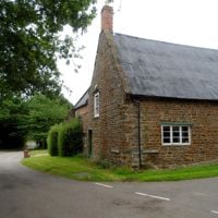 HellidonA small village in the hills where the River Cherwell begins, with a church rebuilt by William Butterfield, a converted windmill on the hill and the Jurassic Way passing through. A stop on a walk rather than a day out.
-
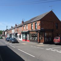 Woodford HalseThe railway village of the Great Central, which grew round a great marshalling yard and lost it in 1966. The embankment is now a community wood, and the church has a medieval effigy and brass. Come for the railway story and the walks, not for sights.
-
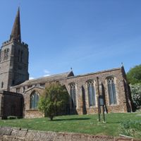 ByfieldA village of about 1,300 on the A361 between Banbury and Daventry, with a Grade I church, a 65-acre reservoir half a mile off and the hall where Sandy Denny played her last gig. A good stop on the way to Badby Woods, and the way to the Edgcote battlefield.
-
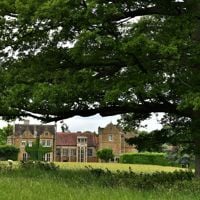 FawsleyNot a village at all, but a Tudor hall, a Capability Brown park with lakes and a Grade I church standing alone in the fields, full of Knightley tombs. Walk in from Badby, see the church, and leave the Hall to its hotel guests.