Walks near Bicester
Bicester's own walks are short and on pavements: a trail round the old town and a painted blue line to a nature reserve. The real walking is a few miles west, in the Cherwell valley, where the canal, the river and the Oxfordshire Way run side by side.
· 6 minute read
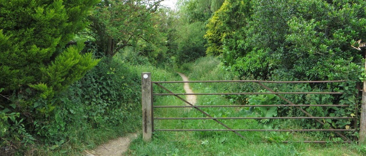
The best walks near Bicester are out of town, in the Cherwell valley: the Oxfordshire Way from Kirtlington to Weston-on-the-Green, 3.3 miles one way with a bus at both ends, and the circle from North Aston over the Causeway to Somerton Mill, 5.2 miles by the river and the canal. In the town, the Bicester Historic Town Trail is a 1.9-mile loop round the old streets, and the West Health Route is a 3.1-mile (5K) loop that ends in Bure Park.
How we chose: these are the walks we publish with a route you can download, each taken from a route that a council, a local history society or the county's waymarked path publishes, and checked against the map. None has yet been walked by our own team with the GPX, and each walk's page says so until we have. Nothing here is paid for. Two more routes near the Heyfords are written but held back, for the reasons below.
Walks in Bicester
Both town walks are flat, short and free, and you can do either from a station.
Bicester Historic Town Trail. A 1.9-mile (3km) easy circle round the old town, about an hour and a quarter with stops, joining up the 25 buildings on the free Bicester Historic Town Guide leaflet, which the Bicester Local History Society hosts. It starts at the priory's dovecote in Old Place Yard, though the leaflet says you can join it anywhere, and passes St Edburg's Church, the Causeway, the Market Square, Sheep Street and Garth House in Garth Park. Bicester Village station is about 0.4 miles from the start, and the council's short-stay Chapel Brook car park, on Chapel Street, is on the route. Most of the houses are lived in, so look from the pavement.
Bicester West Health Route and Bure Park. A 3.1-mile (5km) easy circle on a blue line painted on the ground, about 70 minutes and about 7,000 steps, one of three Health Routes Cherwell District Council made with NHS England funding as part of Bicester's Healthy New Town programme. It starts on Lucerne Avenue, behind Emmanuel Church (OX26 3HA), with markers on lamp posts, and ends through a tunnel under the railway in Bure Park Nature Reserve. There is no car park at the start, so come from Bicester North, about 0.8 miles away. The council's guide calls it wheel friendly, but OpenStreetMap maps double barriers in several places and the guide mentions metal barriers, so check them with a wheelchair or a wide pushchair.
The Oxfordshire Way from Kirtlington
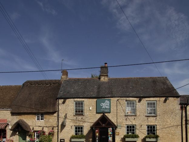
Oxfordshire Way: Kirtlington to Weston-on-the-Green. A 3.3-mile (5.3km) easy one-way walk on the county's waymarked long-distance path, about 80 minutes and almost flat. It starts at the Oxford Arms in Kirtlington, crosses Kirtlington Park and open fields, and ends on the B430 at Weston-on-the-Green. Expect field gates, a kissing gate and three stiles, one a stepover stile near the end, and keep dogs on a lead across the park.
The 24 bus links both ends from Monday to Saturday, with no Sunday service, so take it from Pioneer Square in Bicester to Kirtlington, walk to Weston, and catch it back from there. We found no public car park in Kirtlington. Before you set off, see St Mary's for its wall paintings; afterwards, the Oxford Arms serves food from Wednesday to Saturday and a Sunday roast.
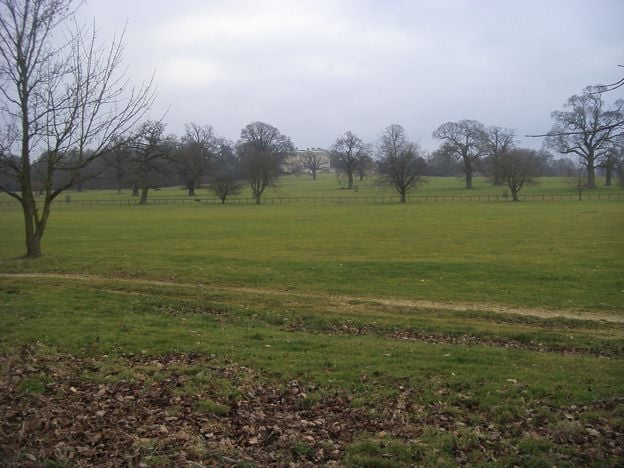
The Cherwell meadows: North Aston and Somerton Mill
North Aston, the Causeway and Somerton Mill. A 5.2-mile (8.4km) moderate circle from North Aston Green, about three hours with 81m of climbing, on Cherwell District Council's North Circular, the northern loop of its waymarked Cherwell Valley Walk. It crosses the Cherwell meadows on the Causeway, an old route to Somerton Mill, follows the Oxford Canal towpath north past two Second World War pillboxes, and climbs home above Bestmoor, a Site of Special Scientific Interest for its wet meadow plants and birds, past North Aston church.
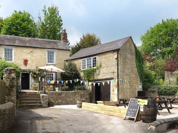
This is the walk to save for dry weather. The council's guide warns that the stretch towards Somerton Mill often floods after rain and asks walkers to turn back if it is too wet, and the towpath can be narrow, overgrown in summer and flooded in winter. Expect cows beside the canal, field gates (the guide says one is tricky to open) and an electric fence. There is no car park, so park considerately by the green, or take the S4 between Banbury and Oxford to North Aston Turn, about 600m from the start. Steeple Aston is the next village south, and the Chequers there serves lunch, but it is closed on Tuesdays, so ring first.

The Banburyshire newsletter
Events, new places and the best of the season, about once a month. Unsubscribe at any time.
Two Heyford walks we are holding back
Two more routes from Heyford station, on the Banbury to Oxford line, are written but not yet ready to recommend. The Heyfords Circular, a council loop up the towpath to Allen's Lock and back over the fields by Upper Heyford's church, measures about 12% longer on our map than the council's published distance, and we want to walk it before we stand behind the figure. The walk from Heyford station to Steeple Aston and Rousham's Eyecatcher is on hold because the council's own guide says part of it is impassable from flooding on the low ground west of the canal. Each page explains the problem.
Until then, the towpath itself is a simple walk from the Heyfords: level, along the canal past Allen's Lock towards Somerton, and back the same way. Kizzies is the café on the wharf beside the station. Rousham's garden, over Heyford Bridge, is a walk in itself, but it takes no dogs and no children under 15 without permission, and charges admission.
Other walking near Bicester
Cherwell District Council's older Cherwell Valley Walks leaflet sets out a figure of eight of about 14 miles through the valley, of which the North Aston circle is the northern loop. The council also publishes two more 5K Health Routes in Bicester, Langford and North East, on its website; we have not written them up because they stay among the town's housing estates. The Oxfordshire Way runs on from Weston-on-the-Green towards Islip, 3.4 miles further on the county's figure, and west from Kirtlington towards Stonesfield.
Some villages have no published walk at all. For Fritwell, Middleton Stoney and Stratton Audley we found no council or parish leaflet, so we suggest no route: plan any walk there with an OS map and the county's rights of way.
Before you go: mud, flooding, stiles and buses
The valley walks cross working farmland and flood meadows. Wear boots from autumn to spring, expect livestock and keep dogs on a lead near them, and check the weather before the North Aston circle. The town walks are on pavements and park paths and suit any day.
Buses help on two walks. The 24 serves both ends of the Oxfordshire Way from Monday to Saturday, and the S4 stops at North Aston Turn, roughly hourly on weekdays and every 90 minutes on Sundays. For everything else, getting to Bicester has the trains and buses into the town. For walks further north, walks near Banbury has the Edgehill ridge, the towpath to Cropredy and the Ironstone Heritage Walk.
Mentioned in this story
The places, sights and walks in this story, each with a page of its own: what it is, when to go and how to get there.
-
-
-
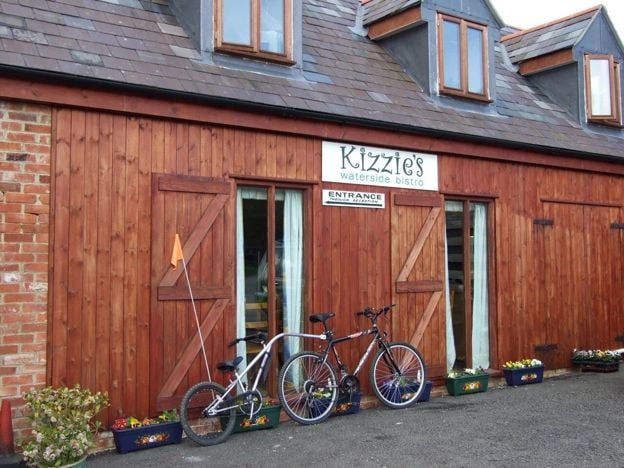
Kizzies Bistro, Lower Heyford
Cafes and tearooms · Upper and Lower Heyford
-
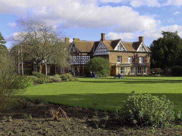
Garth Park, Bicester
Sight · Common or park · Bicester
-
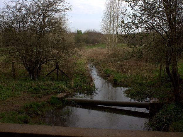
Bure Park Nature Reserve, Bicester
Sight · Nature reserve · Bicester
-
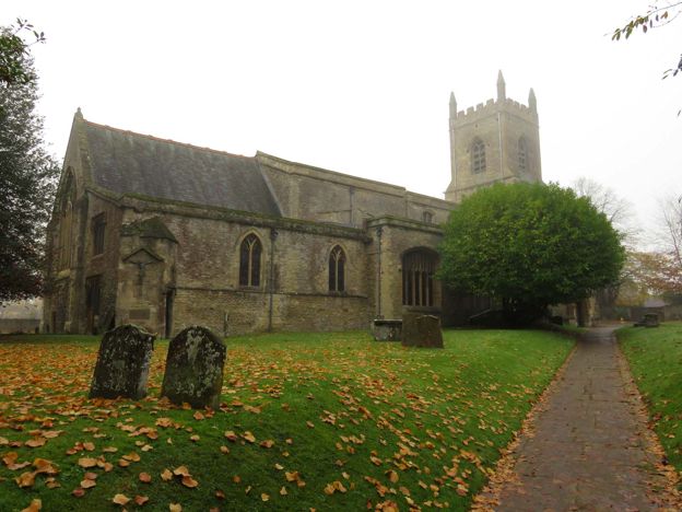
St Edburg's Church, Bicester
Sight · Church · Bicester
-
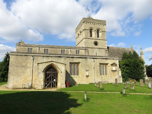
St Mary's Church, Kirtlington
Sight · Church · Kirtlington
-
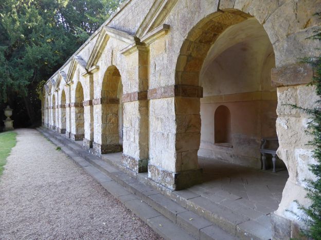
Rousham House and Garden
Sight · Historic building · Upper and Lower Heyford
-
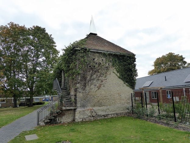
Bicester Historic Town Trail
Walk · Starts in Bicester · 1 hr, 15 mins · Circular
-
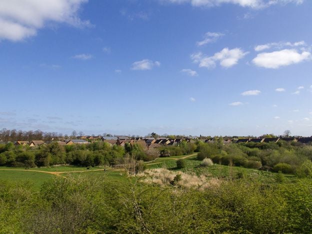
Bicester West Health Route and Bure Park
Walk · Starts in Bicester · 1 hr, 10 mins · Circular · Dog-friendly
Places to stay near Bicester
-

Travelodge Bicester
Hotel · Bicester
A budget chain hotel on Pioneer Square in the middle of Bicester, under half a mile from Bicester North station and within walking distance of Bicester Village, with family, accessible and pet-friendly rooms but no car park of its own.
Dog-friendly · Car-free
Verified Nov 2026
-
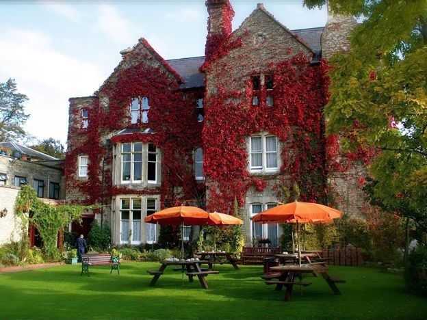
The Littlebury Hotel, Bicester
Hotel · Bicester
A family-run hotel on Kings End in Bicester since 1959, with 35 en-suite rooms, breakfast included, a lounge bar, gardens and a large car park, within walking distance of the town centre and Bicester Village.
Family-friendly · Wedding venues
Verified Nov 2026
-
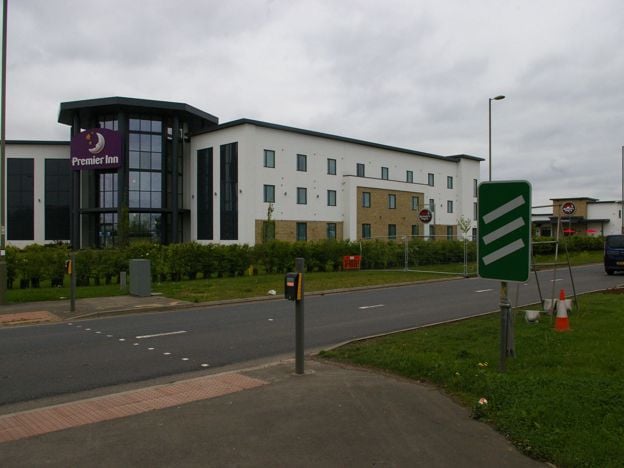
Premier Inn Bicester
Hotel · Bicester
A Premier Inn on Oxford Road, on the A41 at the southern edge of Bicester, half a mile from Bicester Village by the chain's measure, with family, accessible and Premier Plus rooms, a restaurant and a paid car park.
Family-friendly
Verified Nov 2026
Read next
-
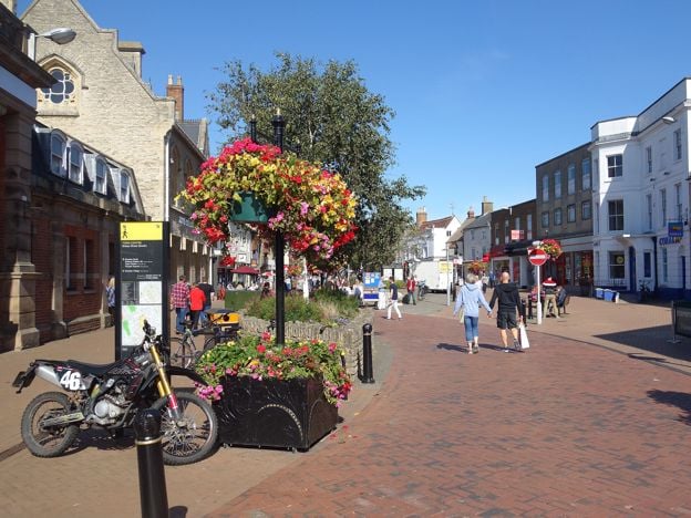
Things to do in Bicester
Story · Guides · 8 minute read
Things to do in Bicester: St Edburg's Church, the Market Square and the Friday market, the town trail and Garth Park, Bicester Village, the Scramble days at Bicester Heritage, then the Cold War tours at Heyford Park and Rousham's garden, with what to skip.
-
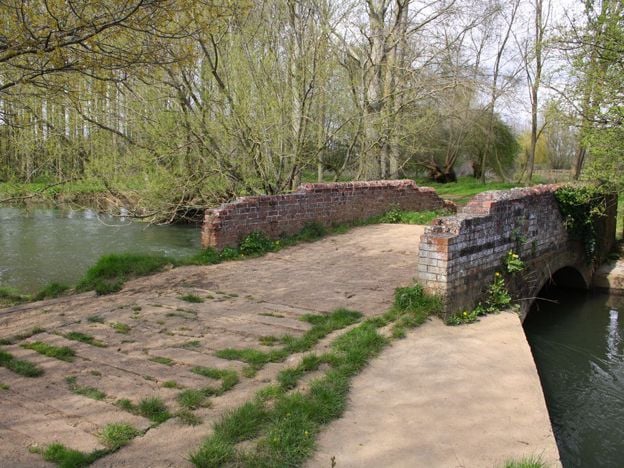
Villages between Banbury and Bicester
Story · Guides · 8 minute read
The villages between Banbury and Bicester, group by group: the Cherwell valley from Somerton to Kirtlington, the plateau villages of Souldern, Fritwell and Middleton Stoney, and the quiet country north-east of Bicester. Which are worth a stop, what each has, which have no pub.
-
Alchester: the Roman fortress and town under the fields south of Bicester
Story · History · 5 minute read
Just south of Bicester, under grass and plough, lies Alchester: a Roman army base dated by its gate posts to AD 44, then a walled town. The dig of 1996 to 2004, the veteran's tombstone found in its wall, and what there is to see now.