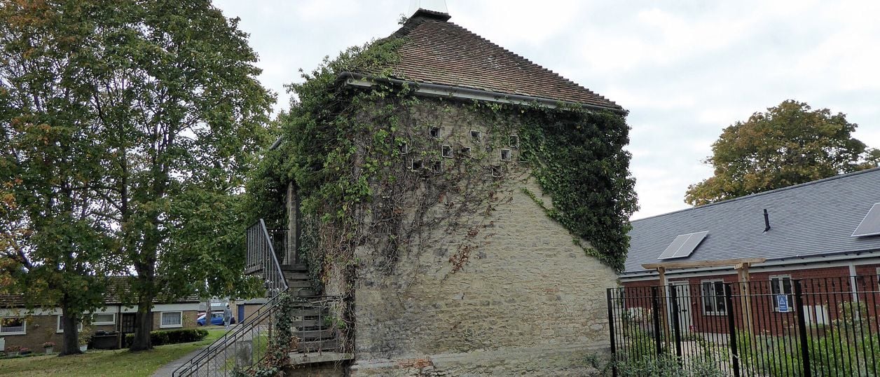
PAUL FARMER, CC BY-SA 2.0, via Wikimedia Commons
Bicester Historic Town Trail
The Bicester Historic Town Trail is a 1.9-mile (3km) easy circular walk round the old town, about an hour and a quarter with stops. It links 25 buildings on the council's leaflet, from the priory's dovecote and St Edburg's church to Market Square, Sheep Street and Garth Park.
- Distance
- 3.0 km (1.9 mi)
- Difficulty
- Easy
- Time
- 1 hr, 15 mins
- Ascent
- 5 m
- Circular
- Circular
The route
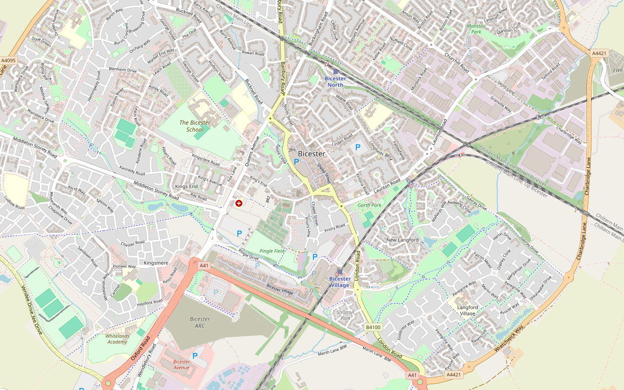
Starts at The Dovecote, Old Place Yard, by Priory Lane, Bicester Road walking Download GPX
Step by step
-
Step 1: The priory, St Edburg's and Church Street
Start at the Dovecote in Old Place Yard, stop 1, thought to stand on the site of the priory's own dovecote. Take the path to St Edburg's church, stop 2, and through the churchyard to the Old Vicarage and Church Terrace, stops 3 and 4.
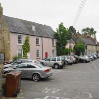
Turn left along Church Street and on into King's End, past Home Farm House and Bicester House, stops 5 and 6, then come back along Church Street past numbers 22 and 20, The Limes, and the Old Police House and Courthouse, stops 7 to 9.
-
Step 2: The Causeway, Market Square and Sheep Street
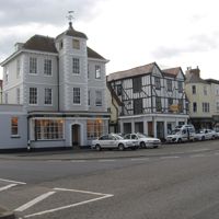
Turn left up the Causeway, stop 10, into Market Square. Look at 17 Market Square and the island block of 46, 48 and 51 from the square, stops 11 and 12, and at number 47 with its turret and fox weathervane. Market Square carries the B4100, so cross with care.
Walk up Sheep Street, which is pedestrian, past the Old Courthouse, Wesley Hall, the Bell Inn, the Methodist Church, the Penny Black, Ashton Club Yard and the Bear, stops 13 to 19, as far as Bell Lane. Come back down Sheep Street to Market Square.
-
Step 3: London Road and Garth Park
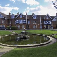
From the south end of Market Square, follow London Road a short way past Hometree House, stop 20, and turn into Garth Park.
Walk through the park to Garth House, stop 21, the town council's offices, then back out to London Road and Market Square. The park has opening hours, which the town council publishes, so check them if you come early or late.
-
Step 4: Back through Market Square to the priory
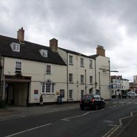
Pass the King's Arms and 30 Market Square, stops 22 and 23, and turn down Chapel Street past the Congregational Chapel, stop 24.
Follow Priory Lane to the Old Priory, stop 25, and take the path over the River Bure back to Old Place Yard and the Dovecote.
Sights on the way
The sights this walk passes, numbered as on the map.
-
St Edburg's Church, Bicester
Sight · Church · Bicester
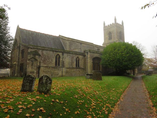
Bicester's Grade I parish church, grown from a Norman church with a central tower into the big Perpendicular church of today. Inside are brasses from about 1500, Georgian monuments by Scheemakers, Wilton and Westmacott, and a Morris & Co. window of 1866.
-
Bicester Market Square
Sight · Historic building · Bicester
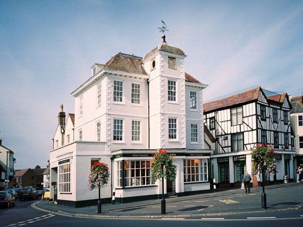
The old market place at the centre of Bicester, where the town's market was granted in 1239, lined with listed houses such as No. 47 of 1698 with its oval-windowed tower. The Friday market is on Sheep Street beside it, and the square is due to be remade.
-
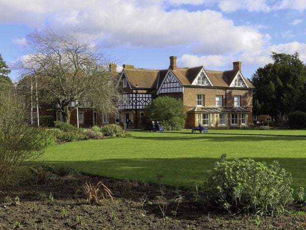
Garth Park, Bicester
Sight · Common or park · Bicester
Bicester's town park: about 9 acres of lawns, specimen trees and formal beds round Garth House, a Victorian hunting lodge given to the town in 1946. It has the 1732 bell of the old Town Hall, a bandstand, a café and play areas, a few minutes from Market Square.
The walk in detail
The Bicester Historic Town Trail is a 1.9-mile (3km) circular walk round the old centre of Bicester, about an hour and a quarter if you stop to read the buildings. It links 25 numbered stops on the council's leaflet, from the priory's dovecote and St Edburg's church through Market Square and Sheep Street to Garth Park. It is flat, on pavements, and starts a short walk from Bicester Village station.
The leaflet is the Bicester Historic Town Guide, which Bicester Town Council credits to Cherwell District Council and Bicester Local History Society hosts. It says the trail can be started at any point, and it asks walkers to respect residents' privacy by looking from a polite distance. Nobody from this guide has walked it yet; we follow the leaflet's map and its notes.
The priory and St Edburg's
Start where the town began. The leaflet says the Saxons settled by the River Bure and that Gilbert Bassett founded an Augustinian priory here in about 1182; it was dissolved in 1536, and once drew pilgrims to St Edburg. Few signs of it remain in Old Place Yard. The Dovecote, mainly seventeenth century, probably stands on the site of the priory's own, and the Old Priory, early sixteenth century, is believed to stand on the site of its guest house and to be built from its stone. Our story of St Edburg tells who she was.
St Edburg's church dates from about the twelfth century, the leaflet says, and is Bicester's only Grade I listed building. Look for the carving of the saint over the south door, and in the churchyard for the cholera stone, a memorial to 64 victims of the epidemic of 1832. Beside the church, the Old Vicarage, about sixteenth century and listed Grade II*, is probably the oldest house in the town.
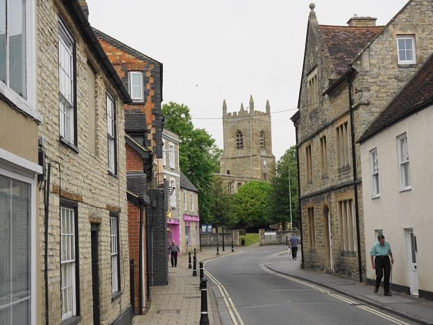
Church Street and King's End
Church Terrace is mainly seventeenth century and was a charity school, a pub, a bakery and the Swan Inn, which lodged prisoners in the early nineteenth century. In King's End, Home Farm House was one of the manor's bough houses, selling beer during sheep fairs, and Bicester House stands on the site of the medieval manor house of the nuns of Markyate; the Victoria County History says it was substantially rebuilt after a fire about 1820. Back on Church Street, number 22 is one of only two thatched buildings in Bicester, and the Old Police House of 1857 still has its window bars and cell doors inside.
Market Square and Sheep Street
The Causeway, reputedly laid by the priory's monks to reach the market, leads into Market Square, granted by a charter of Henry III in 1239. It is a typical medieval triangle, the leaflet says, which once held a town hall, a slaughterhouse and the stocks. Number 47, of 1698, is the merchant's house with oval windows under its turret and a weathervane of a running fox.
Sheep Street dates from the grant of a Friday market in 1441, probably for cattle and sheep. Along it are the Old Courthouse of 1864, whose arch is modelled on Caernarfon Castle's, the Bell Inn of about 1629, behind which, the leaflet says, the clockmaker Edward Hemins ran a bell foundry in the eighteenth century, and the Penny Black, built as the post office in 1914. Ourhistory of Bicester puts the market and the priory in order.

The Banburyshire newsletter
Events, new places and the best of the season, about once a month. Unsubscribe at any time.
Garth Park
Garth House was built as a hunting lodge: the leaflet says in 1875, the town council's own page in the 1840s. Bicester Urban District Council bought the house and its grounds in 1946, and the town council still has its offices there. The grounds are now Garth Park, the town council's park, with a café, Garth Park Kitchen (ring 01869 246947 to check its hours), a play area with more than 45 pieces of equipment for children of 2 to 14, and a skate park opened in February 2019. It is the obvious place for a break halfway round.
What walkers should know before setting out
This is a street walk, so the hazards are traffic: Market Square and London Road carry the B4100. Sheep Street is pedestrian. Garth Park has opening hours, which the town council publishes on its site. Most of the buildings are private houses, shops and pubs: look from the street. The leaflet dates from 2019, so some uses will have changed.
Getting there and parking
Bicester Village station is about 700m from the start on foot, which makes this an easy walk to add to a trip to Bicester Village; our getting to Bicester page has the trains and buses. To drive, Chapel Brook car park, on Chapel Street, is on the trail itself; ourparking guide has the charges.
Other walks nearby
The Bicester West Health Route is the council's flat 5K through Bure Park, on the north-west side of the town. For country, the Oxfordshire Way from Kirtlington is a bus ride away, and the Heyfords Circular follows the Oxford Canal from Heyford station. After dark, Bicester's ghost stories hang on several of these buildings.
Stay near the start
Inns, cottages and hotels within a short drive of where the walk begins, so you can set off early.
Where to stay in Bicester-
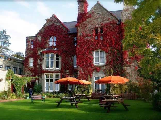
The Littlebury Hotel, Bicester
Hotel · Bicester
A family-run hotel on Kings End in Bicester since 1959, with 35 en-suite rooms, breakfast included, a lounge bar, gardens and a large car park, within walking distance of the town centre and Bicester Village.
Family-friendly · Wedding venues
Verified Nov 2026
-
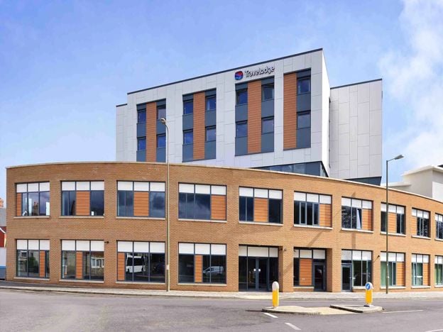
Travelodge Bicester
Hotel · Bicester
A budget chain hotel on Pioneer Square in the middle of Bicester, under half a mile from Bicester North station and within walking distance of Bicester Village, with family, accessible and pet-friendly rooms but no car park of its own.
Dog-friendly · Car-free
Verified Nov 2026
-
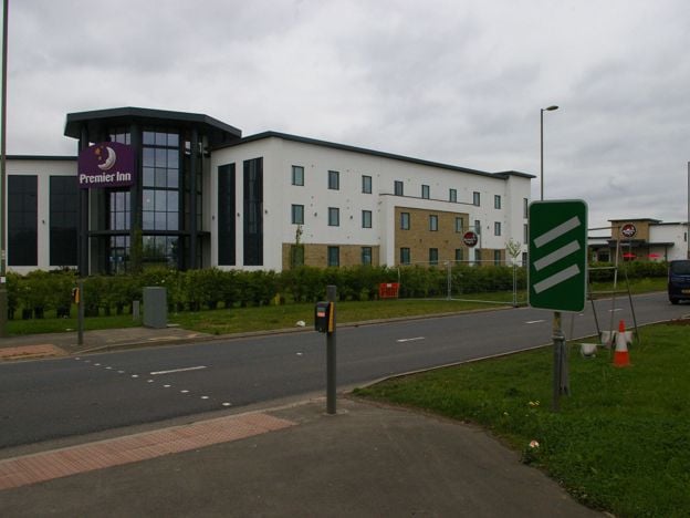
Premier Inn Bicester
Hotel · Bicester
A Premier Inn on Oxford Road, on the A41 at the southern edge of Bicester, half a mile from Bicester Village by the chain's measure, with family, accessible and Premier Plus rooms, a restaurant and a paid car park.
Family-friendly
Verified Nov 2026
More like this
Stories on this walk
-
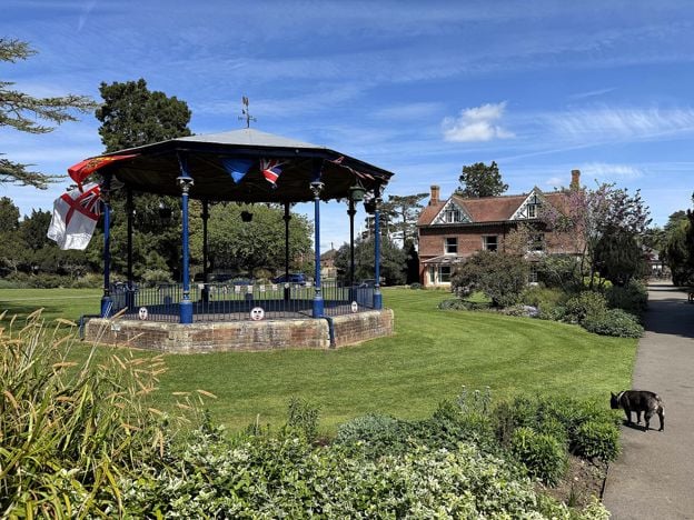
Bicester with children: days out for families
Story · Guides · 6 minute read
Bicester with children: the play area and skate park at Garth Park, newts at Bure Park, a climbing centre, a pool and a cinema in the town, Scramble days at Bicester Heritage, the Cold War airbase at Heyford Park and boats at Lower Heyford, with ages, prices and what to skip.
-
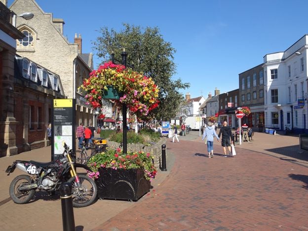
Things to do in Bicester
Story · Guides · 8 minute read
Things to do in Bicester: St Edburg's Church, the Market Square and the Friday market, the town trail and Garth Park, Bicester Village, the Scramble days at Bicester Heritage, then the Cold War tours at Heyford Park and Rousham's garden, with what to skip.
-
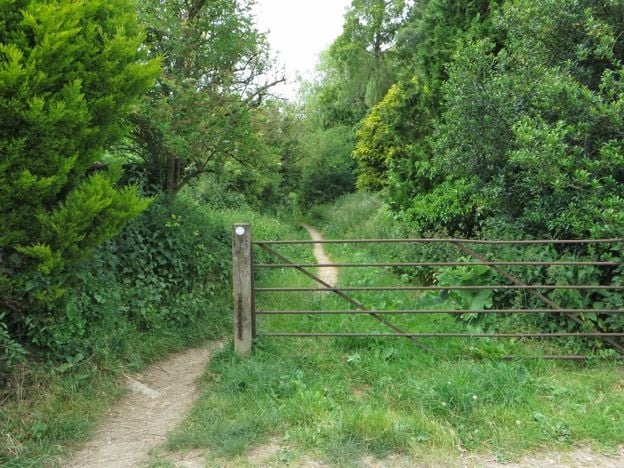
Walks near Bicester
Story · Guides · 6 minute read
Walks near Bicester: the Historic Town Trail and the West Health Route in the town, the Oxfordshire Way from Kirtlington and a circle over the Cherwell meadows to Somerton Mill, with distances, stiles, buses and the walks we are holding back.
More walks to try
-
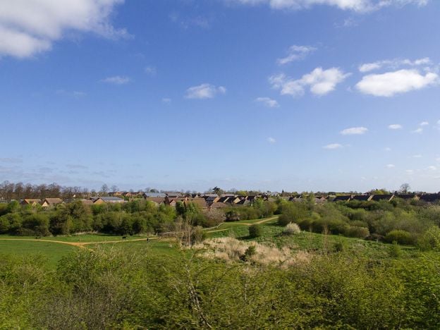
Bicester West Health Route and Bure Park
Walk · Starts in Bicester · 1 hr, 10 mins · Circular · Dog-friendly
The Bicester West Health Route is a 5K (3.1-mile) easy circular walk on a painted blue line through Bure Park and west Bicester, about 70 minutes. It is a town loop on pavements and paths, ending through a railway tunnel in Bure Park Nature Reserve.
-
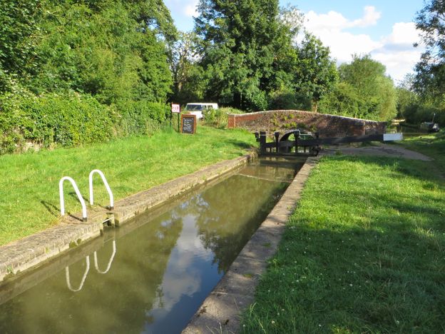
Heyfords Circular from Heyford Station
Walk · Starts in Upper and Lower Heyford · 2 hrs · Circular
The Heyfords Circular is a 3.4-mile (5.5km) easy circular walk from Heyford station, about two hours. It follows the Oxford Canal north to Allen's Lock, climbs to Upper Heyford's church and returns over fields to Lower Heyford's square. Flat, with gates, livestock and mud.
-
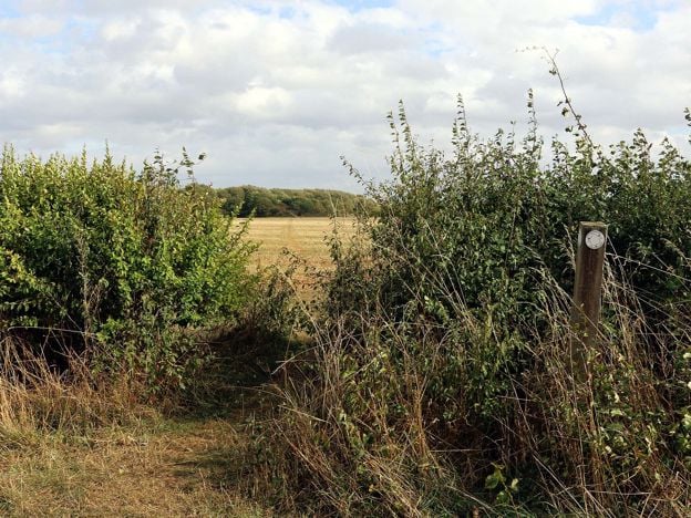
Oxfordshire Way: Kirtlington to Weston-on-the-Green
Walk · Starts in Kirtlington · 1 hr, 20 mins
A 3.3-mile (5.3km) easy one-way walk on the Oxfordshire Way from Kirtlington to Weston-on-the-Green, about 80 minutes. It crosses Kirtlington Park and open fields, with gates and three stiles, and the 24 bus links both ends, Monday to Saturday.