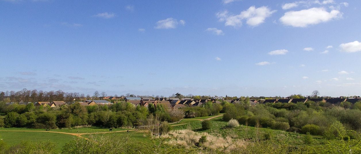
David P Howard, CC BY-SA 2.0, via Wikimedia Commons
Bicester West Health Route and Bure Park
The Bicester West Health Route is a 5K (3.1-mile) easy circular walk on a painted blue line through Bure Park and west Bicester, about 70 minutes. It is a town loop on pavements and paths, ending through a railway tunnel in Bure Park Nature Reserve.
- Distance
- 5.1 km (3.2 mi)
- Difficulty
- Easy
- Time
- 1 hr, 10 mins
- Ascent
- 7 m
- Circular
- Circular
The route
Starts at Lucerne Avenue, behind Emmanuel Church, Barbery Place, Bicester (OX26 3HA) Road walking Download GPX
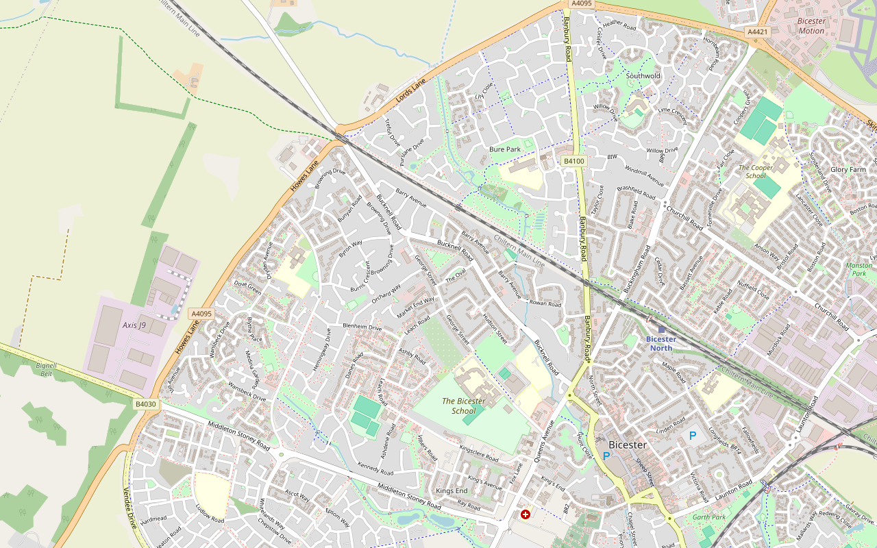
Step by step
-
Step 1: Lucerne Avenue to Rowan Road
Start on Lucerne Avenue behind Emmanuel Church in Barbery Place, where the council's guide says a Start sign is painted on the ground. Follow the blue line along the path, with hopscotch and games painted on it, and go through the metal barriers at the end.
Turn right along Banbury Road and cross carefully at the roundabout. Keep on Banbury Road, where the pavement splits away onto its own path for a while and then rejoins the road. Bure Park Nature Reserve is on your right; you come back through it at the end. Turn right onto Rowan Road, about the first kilometre.
-
Step 2: Rowan Road to Leach Road
Cross Almond Road and carry on along Rowan Road, then cross Graham Road onto Barry Avenue, crossing to the other side where the blue line does. Take the alleyway on the left and turn right at its end onto Bucknell Road.
Cross Bucknell Road and turn left onto The Approach, where the pavement is narrow, crossing where the line does. Follow the road round to the right into Hudson Street and West Street, past the 1.5k marker, and on as the path curves left. Cross George Street and go straight along Leach Road, past the allotments, crossing Blenheim Drive at the 2k marker.
-
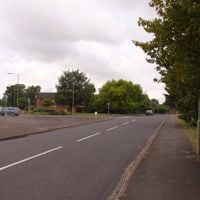
Step 3: Dangerfield and Shakespeare Drive
Cross Danes Road, and where Leach Road bends left, turn right onto the path between the houses and the park. Continue along Langford Gardens, turn left onto Danes Road and cross it, then take the little alleyway between the houses on the right.
Turn left at the sign into the green space known locally as Dangerfield, a meadow and woodland with nature information posts, where you can wander before rejoining the line. The halfway mark is on this path. At the end of the alleyway, turn right onto Lawrence Way, take the first left and carry on along Lawrence Way, crossing to follow the line.
Turn right onto the path alongside Shakespeare Drive, past the 3k marker. It opens onto the road and crosses Blenheim Drive, Burns Crescent and Brook Road.
-
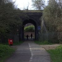
Step 4: Browning Drive, the tunnel and Bure Park
Turn right onto Browning Drive at the 3.5k marker, cross Buchan Road and follow Browning Drive as it bends right. Cross it and turn left onto Kingsley Road, with a kilometre to go.
Cross Bucknell Road carefully and look for the small gap with a path through to Barry Avenue. Follow Barry Avenue until a path on the left leads to Bure Park, and go through the tunnel under the railway.
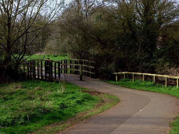
In Bure Park, follow the main path ahead, past the 4.5k marker and over the bridge across the stream. Keep on the main path as it bends right, back to the finish near the start.
Sights on the way
The sights this walk passes, numbered as on the map.
-
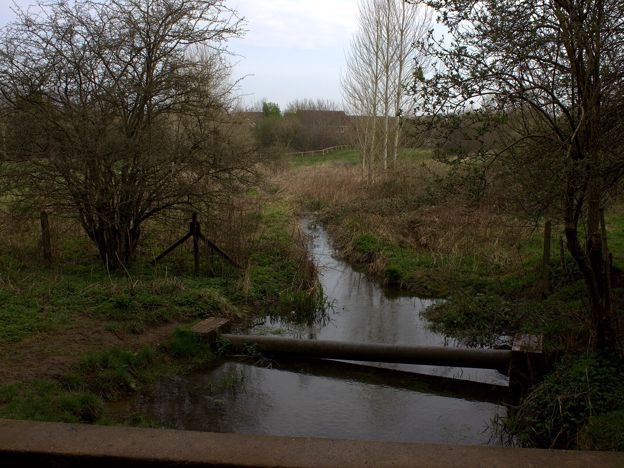
Bure Park Nature Reserve, Bicester
Sight · Nature reserve · Bicester
A local nature reserve of 8.4 hectares on the north side of Bicester: meadow, young woodland, hedges and scrub along the little River Bure, with a pond that holds great crested newts. Free, small and local, a ten-minute walk from the town centre.
The walk in detail
The Bicester West Health Route is a 5K (3.1-mile) circular walk round the Bure Park side of Bicester, about 70 minutes on pavements and paths with almost no climbing. A blue line painted on the ground leads the whole way, with kilometre markers on the lamp posts, and the last stretch goes under the railway into Bure Park Nature Reserve.
Be clear what it is: a town loop through housing estates, built for the people who live there, not a country walk. It suits a visitor staying on this side of town, or anyone who wants an easy, flat 5K with the nature reserve at the end. For the old town, take the historic town trail instead. Nobody from this guide has walked it yet; the directions come from the council's guide and map.
Bicester's health routes
Cherwell District Council made three of these blue-line routes in Bicester, West, Langford and North East, each a 5K loop. They were paid for by NHS England as part of the Bicester Healthy New Town programme, which aimed to get residents more active, and the council says a full loop is about 7,000 steps. If 5K feels too far, its advice is to start with 1K. Our story of the Elmsbrook eco-town covers the Healthy New Town work on the north-west side of the town.
The West route goes south down Banbury Road, west through the streets off Bucknell Road and Shakespeare Drive, and back north to finish in Bure Park. Painted hopscotch and games along the way are meant for children, and the council's guide calls the route child friendly.
Dangerfield and Bure Park
Two green spaces break up the streets. Halfway round, an alley opens onto Dangerfield, a small meadow and wood with nature information posts; the council's guide calls it much nicer than it sounds, and suggests a short stroll round it before rejoining the line. Look up for red kites over the houses on the way.
The finish is the better part. A path from Barry Avenue goes through a tunnel under the railway into Bure Park, and the route follows its main path over a stream on a bridge painted with graphics. The council's map marks this as the Bure Park Nature Reserve section, and its guide suggests coming back another day to explore the reserve properly.

The Banburyshire newsletter
Events, new places and the best of the season, about once a month. Unsubscribe at any time.
What walkers should know before setting out
It is all pavements and surfaced paths, so it stays clean underfoot in winter. The council's guide tags it wheel friendly, but it also has you go through metal barriers at the end of the first path, so check them with a wide pushchair or a wheelchair; we have not.
The road crossings are the hazard, as of the guide's last update in October 2023: the roundabout on Banbury Road, Bucknell Road twice, The Approach, where the pavement is narrow, and a run of estate roads. The blue line shows where to cross.
Getting there and parking
Bicester North is the nearest station, about 1.3km from the start, or about 600m to join the route on Banbury Road by Rowan Road; Chiltern Railways trains run there from Banbury and London Marylebone. We found no car park at the start; our parking guide has the town's car parks. There is no café or pub on the route itself.
Other walks nearby
The historic town trail is the short walk round the old centre, from the priory's dovecote to Garth Park. For the country, the Heyfords Circular starts from Heyford station, on the line between Banbury and Oxford, and the Oxfordshire Way from Kirtlington is a bus ride from the town centre.
Stay near the start
Inns, cottages and hotels within a short drive of where the walk begins, so you can set off early.
Where to stay in Bicester-

Travelodge Bicester
Hotel · Bicester
A budget chain hotel on Pioneer Square in the middle of Bicester, under half a mile from Bicester North station and within walking distance of Bicester Village, with family, accessible and pet-friendly rooms but no car park of its own.
Dog-friendly · Car-free
Verified Nov 2026
-
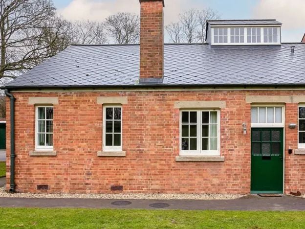
The Crew Rooms at Bicester Motion
Self-catering · Bicester
Four en-suite rooms and suites in Building 82, the 1926 Power House on the Technical Site of the old RAF Bicester, now Bicester Motion, each named after a station commander and booked only through Red Kite Stays.
Verified Nov 2026
-
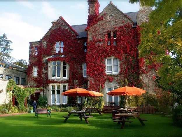
The Littlebury Hotel, Bicester
Hotel · Bicester
A family-run hotel on Kings End in Bicester since 1959, with 35 en-suite rooms, breakfast included, a lounge bar, gardens and a large car park, within walking distance of the town centre and Bicester Village.
Family-friendly · Wedding venues
Verified Nov 2026
More like this
Stories on this walk
-
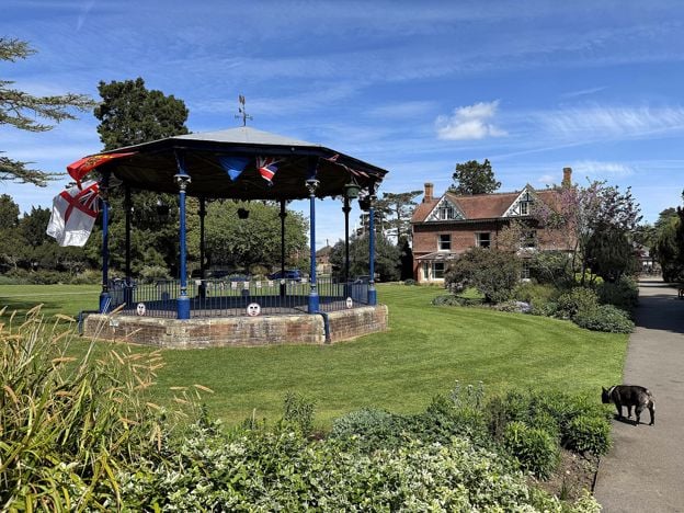
Bicester with children: days out for families
Story · Guides · 6 minute read
Bicester with children: the play area and skate park at Garth Park, newts at Bure Park, a climbing centre, a pool and a cinema in the town, Scramble days at Bicester Heritage, the Cold War airbase at Heyford Park and boats at Lower Heyford, with ages, prices and what to skip.
-
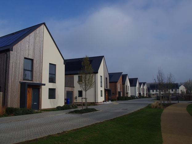
Elmsbrook and the Bicester eco-town: the story of North West Bicester
Story · History · 26 minute read
Elmsbrook is the first phase of North West Bicester, the only one of Labour's eco-towns built to the 2009 standards. This is the full story: the programme and why it failed elsewhere, the rules, who built it, what monitoring found, the later phases, and how to see it.
-
Things to do in Bicester
Story · Guides · 8 minute read
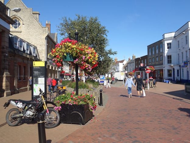
Things to do in Bicester: St Edburg's Church, the Market Square and the Friday market, the town trail and Garth Park, Bicester Village, the Scramble days at Bicester Heritage, then the Cold War tours at Heyford Park and Rousham's garden, with what to skip.
More walks to try
-
Bicester Historic Town Trail
Walk · Starts in Bicester · 1 hr, 15 mins · Circular
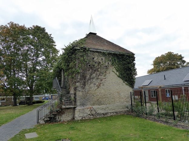
The Bicester Historic Town Trail is a 1.9-mile (3km) easy circular walk round the old town, about an hour and a quarter with stops. It links 25 buildings on the council's leaflet, from the priory's dovecote and St Edburg's church to Market Square, Sheep Street and Garth Park.
-
Heyfords Circular from Heyford Station
Walk · Starts in Upper and Lower Heyford · 2 hrs · Circular
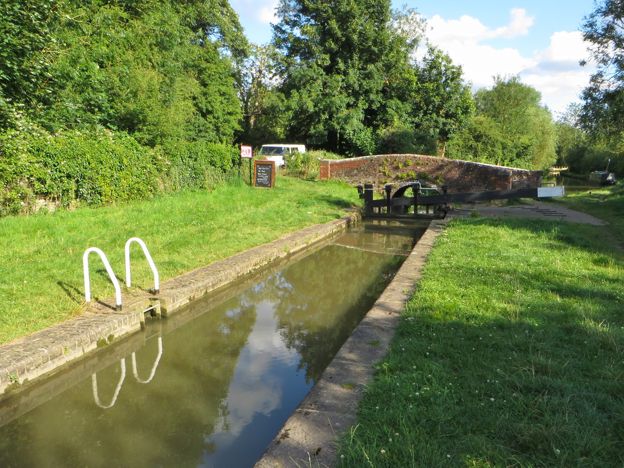
The Heyfords Circular is a 3.4-mile (5.5km) easy circular walk from Heyford station, about two hours. It follows the Oxford Canal north to Allen's Lock, climbs to Upper Heyford's church and returns over fields to Lower Heyford's square. Flat, with gates, livestock and mud.
-
Oxfordshire Way: Kirtlington to Weston-on-the-Green
Walk · Starts in Kirtlington · 1 hr, 20 mins
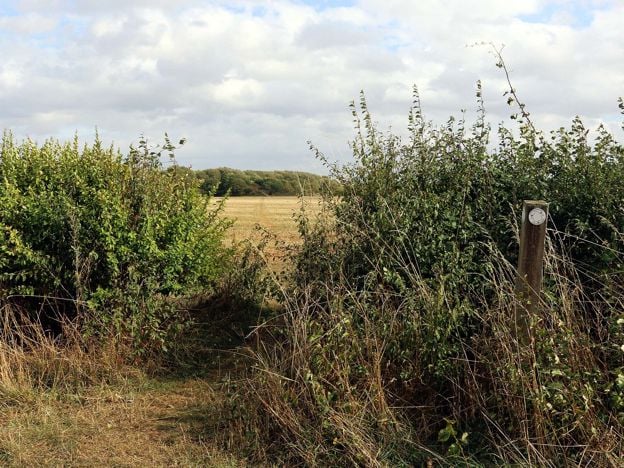
A 3.3-mile (5.3km) easy one-way walk on the Oxfordshire Way from Kirtlington to Weston-on-the-Green, about 80 minutes. It crosses Kirtlington Park and open fields, with gates and three stiles, and the 24 bus links both ends, Monday to Saturday.