Villages between Banbury and Bicester
The quick way from Banbury to Bicester, down the M40 to junction 10 and on through Ardley, takes under half an hour and passes almost nothing. The villages are off to either side, and the best of them are in the Cherwell valley to the west, where the river, the canal and the railway run together.
· 8 minute read
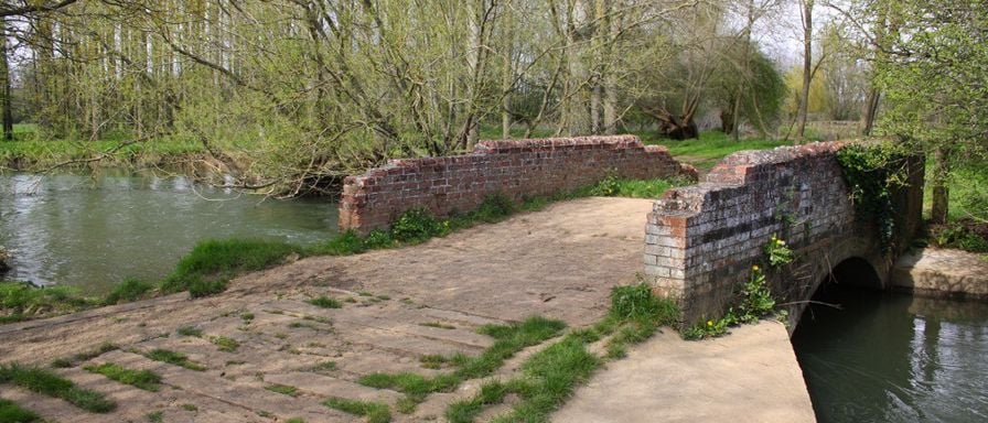
The villages worth a stop between Banbury and Bicester are in the Cherwell valley to the west: the Heyfords, for the canal, the medieval bridge, the Cold War airbase and Rousham across the river, Kirtlington for its church and the Oxfordshire Way, and Steeple Aston for a grand monument and a reopened pub. On the plateau nearer the M40, Souldern has the Fox, while Fritwell and Middleton Stoney are short stops for a church each. Stratton Audley, on the far side of Bicester, has the best church monument of them all.
How we chose: this is a desk guide, written from the Victoria County History, Historic England's list, the councils' and parishes' own pages and the bus timetables, and nothing here is paid for. Nobody from the guide has yet visited for this page. We counted a village worth a stop if it has something to see that a source can stand behind and somewhere to eat or walk; the ones that have neither are named, with the little we know, so you know not to make the trip for them. Pubs are named only where the pub's own site showed it trading in 2026, unless we say otherwise.
How the country lies
Banbury is about 17 miles from Bicester by road, about 26 minutes by the M40 to junction 10 and on through Ardley, by our routing. The road runs along a high, open plateau, and the villages on it are small and mostly built of local rubble stone. To the west the land drops into the Cherwell valley, where the river, the Oxford Canal and the Banbury to Oxford railway run side by side from Aynho down past Somerton and the Heyfords towards Kirtlington. That valley is where most of the reasons to stop are.
Straight-line distances from Banbury Cross, by our measurement: Fritwell about 8 miles, Upper Heyford about 9, Lower Heyford about 10, Middleton Stoney about 12, Stratton Audley and Kirtlington about 13. From Bicester, Stratton Audley is under 3 miles, Middleton Stoney about 3, and the others 5 to 6.
The Cherwell valley: the Heyfords, Steeple Aston and Kirtlington
Upper and Lower Heyford are the best pair to visit. Lower Heyford has the station, a canal wharf and Heyford Bridge, first recorded in 1255 and listed Grade II*, with Rousham's garden on the far side. Upper Heyford has a fifteenth-century barn built for New College, Oxford, listed Grade I but on private land. On the plateau above, the old airbase is now Heyford Park, and the Cold War sites can be seen on a booked Sunday tour from the heritage centre, which is free to visit three days a week. Kizzies at Heyford Wharf is open daily, and the Horse and Groom is at Caulcott, a mile east. Lower Heyford's own pub, the Bell, closed in April 2025.
Steeple Aston, across the valley, is built on both sides of a steep little valley of its own. Its church holds the monument Henry Scheemakers made for the judge Sir Francis Page and his wife, reclining under a classical portico, and the Chequers, the old Red Lion, reopened in July 2026 as a Hook Norton pub. The S4 bus between Banbury and Oxford stops in the village. William Kent's Eyecatcher for the view from Rousham stands in the parish.
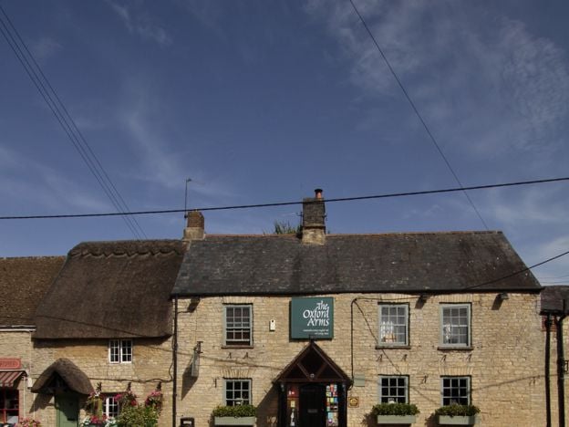
Kirtlington, further south and about 5 miles south-west of Bicester, is a long stone village beside the Dashwoods' park. St Mary's has late medieval paintings of St George and St Christopher, and the quarry west of the village is, in Natural England's words, the richest site for Middle Jurassic mammals known anywhere. The Oxfordshire Way passes through, the Oxford Arms serves food from Wednesday to Sunday, and the village holds its Lamb Ale, a feast already old in 1679, over a weekend in late May.
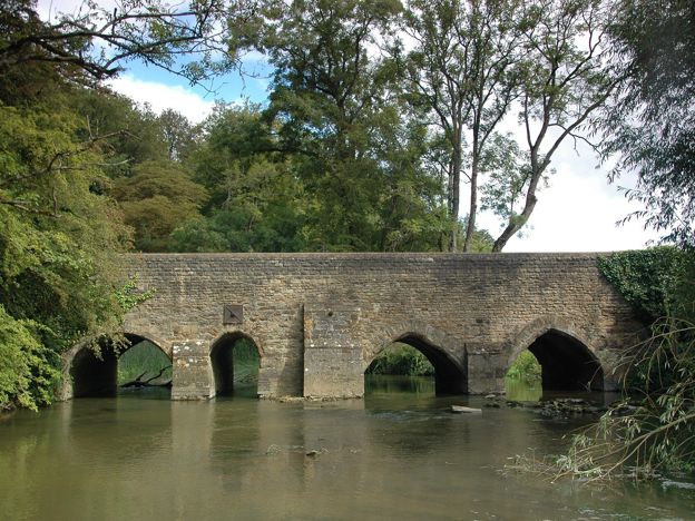
Small villages in the valley: Somerton and North Aston
Somerton, by the canal between Souldern and the Heyfords, and North Aston, on the high ground west of the river, have no guide of their own, but our circular walk from North Aston joins them: over the Causeway across the Cherwell meadows to Somerton Mill, up the towpath past two Second World War pillboxes, and back past North Aston's church and a drinking fountain of 1863. It floods after rain.
The plateau: Souldern, Fritwell and Middleton Stoney
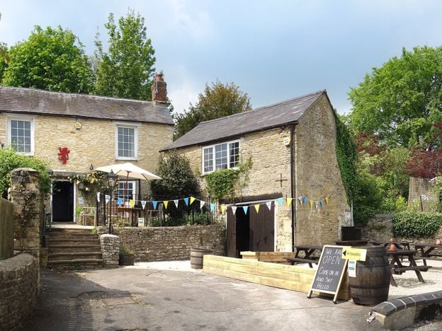
Souldern, just south of Aynho and close to junction 10, is a village of silver-grey stone with manor houses of the 1600s and a church partly rebuilt by Comper and Bodley. Wordsworth stayed at the old rectory, which has since been pulled down. The Fox, licensed since 1784, serves food from Wednesday to Sunday and has four rooms, which makes Souldern the best place on this side of the road to stop for a meal.
Fritwell, about a mile and a half south-east of Souldern, is worth half an hour for St Olave's church, where a Norman tympanum over the south door carves two monsters either side of a tree, and for the Jacobean manor that belonged to Sir John Simon, later Lord Chancellor; look at it from the road. Both its pubs have closed, so eat at Souldern.
Middleton Stoney, at a crossroads about 3 miles west of Bicester, is the Earls of Jersey's village. In their park stand All Saints, with a carved Norman doorway and a church the benefice says is normally open in daylight, and the tree-covered mound of a castle that King John ordered destroyed in 1216. The Jersey Arms closed as a pub in 2021. It is an hour's stop on the way to the Heyfords or Kirtlington.
Ardley and Fewcott, on the old Oxford to Brackley road between Fritwell and the motorway, have no guide. The Cherwell Valley services and their Travelodge are at Ardley. CAMRA lists the White Lion at Fewcott, which has no website of its own that we could find, so ring before you go.

The Banburyshire newsletter
Events, new places and the best of the season, about once a month. Unsubscribe at any time.
North-east of Bicester: Stratton Audley and the Lark Rise country
Stratton Audley, about 2 miles north-east of Bicester, is small, but its Grade I church holds the marble tomb of Sir John Borlase, who died in 1688 or 1689, reclining as a Roman with a mourner on either side. The church is dedicated to St Mary and St Edburg, Bicester's own saint. The parish council reported that the Red Lion reopened in July 2025; it has no website of its own that we found, so check before you go.
Further north, towards Brackley, is the country of Flora Thompson's Lark Rise to Candleford. Juniper Hill, the hamlet where she was born in 1876, is her Lark Rise; Cottisford, with the church where she has a memorial, is Fordlow; and Fringford, where she worked in the post office, is Candleford Green. All three are lived-in villages rather than attractions, so look from the road. Hethe, between them and Bicester, has the Muddy Duck, open from Thursday to Sunday, the one pub in this corner with a site of its own showing it trading.
The other small villages here, Bucknell, Stoke Lyne, Caversfield and Hardwick, have no guide here. The Trigger Pond at Bucknell and the Peyton Arms at Stoke Lyne appear on their breweries' sites but have no websites of their own we could find, so ring before relying on either. Caversfield, on the Banbury road at Bicester's northern edge, is where Elmsbrook, the eco-town, was built.
At the Banbury end: Aynho, Deddington and the Tews
Nearer Banbury, the villages are covered in villages near Banbury. Aynho, an estate village with apricot trees on its walls, sits a mile above Aynho Wharf on the canal. Deddington, on the A4260, has a big market square, castle earthworks you can walk for free and a monthly farmers' market. To the west, Great Tew is the estate village of thatch most people come for; Little Tew and Duns Tew, its neighbours, have no guide of their own.
A day between Banbury and Bicester
By car, from Banbury: take the A4260 south to Deddington, then carry on down the same road to Steeple Aston for the Page monument. Drive over Heyford Bridge to Lower Heyford, and on a Sunday from March to November book the morning tour at Heyford Park first. Have lunch at Kizzies, the Horse and Groom or the Oxford Arms, spend the afternoon in Rousham's garden or on the Oxfordshire Way at Kirtlington, and come back through Middleton Stoney into Bicester, or north by Fritwell and Souldern.
Without a car, the villages are hard work. The S4 links Banbury, Deddington and Steeple Aston every day of the week. The 25 and 25A run from Bicester through Middleton Stoney to Heyford Park and Upper Heyford, between them up to twice an hour from Monday to Saturday, and on Sundays Stagecoach runs a 25A from Bicester through Middleton Stoney to Heyford Park. The 24 serves Kirtlington; the 81 loops from Bicester through Souldern, Somerton, Fritwell, Fewcott and Ardley; and the 82 through Hethe and Stratton Audley, each only a few times a day from Monday to Saturday. Heyford station, on the Banbury to Oxford line, has an infrequent service, so check the timetable. Getting to Bicester has the buses into the town.
What to skip
Do not drive out for a village because it is on this list. Fritwell, Middleton Stoney and the small villages north-east of Bicester are pleasant but quick, and several have lost their pubs, so pair them with a neighbour. Kirtlington Park, Middleton Park and the manors at Fritwell and Stratton Audley are private. And the Heyfords' airbase cannot be wandered: book the tour or see it from the heritage centre.
Mentioned in this story
The places, sights and walks in this story, each with a page of its own: what it is, when to go and how to get there.
-
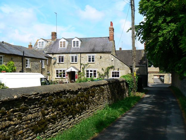
The Fox Inn, Souldern
Pubs · Souldern
-
-
-
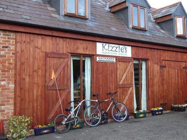
Kizzies Bistro, Lower Heyford
Cafes and tearooms · Upper and Lower Heyford
-
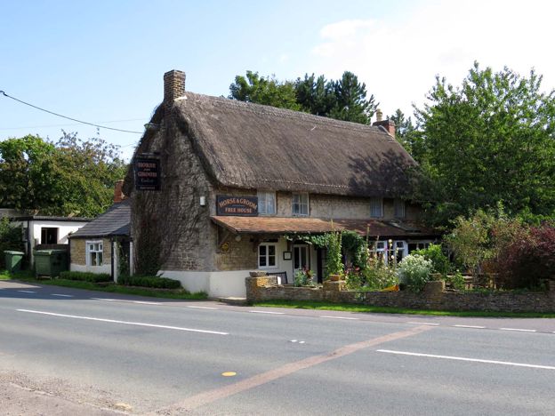
The Horse and Groom, Caulcott
Pubs · Upper and Lower Heyford
-
-
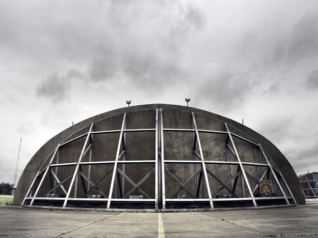
RAF Upper Heyford Cold War sites, Heyford Park
Sight · Monument · Upper and Lower Heyford
-
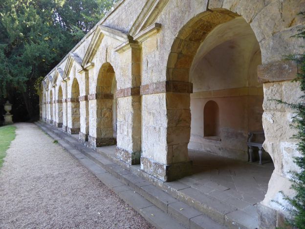
Rousham House and Garden
Sight · Historic building · Upper and Lower Heyford
-
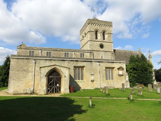
St Mary's Church, Kirtlington
Sight · Church · Kirtlington
-
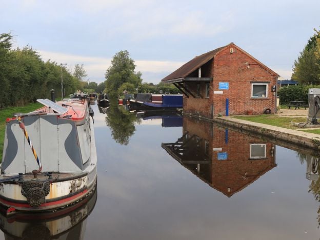
Aynho Wharf
Sight · Historic building · Aynho
-
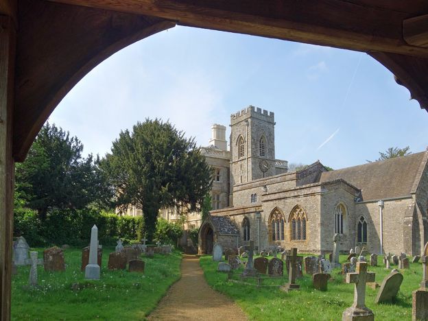
North Aston, the Causeway and Somerton Mill
Walk · Starts in Steeple Aston · 3 hrs · Circular
-
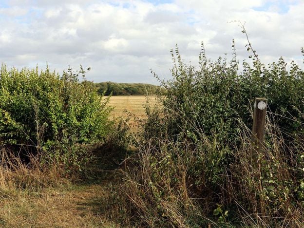
Oxfordshire Way: Kirtlington to Weston-on-the-Green
Walk · Starts in Kirtlington · 1 hr, 20 mins
Places to stay near Upper and Lower Heyford
-
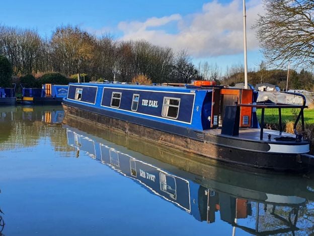
Oxfordshire Narrowboats, Lower Heyford
Self-catering · Upper and Lower Heyford
Self-drive narrowboat holidays, short breaks and day boats from Heyford Wharf on the Oxford Canal at Lower Heyford, from mid March to the end of October, for 2 to 12 people, dogs included.
Dog-friendly · Family-friendly
Verified Nov 2026
-
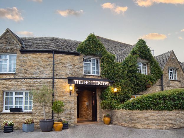
The Holt Hotel, Steeple Aston
Hotel · Steeple Aston
An independent 87-room hotel in an old coaching inn at the Hopcrofts Holt crossroads on the A4260 near Steeple Aston, with a bar, restaurant, afternoon teas and a Sunday carvery, about 15 minutes' drive from Bicester Village.
Family-friendly · Wedding venues · EV charging
Verified Nov 2026
-
The Killingworth Castle, Wootton
Restaurants
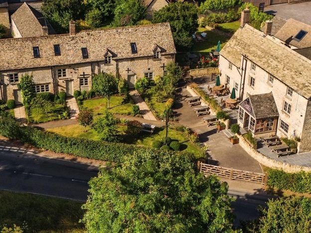
A serious dining pub with eight rooms at Wootton near Woodstock, with 3 AA Rosettes and a Michelin Guide recommendation for 2026, à la carte and tasting menus, and open from Wednesday to Sunday.
Dog-friendly · EV charging
Verified Nov 2026
Read next
-
Villages near Banbury: the prettiest, and the best to live in
Story · Guides · 14 minute read
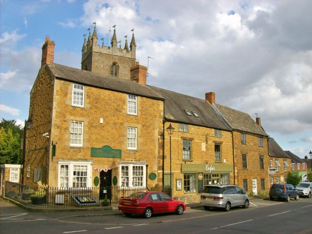
The villages near Banbury, group by group: ironstone, canal, the Edge, the Cherwell valley, the North Oxfordshire Cotswolds and South Northamptonshire. The prettiest are Great Tew and Wroxton. The best to live in are bigger, and they are not the same villages.
-
Lark Rise: Flora Thompson's Juniper Hill and the real Candleford
Story · History · 7 minute read
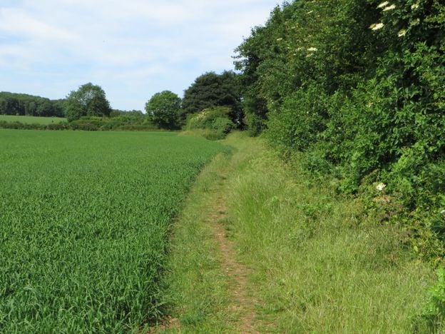
Lark Rise to Candleford began as a hamlet of about 30 cottages at Juniper Hill, between Bicester and Brackley, where Flora Thompson was born in 1876. The real places behind the books, Juniper Hill, Cottisford and Fringford, what the record says of them, and what you can see.
-
Things to do in Bicester
Story · Guides · 8 minute read
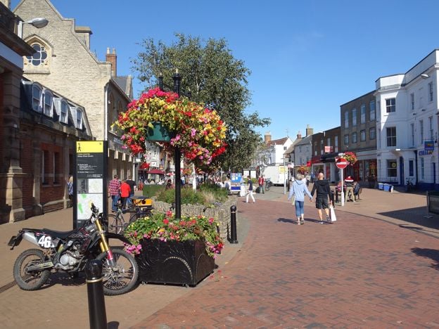
Things to do in Bicester: St Edburg's Church, the Market Square and the Friday market, the town trail and Garth Park, Bicester Village, the Scramble days at Bicester Heritage, then the Cold War tours at Heyford Park and Rousham's garden, with what to skip.