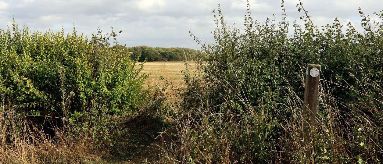
Steve Daniels, CC BY-SA 2.0, via Wikimedia Commons
Oxfordshire Way: Kirtlington to Weston-on-the-Green
A 3.3-mile (5.3km) easy one-way walk on the Oxfordshire Way from Kirtlington to Weston-on-the-Green, about 80 minutes. It crosses Kirtlington Park and open fields, with gates and three stiles, and the 24 bus links both ends, Monday to Saturday.
- Distance
- 5.3 km (3.3 mi)
- Difficulty
- Easy
- Time
- 1 hr, 20 mins
- Ascent
- 1 m
- Circular
- One way
The route
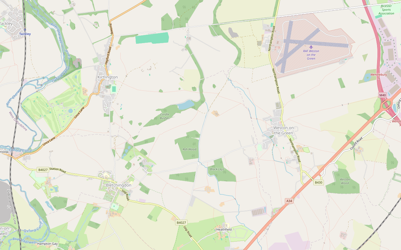
Starts at The Oxford Arms, Troy Lane, Kirtlington (OX5 3HA) follows the Oxfordshire Way for a while StilesRoad walking Download GPX
Step by step
-

Step 1: Kirtlington to the park
From the bus stop outside the Oxford Arms, walk along Troy Lane and the footpath beyond it to Church Lane, by St Mary the Virgin. Cross Heyford Road, the A4095, with care, and follow South Green, where the Oxfordshire Way runs through the south end of the village.
Where South Green ends, go through the gate onto the path east into Kirtlington Park. OpenStreetMap maps four field gates in the first 1.5km.
-
Step 2: Across Kirtlington Park
Follow the Oxfordshire Way east across the park for about 2km. The house, built for the Dashwoods in the 1740s, is listed Grade I and is still a private home; keep to the path. For about 450m in the middle, OpenStreetMap's path runs a little apart from the council's mapped right of way, so follow the waymarks.
At the far side, cross the bridleway and keep straight on along the field path, through a kissing gate, a gate and over two stiles, towards Weston-on-the-Green.
-
Step 3: Weston-on-the-Green to the Northampton Road
Come into Weston-on-the-Green by a track and Mill Lane, past the church. Keep on the Oxfordshire Way as it turns south out of the village on a footpath, through several field gates and over a stepover stile.
The path meets the Northampton Road, the B430, at the south end of the village, which is where this walk ends. The 24 bus stops in Weston at Knowle Lane and Oxford Court. The B430 is a busy road, so take care.
- Stiles
Sights on the way
The sights this walk passes, numbered as on the map.
-
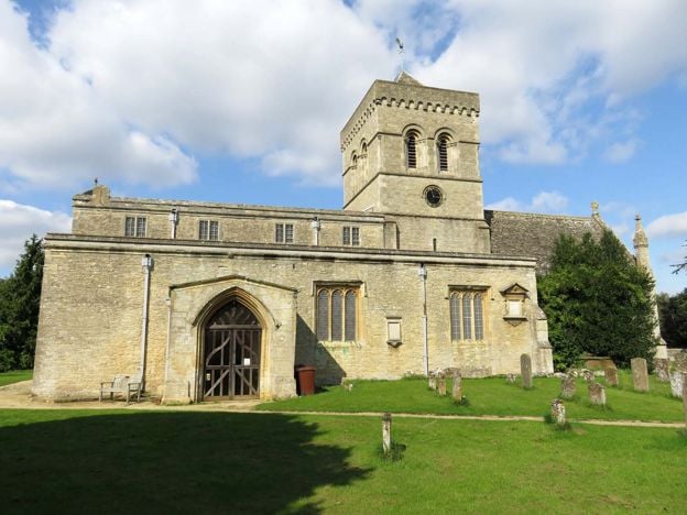
St Mary's Church, Kirtlington
Sight · Church · Kirtlington
Kirtlington's Grade II* church, with Norman arches under a Victorian tower that replaced one pulled down in 1770, late medieval paintings of St George and St Christopher, and the chapel of the Dashwoods of Kirtlington Park. Normally open in daylight.
The walk in detail
The Oxfordshire Way from Kirtlington to Weston-on-the-Green is a 3.3-mile (5.3km) one-way walk on the county's long-distance path, about 80 minutes and almost flat. It leaves Kirtlington by its church, crosses Kirtlington Park and the fields beyond and ends on the Northampton Road in Weston-on-the-Green. The 24 bus links both ends, so walk one way and ride back.
The Oxfordshire Way is Oxfordshire County Council's 65-mile path from Bourton-on-the-Water to Henley-on-Thames, and the council divides it into sections; this is its section from Kirtlington to Weston-on-the-Green, 2.4 miles, plus the walk from the Oxford Arms to the path and on through Weston to the bus. Nobody from this guide has walked it yet. Our line follows the path as OpenStreetMap's mappers record it, and we will check it on foot.
Kirtlington and its church
Start with St Mary the Virgin, right on the way out. It is listed Grade II*, with early twelfth-century tower arches, a tower of 1852 to 1854 by Benjamin Ferrey after the old one was pulled down in 1770, and late fifteenth-century wall paintings of St George and St Christopher uncovered in 1905. We found no published opening hours.
Kirtlington's feast, the Lamb Ale, is in late spring, run by Kirtlington Morris; the 2027 Lamb Ale is set for 21 to 23 May 2027. Our Kirtlington guide has the village, the fossil quarry west of it and the Lamb Ale in full.
Across Kirtlington Park
Most of the first half is Kirtlington Park, the house and grounds the Dashwoods built in the 1740s. The house is listed Grade I; John Sanderson was the architect, and 'Capability' Brown laid out the grounds between 1755 and 1762. It is a private house with no public opening that we found, so the path is the way to see the park: keep to it, and close the gates.
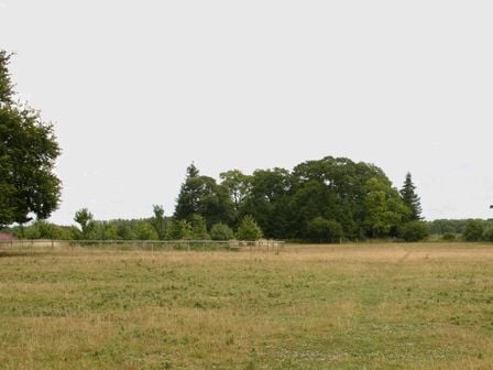
Beyond the park the path runs through open fields to Weston-on-the-Green, a village on the Northampton Road with its church just off the line. From here the Oxfordshire Way carries on south towards Islip and the Chilterns.

The Banburyshire newsletter
Events, new places and the best of the season, about once a month. Unsubscribe at any time.
What walkers should know before setting out
It is an easy walk, almost level, with a gentle fall of about 30m towards Weston. OpenStreetMap maps field gates, one kissing gate and three stiles, the last a stepover stile just before the B430, so it is not one for a pushchair. You cross the A4095 in Kirtlington and finish on the B430, a busy road. We have no report of mud, livestock or closures on this section; treat it as farmland and expect both after rain.
Check the bus before you set out. The 24 runs about every two hours, Monday to Saturday, with no Sunday service, so a missed bus is a long wait. On a Sunday, walk it there and back, about 10.6km, or drop the last 1.4km through Weston and turn round at the church.
Getting there, parking and food
Thames Travel's 24, between Bicester and Oxford by way of Weston-on-the-Green, stops outside the Oxford Arms in Kirtlington and at Knowle Lane and Oxford Court in Weston (November 2026). The easiest plan is to take it from Bicester to Kirtlington and walk back to Weston for the return. We found no public car park in Kirtlington. Tackley station, about a mile west of Kirtlington across the river, has no Oxford-bound trains stopping until 30 April 2027 while its footbridge is closed for works; northbound trains call as normal.
The Oxford Arms on Troy Lane, at the start, welcomes walkers with dogs and serves food from Wednesday to Sunday, with fish and chips on Tuesday evenings; it is closed on Mondays. We have not checked the pubs in Weston-on-the-Green.
Other walks nearby
The Heyfords Circular is the canal walk up the valley from Heyford station. In Bicester itself, the historic town trail goes round the old centre and the West Health Route through Bure Park.
Places on the way
-
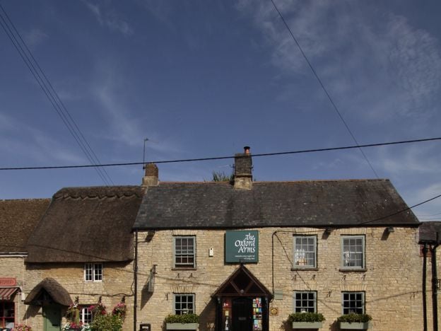
The Oxford Arms, Kirtlington
Pubs
A village pub on Troy Lane in Kirtlington, between Bicester and Woodstock, cooking British pub food with a twist, with a fish and chip night on Tuesdays and a Sunday roast with a vegan choice.
Dog-friendly · Family-friendly · Walker-friendly
Verified Nov 2026
Stay near the start
Inns, cottages and hotels within a short drive of where the walk begins, so you can set off early.
Where to stay in Kirtlington-

Oxfordshire Narrowboats, Lower Heyford
Self-catering · Upper and Lower Heyford
Self-drive narrowboat holidays, short breaks and day boats from Heyford Wharf on the Oxford Canal at Lower Heyford, from mid March to the end of October, for 2 to 12 people, dogs included.
Dog-friendly · Family-friendly
Verified Nov 2026
-
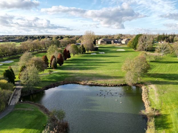
Bicester Hotel Golf and Spa
Hotel · Bicester
A 52-room Cotswold-stone hotel in Chesterton, south-west of Bicester, set on its own par-71 golf course, with a spa, gym and outdoor swimming lake for guests who book direct, Grays Restaurant, and dog-friendly rooms.
Dog-friendly · Wedding venues
Verified Nov 2026
-
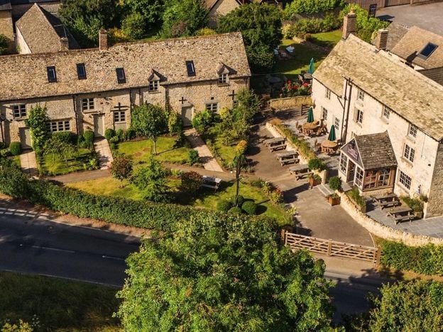
The Killingworth Castle, Wootton
Restaurants
A serious dining pub with eight rooms at Wootton near Woodstock, with 3 AA Rosettes and a Michelin Guide recommendation for 2026, à la carte and tasting menus, and open from Wednesday to Sunday.
Dog-friendly · EV charging
Verified Nov 2026
More like this
Stories on this walk
-
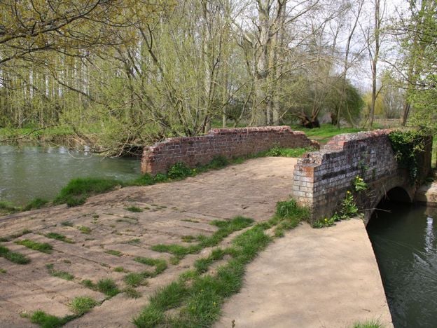
Villages between Banbury and Bicester
Story · Guides · 8 minute read
The villages between Banbury and Bicester, group by group: the Cherwell valley from Somerton to Kirtlington, the plateau villages of Souldern, Fritwell and Middleton Stoney, and the quiet country north-east of Bicester. Which are worth a stop, what each has, which have no pub.
-
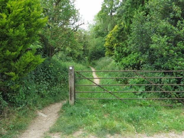
Walks near Bicester
Story · Guides · 6 minute read
Walks near Bicester: the Historic Town Trail and the West Health Route in the town, the Oxfordshire Way from Kirtlington and a circle over the Cherwell meadows to Somerton Mill, with distances, stiles, buses and the walks we are holding back.
More walks to try
-
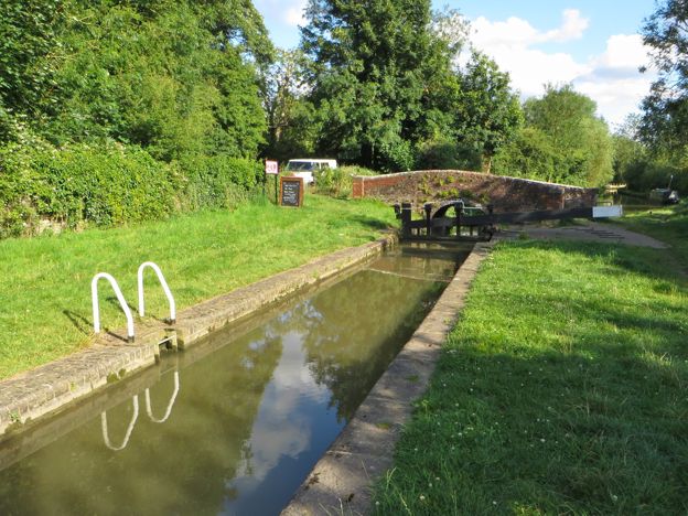
Heyfords Circular from Heyford Station
Walk · Starts in Upper and Lower Heyford · 2 hrs · Circular
The Heyfords Circular is a 3.4-mile (5.5km) easy circular walk from Heyford station, about two hours. It follows the Oxford Canal north to Allen's Lock, climbs to Upper Heyford's church and returns over fields to Lower Heyford's square. Flat, with gates, livestock and mud.
-
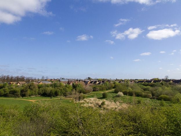
Bicester West Health Route and Bure Park
Walk · Starts in Bicester · 1 hr, 10 mins · Circular · Dog-friendly
The Bicester West Health Route is a 5K (3.1-mile) easy circular walk on a painted blue line through Bure Park and west Bicester, about 70 minutes. It is a town loop on pavements and paths, ending through a railway tunnel in Bure Park Nature Reserve.
-
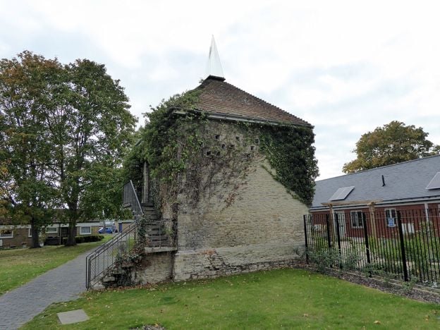
Bicester Historic Town Trail
Walk · Starts in Bicester · 1 hr, 15 mins · Circular
The Bicester Historic Town Trail is a 1.9-mile (3km) easy circular walk round the old town, about an hour and a quarter with stops. It links 25 buildings on the council's leaflet, from the priory's dovecote and St Edburg's church to Market Square, Sheep Street and Garth Park.