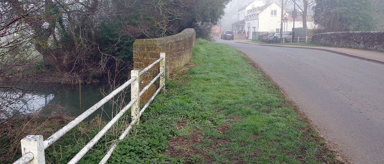
Stephen McKay, CC BY-SA 2.0, via Wikimedia Commons
Cropredy Bridge
The bridge over the River Cherwell at Cropredy, north of Banbury, where a royalist army beat Sir William Waller on 29 June 1644. This is a 1937 rebuild faced in old Hornton stone, with an inscription on its south side. Free to see at any time.
Bridge
CropredyCropredy Bridge carries the minor road from Cropredy to Williamscot over the River Cherwell, north of Banbury. The royalist army of Charles I beat Sir William Waller's Parliamentarians here on 29 June 1644. The present bridge dates from 1937, but it is on the old site, and Historic England registers the battlefield around it.
The story of the bridge
The crossing is old, even though the bridge is not. The earliest record is of work on it in 1312, and the Victoria County History notes that later medieval deeds call it the magna pons, the great bridge, or le longebrugge. It may have been restored in 1691, a date cut on a stone on the old cutwater.
By 1776 it was in need of repair, and around 1780 the western arch was rebuilt with a round head while the eastern stayed pointed. In 1886 it was widened on the downstream side. The authorities meant to use red brick, but the vicar, Dr William Wood, persuaded them to use blue brick instead, though he could not get them to use stone. Then in 1937 it was demolished and replaced by the present three-span bridge, with a concrete deck, faced with Hornton stone that includes much of the old material. The work uncovered remains of an earlier bridge inside the structure.
The Battle of Cropredy Bridge
The fight turned on three river crossings. The King's army marched north from Banbury on the east bank of the Cherwell with Waller's shadowing it on the west, and when the royalist column became strung out, leaving a gap before its rearguard, Waller tried to cut that rearguard off. He sent Lieutenant General John Middleton over Cropredy Bridge and led about 1,000 men himself across Slat Mill Ford, a mile south.
It went wrong quickly. Musketeers stopped Middleton's horse at Hays Bridge in Wardington, to the north, with an overturned carriage across it. The Earl of Northampton's brigade drove Waller back over the ford, and the Earl of Cleveland's charges pushed Middleton back to Cropredy Bridge. Parliament's foot held the bridge itself, but Waller had lost some 700 men, deserters among them, and the Royalists took his train of eleven guns. On the night of 30 June the King's army slipped away to Deddington, and Waller's army soon fell apart in mutiny. Afterwards, the Victoria County History adds, Charles slept in the parsonage at Deddington. Our story of the Civil War in Banburyshire gives the whole campaign.
What to look for
The inscription on the south side reads 'The site of the battle of Cropredy Bridge, June 1644. From Civil War Good Lord deliver us.' The 1691 stone from the old cutwater was reset in a stretch of the old bridge's wall kept in the new work, according to the 1938 account of the rebuilding. Historic England's entry notes that the bridge is a good vantage point over the field, and from it you can see the valley floor the armies fought across. The Oxford Canal runs close by, reaching Cropredy in 1778, more than a century after the battle.
Visiting and getting there
It is a public road bridge, free and always open. There are no visitor facilities, so park in the village rather than on the approach. The walk from the centre of Cropredy is short. The Battlefields Trail, a waymarked 20-mile path from Chipping Warden to Kineton, links this field with Edgehill and Edgcote, and the Battlefields Trust publishes a free leaflet with directions. The Trust says the Cropredy and Edgehill sections have many stiles.
Nearby
The village of Cropredy has the canal, and the towpath runs south to Tooley's Historic Boatyard in Banbury. The Griffin Inn at Chipping Warden is a listed pub to the north east. Fairport's Cropredy Convention is held at Cropredy each August.
Stay and eat near Cropredy Bridge
-
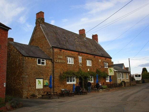
The Griffin Inn, Chipping Warden
Pubs
A Marston's village local at Chipping Warden, north-east of Banbury, with cask ales, a beer garden, a car park with accessible spaces, electric car charging and live sport.
Dog-friendly · EV charging
Verified Nov 2026
-
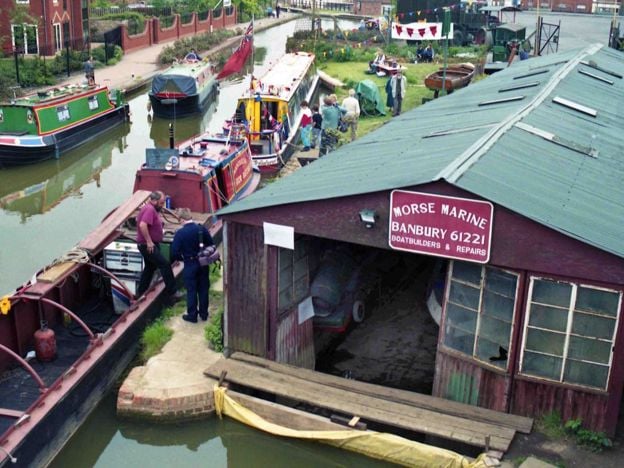
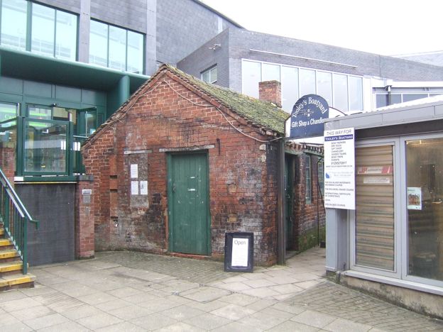
Tooley's Historic Boatyard
Historic houses and heritage · Banbury
A working dry dock and forge on the Oxford Canal in Banbury, in use since 1778 and now hemmed in by Castle Quay. Small museum in the chandlery, Saturday boat trips in summer, and blacksmith courses. A scheduled monument and the start of Tom Rolt's Narrow Boat.
Car-free
Verified Nov 2026
-
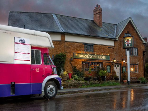
The Brasenose Arms, Cropredy
Pubs · Cropredy
A 17th-century inn on Station Road in Cropredy, with four refurbished bed and breakfast rooms, a bar and garden, and its own music fringe alongside Fairport's Cropredy Convention each August. The pub says it is the only one in the country with the name.
Verified Nov 2026
Stories about Cropredy Bridge
-
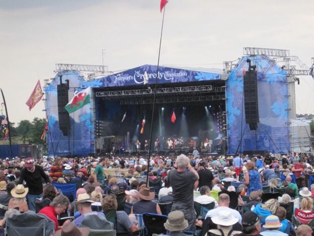
Cropredy camping guide: the fields, the village and the canal
Story · Guides · 11 minute read
An independent guide to camping at Fairport's Cropredy Convention: stickers and prices, arrival, which field takes what, glamping, sites nearby, tickets, the village, the canal and getting there, from the organisers' own pages.
-
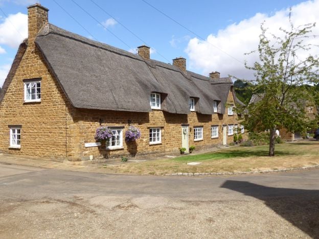
Hornton stone and the ironstone villages: why Banburyshire is brown
Story · History · 5 minute read
Hornton stone is the rusty ironstone that colours the villages around Banbury. It is a band of Jurassic rock no more than about 10m thick, quarried at Hornton and on Edge Hill for centuries. Henry Moore carved it, and steelworks ate it until 1967.
-
How the Oxford Canal came to Banbury, and stopped there for 12 years
Story · History · 7 minute read
The Oxford Canal was planned in a Banbury inn in 1768, and the first coal boats reached the town on 30 March 1778. Then the money ran out, and Banbury was the end of the line for almost 12 years. How it happened, who paid, and what is left to see.
More sights to see
-
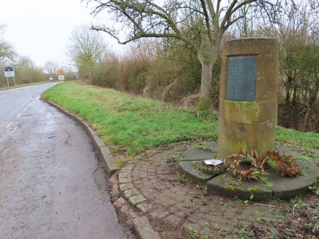
Edgehill battlefield
Sight · Monument · Edgehill and Radway
The first pitched battle of the English Civil War was fought below Edge Hill on 23 October 1642. Most of the field is now closed Ministry of Defence land, so you see it from the ridge and from a roadside memorial stone. Registered by Historic England.
-
Deddington Castle
Sight · Castle or ruin · Deddington
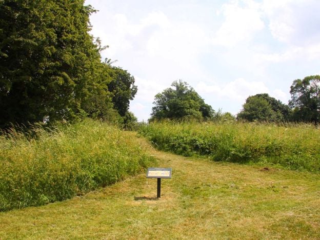
Grassy ramparts up to 15m high are what is left of Deddington's Norman castle, which belonged to William the Conqueror's half-brother. Now the village park and sports field, free in daylight, with English Heritage caring for the inner bailey. Earthworks only.
-
Spiceball Country Park, Banbury
Sight · Common or park · Banbury
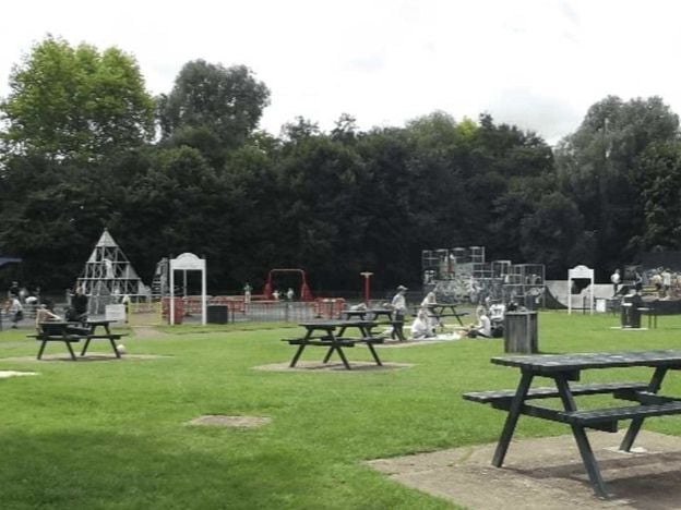
Banbury's largest park, 26 acres split by the River Cherwell with the Oxford Canal along one edge: play area and skate ramps on the town side, woodland walks and nature trails across the wooden bridges. Free, with free parking on Grimsbury Green.