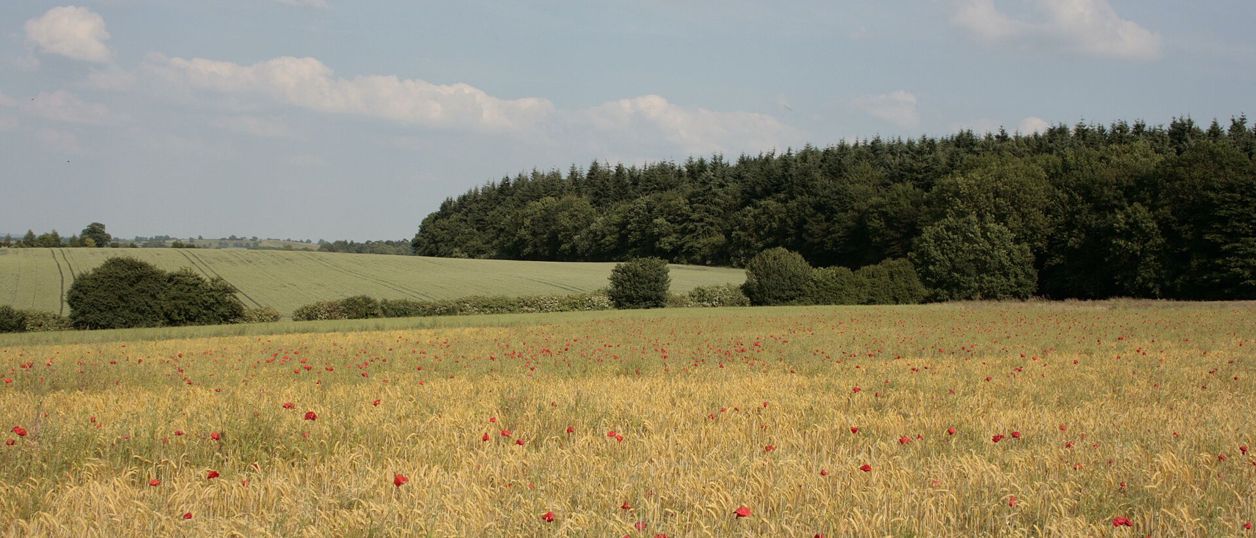
Dorota Russell, CC BY-SA 2.0, via Wikimedia Commons
Badby Woods and Fawsley
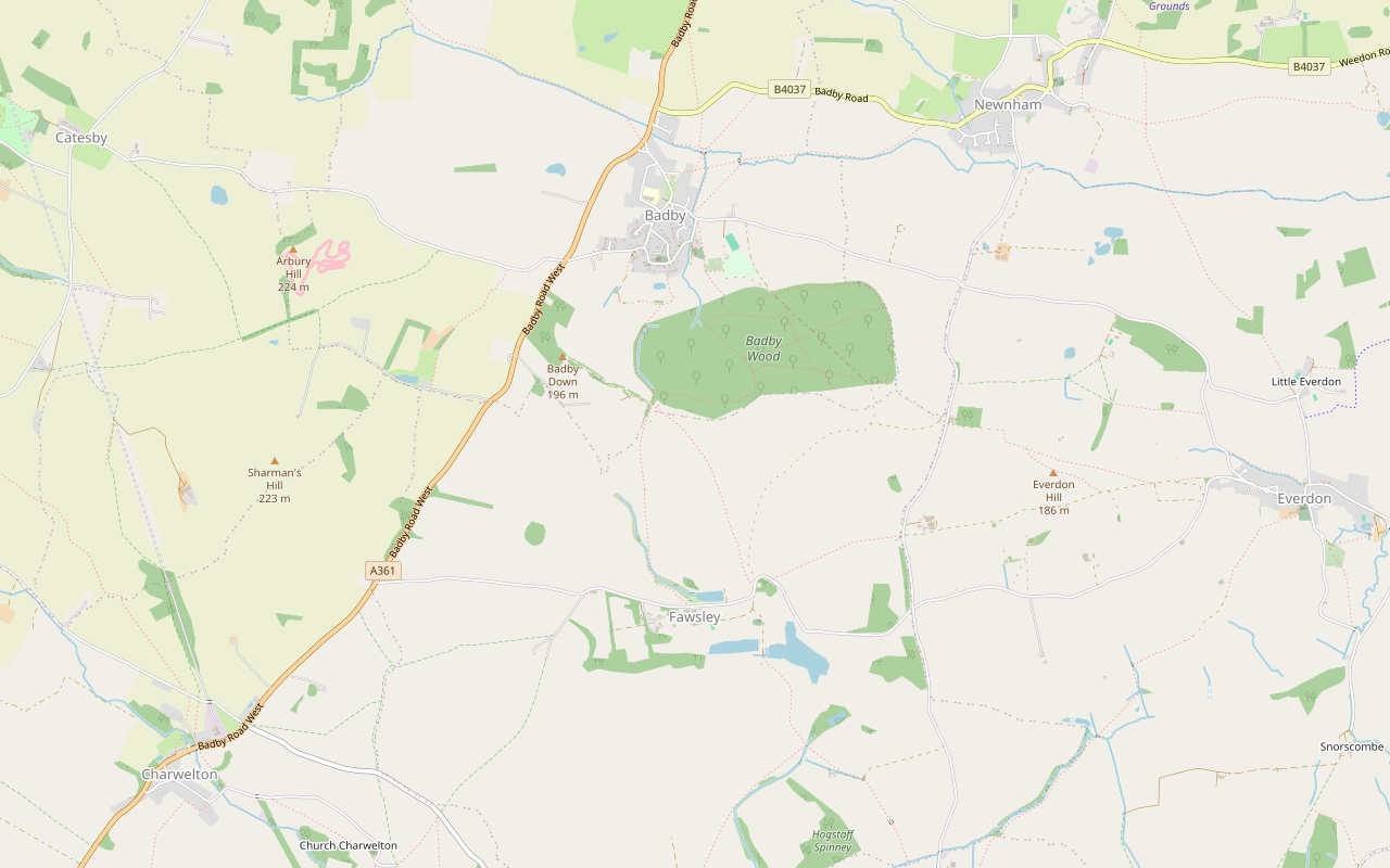
A 2.9-mile (4.7km) circular walk from Fawsley across the old deer park to the edge of Badby Woods and up to Badby church, moderate and about an hour and a half, with about 120m of climbing. It follows the county council's Southern Circular and the Knightley Way.
- Distance
- 4.7 km (2.9 mi)
- Difficulty
- Moderate
- Time
- 1 hr, 30 mins
- Ascent
- 123 m
- Circular
- Circular
The route
Starts at Car park at Fawsley, by the Horse Pond follows the Knightley Way for a while Steep sectionMuddy in winterLivestock in fields Download GPX
Step by step
-
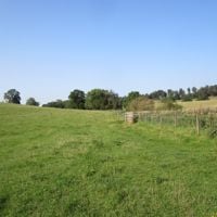
Step 1: Fawsley to the corner of Badby Wood
From the car park at Fawsley, walk west along the estate road past the Horse Pond for about 400m to the kissing gate on the right. Take the public footpath north across the open parkland, once part of Fawsley Hall's landscape park, through a series of kissing gates.
The path climbs steadily for about 1.2km to the south-west corner of Badby Wood, the highest point of the walk at a little under 200m. Here it meets the Knightley Way.
-
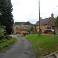
Step 2: The Knightley Way to Badby church
Turn left onto the Knightley Way and follow it north along the edge of the wood, then down across the fields through kissing gates towards Badby. It drops about 50m in 600m. Keep to the Knightley Way: it is the only public right of way in the wood, and the other paths inside it are permissive.
The path comes out on Church Hill opposite St Mary the Virgin, Badby's church. Turn round on Church Green, below the church, for the way back.
- Steep section
- Muddy in winter
-
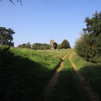
Step 3: Back across the park to Fawsley
Retrace your steps up the Knightley Way to the south-west corner of the wood. Here, instead of the path you came on, follow the Knightley Way south-east across the open park, through kissing gates, for about a kilometre back to the car park at Fawsley. Fawsley's church of St Mary stands on its knoll about 200m south of the car park, a short detour.
Sights on the way
The sights this walk passes, numbered as on the map.
-
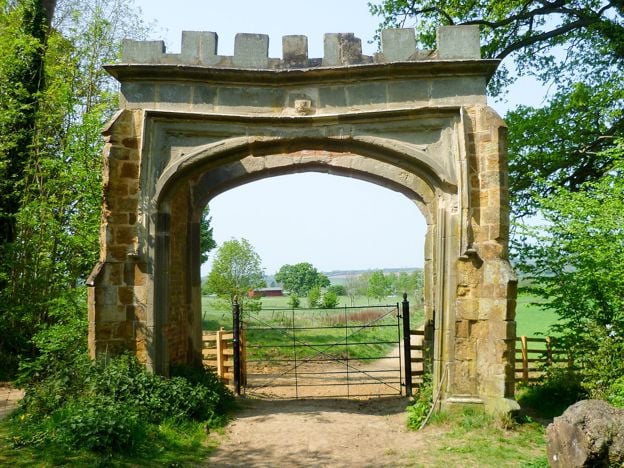
Badby Woods
Sight · Wood · Badby
An ancient bluebell wood at Badby, Northamptonshire, on the Fawsley estate: woodland for over 700 years, a deer park from 1246 and now an SSSI. Free and private, on permissive paths. Bluebells usually peak from late April into early May, and parking is for about 12 cars.
-
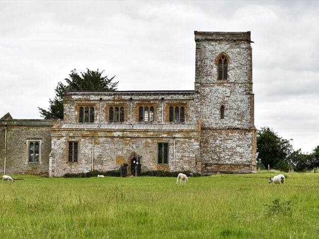
St Mary's Church, Fawsley
Sight · Church · Fawsley
A Grade I church standing alone in Fawsley's park, its village long gone, filled with Knightley tombs, brasses and box pews, with Washington arms in a window. Open daily, says the church, across a field and a ha-ha.
-
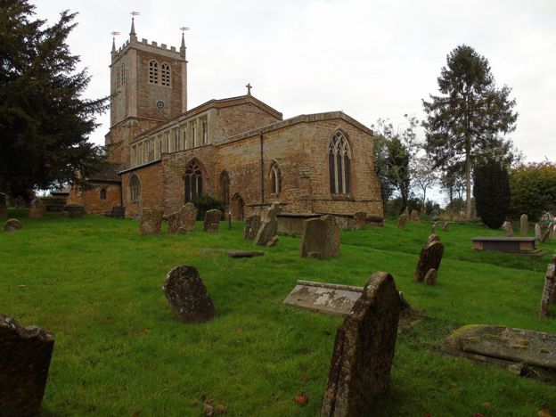
St Mary's Church, Badby
Sight · Church · Badby
Badby's Grade II* ironstone church on the hill above the greens, with a tower rebuilt after the old one fell in 1705, glass with the arms of Evesham Abbey, and the start of the Knightley Way opposite. Open every day, 10am to 4pm.
The walk in detail
Badby Woods and Fawsley is a 2.9-mile (4.7km) circular walk on the Fawsley estate in south-west Northamptonshire, from the car park at Fawsley to the church at Badby and back. It is moderate, with about 120m of climbing, and takes about an hour and a half. It follows Northamptonshire County Council's Southern Circular, from its Badby walks leaflet of 2003, and for most of the way the Knightley Way, which the leaflet calls a 12-mile county footpath from Badby to Greens Norton.
The leaflet gives the walk as 2.3 miles. Our line uses the same paths and measures 2.9 miles, so we give that figure. Either way it is a short walk with a stiff climb in the middle.
Fawsley and its park
Fawsley is an estate rather than a village. Richard Knightley, a Staffordshire lawyer, bought the manor in 1416, and his family held it until the 1930s, gaining Badby after the dissolution of Evesham Abbey. The Tudor hall was begun by Sir Richard Knightley, who died in 1534, and Sir Edmund Knightley added its great hall in 1537; Elizabeth I visited in 1575. It is now Fawsley Hall Hotel and Spa.
The park around it covers over 330 hectares of wood, parkland and lakes. Its origins lie in a 13th-century deer park of Evesham Abbey, and its look comes from the 18th century, when Capability Brown worked on the double lakes, the leaflet says. The lakes cover the site of the village that once stood here. The walk crosses the open park on both legs, so expect grazing animals.
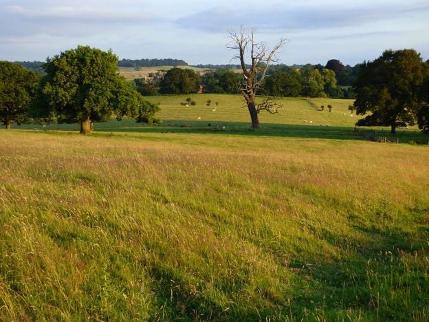
Badby Wood
Badby Woods is ancient woodland, growing for over 700 years, the leaflet says, mainly native hazel and oak, and most of it has been a Site of Special Scientific Interest since 1985. It was imparked as a deer park for the abbot of Evesham in 1245 to 1246, and the banks of its park pale still run round much of the wood. The bluebells are the draw in spring, though the parish warns that nature does not always oblige on Bluebell Sunday.
The wood is private, on the Fawsley estate, but open to visitors. The Knightley Way along its edge is the only public right of way; the other paths inside are permissive. This walk keeps to the Knightley Way, so for the bluebells either walk in from Badby on the permissive paths or come back another day.
Badby
Badby is an ironstone and thatch village round its greens, and the walk reaches it at the top, by the church of St Mary the Virgin. Historic England dates the church to the 14th and 15th centuries, restored from 1880, and the leaflet warns of a steep climb up to it from the green. On Bluebell Sunday, the first Sunday in May, now extended to the bank holiday Monday, Badby Village Hall serves teas, and the village gets busy.

The Banburyshire newsletter
Events, new places and the best of the season, about once a month. Unsubscribe at any time.
Fawsley church
Before you leave, walk the 200m south from the car park to Fawsley's church of St Mary, standing alone on a grassy knoll inside a ha-ha. The county's leaflet notes the Knightley family tombs, including 16th-century effigies of Sir Richard Knightley and his wife Jane, and carved poppy heads, and the National Churches Trust says the Washington family's heraldic glass in the north aisle came from Sulgrave Manor in 1830. The Trust lists the church as open daily from 9.30am to 5pm, though it may close in bad weather to keep out mud from the fields.
Parking, food and the route
OpenStreetMap maps the car park at Fawsley as free, though we have not confirmed it, and the county's leaflet suggests parking at Fawsley, because parking in Badby is extremely limited and never allowed on the greens. We found no café on the walk and have not confirmed a pub in Badby trading in 2026, so bring what you need.
Nearby, Canons Ashby, the Dryden family's Elizabethan manor in the National Trust's care, is a short drive south-east. The Sulgrave and Culworth circular is another parish walk in the same corner of the county, and the Kings Sutton station walk starts from a station further south.
This route is drawn, not recorded: we drew it along the paths the leaflet names, as OpenStreetMap maps them, and checked it against West Northamptonshire Council's rights of way data. Nobody from this guide has walked it yet, and a walk-through is still to come.
Places on the way
-
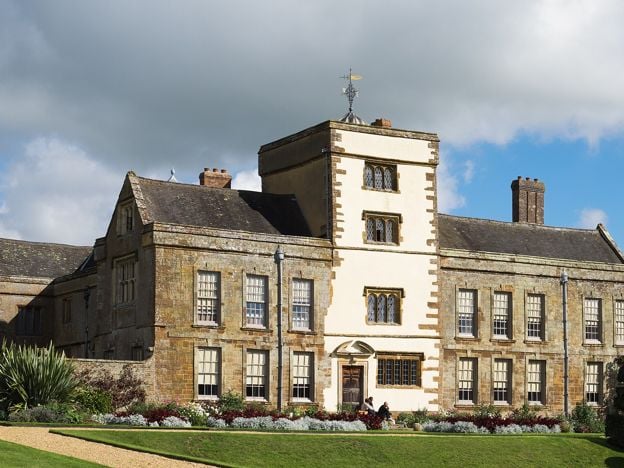
Canons Ashby
Historic houses and heritage
The Dryden family's Elizabethan manor house in south Northamptonshire, with painted rooms, Jacobean plasterwork and terraced gardens, beside the surviving church of a medieval priory. National Trust, north east of Banbury.
Dog-friendly
Verified Nov 2026
-
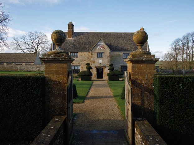
Sulgrave Manor
Historic houses and heritage · Sulgrave
The Tudor manor house built by George Washington's English ancestors, in Sulgrave north east of Banbury, and a museum of the Anglo-American link since 1921. Open Sundays to Tuesdays in season, walk-ins welcome. Closed for the winter until March 2027.
Family-friendly
Verified Nov 2026
More like this
Stories on this walk
-
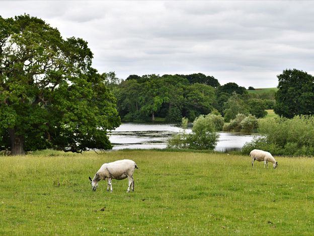
Fawsley and the Knightleys: a lost village, a secret press and 500 years
Story · History · 7 minute read
The Knightleys bought Fawsley, near Daventry, in 1416 and cleared its village for sheep. They built a Tudor hall, hid a puritan press in 1588 and held the estate for about 500 years. The village is gone, and the church stands alone in the park with their tombs.
More walks to try
-
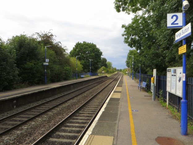
Kings Sutton Railway Walk from the Station
Walk · Starts in Kings Sutton · 2 hrs · Circular
A 4.4-mile (7.1km) circular walk from Kings Sutton station on the parish's own Railway route, easy to moderate and about two hours. It climbs through the village past the spire, crosses fields north, and returns over the railway line on foot by the old Bog Spring.
-
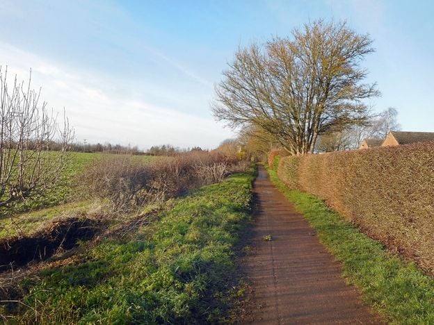
Banbury Fringe Circular Walk
Walk · Starts in Banbury · 5 hrs · Circular
A 10.6-mile (17.1km) waymarked circular walk round the edge of Banbury, moderate and about five hours: the Oxford Canal south to Bodicote, the Salt Way past Crouch Hill, field and wood paths by Giant's Cave, and an old ironstone railway back to the canal.
-
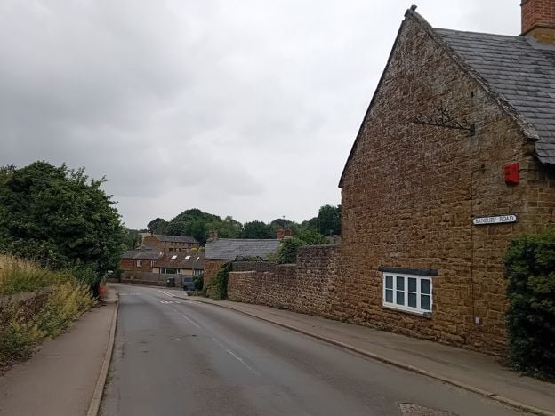
Banbury Ironstone Heritage Walk
Walk · Starts in Banbury · 4 hrs · Circular
The Banbury Ironstone Heritage Walk is a 9.6-mile (15.5km) moderate circular walk from Banbury station, about four hours with 180m of climbing. It follows the canal, skirts the northern estates, reaches Wroxton and North Newington, and ends at Banbury Cross.