Banbury heritage walk: a self-guided town centre route
Under a mile, seven stops and nothing to pay. This is the short walk that shows how Banbury got its shape, from the rhyme at the top of the town to the canal at the bottom.
· 6 minute read
The Banbury heritage walk is a free, self-guided route through the centre of Banbury, about 0.8 miles (1.3km) from the Fine Lady statue to Tooley's Boatyard. The walking takes about 25 minutes. With time at each stop it fills about an hour, or two if you go round the museum.
It runs from the rhyme, past the church, the old inns and the market, to the canal. OpenStreetMap maps no steps on the line, but we have not checked it with a wheelchair or pushchair. Nobody from this guide has timed it on foot yet, so the times are our estimate from the distances.
Before you set off
Come on a Thursday or Saturday, when the market is on from 9am to 4pm (Cherwell District Council, 2026). Avoid the Michaelmas Fair in mid-October unless you want it, because it takes over Horse Fair and the Market Place. There are public toilets on Horse Fair, opposite the Cross. If you drive, our parking guide has every tariff, and from Banbury station it is about 15 minutes on foot to the start. The walk ends back near the station, about 450m away.
Stop 1: the Fine Lady
Start at the Fine Lady statue, on the pavement where South Bar meets West Bar. She is a bronze of the woman in the rhyme, on a plinth of local Hornton stone, unveiled by the Princess Royal on 27 April 2005 and paid for by the townspeople. Take a few minutes over the small things the town council picks out: the thirteen spring flowers in her crown, the bells on her feet, and a frog. Nobody knows who she was, and our story sets out the claims.
Stop 2: Banbury Cross
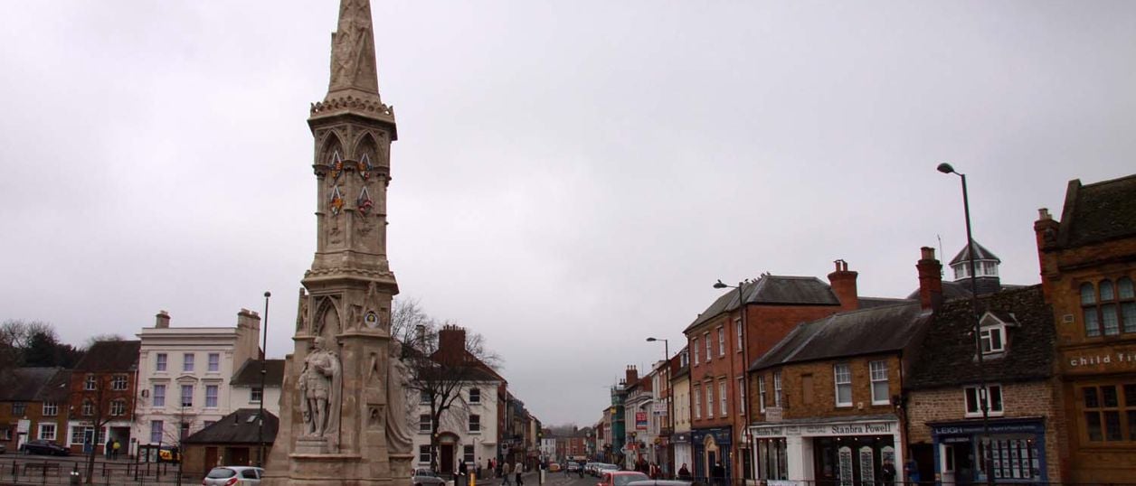
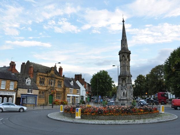
Walk about 70m to Banbury Cross and look at it from the pavement, since it stands at a road junction. This is not the cross of the rhyme. The medieval Bread Cross and High Cross were destroyed in 1600, and this monument went up about 1859 for the wedding of Queen Victoria's eldest daughter. The earliest known version of the rhyme was printed around 1744, so it cannot mean this one. The statues of Victoria, Edward VII and George V were added in 1914.
Stop 3: St Mary's Church
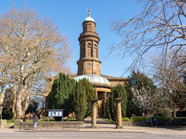
Walk north up Horse Fair for about 200m to St Mary's, the large classical church with the round tower and semicircular portico. Banbury built it after deciding its big medieval church was failing. An Act of 1790 allowed a new one, and the Victoria County History says some of the old masonry could only be brought down with gunpowder. The new church opened in 1797 and was finished by 1822. It is a working church with no published visiting hours, so see the outside and ring the parish office on 01295 276045 if you want to go in.

The Banburyshire newsletter
Events, new places and the best of the season, about once a month. Unsubscribe at any time.
Stop 4: Parsons Street and the Reine Deer
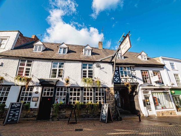
Carry on along Horse Fair into North Bar Street for about 170m, then turn right into Parsons Street, the old street of inns. About 100m along is Ye Olde Reine Deer Inn at No. 47, which dates itself to 1570 and calls itself the town's oldest pub. The reason to go in is the Globe Room, whose oak panelling had been in the inn since about 1637, according to the Art Fund, which helped buy it back. CAMRA records that the panelling was sold in 1912 and came back to Banbury in 1981.
Older guides say Cromwell used the room as a headquarters. The pub tells stories of him there too, and we treat them as lore. It is the natural lunch stop on the walk, with food from noon to 9pm every day. Ask at the bar whether the room is free before you look.
Stop 5: the Market Place
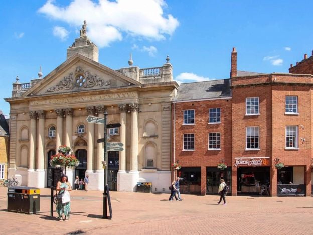
Follow Parsons Street east for about 180m into the Market Place. Banbury has traded on or around this square for nearly 900 years: tolls were being paid by 1138 or 1139, Henry II granted the bishop a Thursday market in about 1155, and the charter of 1554 confirmed it. Look up, because the upper floors are older than the shops. No. 11 has two rows of oriel windows and probably dates from about 1650, and tradition calls it the Bishop's Palace, for which the County History found no evidence. No. 16 is a sixteenth-century timber-framed house with the only notable pargetting of its kind in the town.
Banbury Castle stood just north of here. It was besieged twice in the Civil War and demolished in 1648, after the townspeople petitioned for its stone, and little or nothing of it can be seen today. Its name survives in Castle Street and Castle Quay. Our story of the Civil War in Banburyshire tells how the town lost it.
Stop 6: the Town Hall and Bridge Street
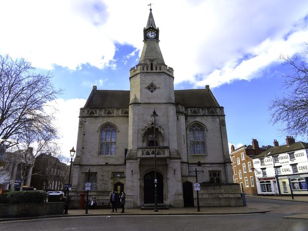
Cross the square to Bridge Street and the Town Hall, about 150m on. From here it is another 220m or so east along Bridge Street to the Oxford Canal. The Michaelmas Fair fills this street in October, along with the square you have just left.
Stop 7: the canal, the museum and Tooley's
Just before the bridge, turn left onto the canalside path behind Castle Quay, and follow it north for about 250m. Tooley's Boatyard is the end of the walk, a working dry dock and forge in use since 1778, and now hemmed in by the shopping centre. Hours are limited: the trust opens the boatyard free from 10am to 1pm, Tuesday to Saturday, and anything else needs a call to 01295 272917.
Banbury Museum and Gallery is a few steps on and free, with a cannon from Banbury Castle among its collections, and its Waterways Gallery spans the canal. If you do one indoor thing on this walk, make it this. Allow an hour.
What to do next
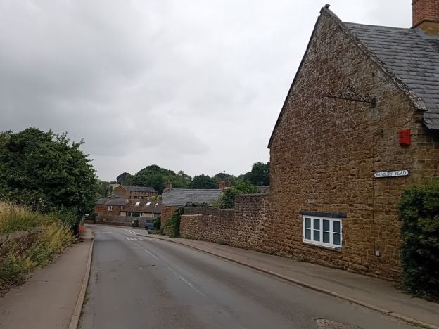
To keep walking, follow the towpath north into Spiceball Country Park. For a whole day on foot, the Banbury Ironstone Heritage Walk is the 9.6-mile version, which passes the Cross on its way home, and our guide to things to do in Banbury has the rest of the day.
Mentioned in this story
The places, sights and walks in this story, each with a page of its own: what it is, when to go and how to get there.
-
Ye Olde Reine Deer Inn, Banbury
Pubs · Banbury
-
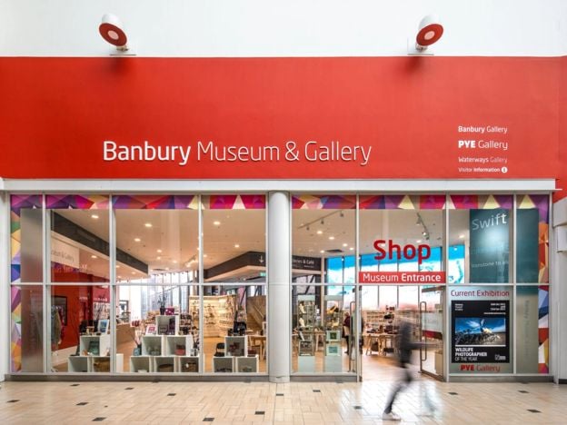
Banbury Museum and Gallery
Museums and galleries · Banbury
-
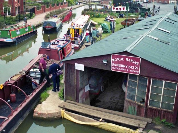
Tooley's Historic Boatyard
Historic houses and heritage · Banbury
-
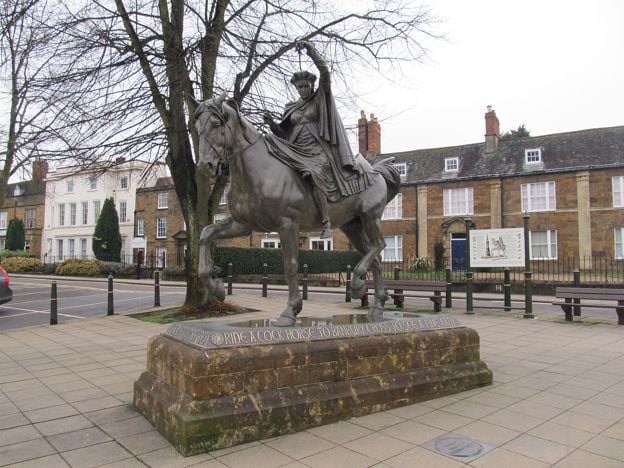
Fine Lady statue, Banbury
Sight · Monument · Banbury
-
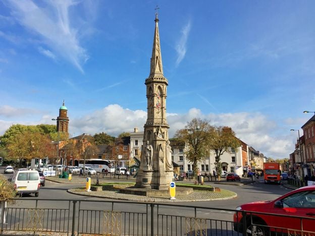
Banbury Cross
Sight · Monument · Banbury
-
St Mary's Church, Banbury
Sight · Church · Banbury
-
Banbury Market Place
Sight · Historic building · Banbury
-
Banbury Ironstone Heritage Walk
Walk · Starts in Banbury · 4 hrs · Circular
Places to stay near Banbury
-
Whately Hall Hotel, Banbury
Hotel · Banbury
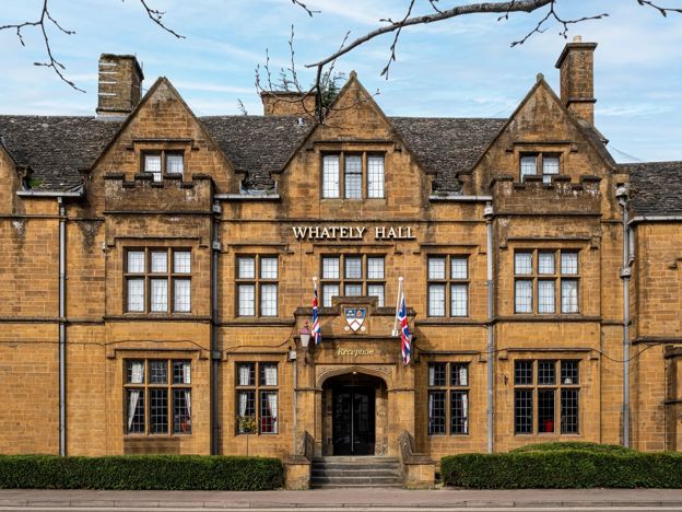
A Grade II listed 17th-century inn, now a 71-room hotel on Horse Fair in the middle of Banbury, with gardens, an oak-panelled restaurant and six EV chargers.
Dog-friendly · Family-friendly · Wedding venues
Verified Nov 2026
-
The Three Pigeons, Banbury
Pubs · Banbury
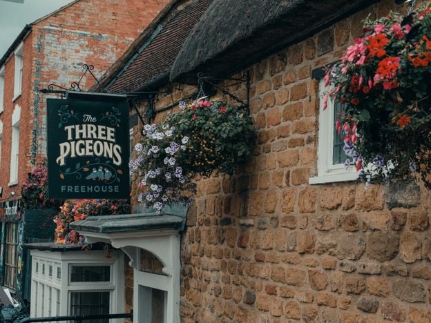
A Grade II listed 17th-century inn, partly thatched, on Southam Road, Banbury, with real ales and ciders, a courtyard, Smash Cow street food from Thursday to Saturday and three en-suite rooms.
Dog-friendly · Car-free
Verified Nov 2026
-
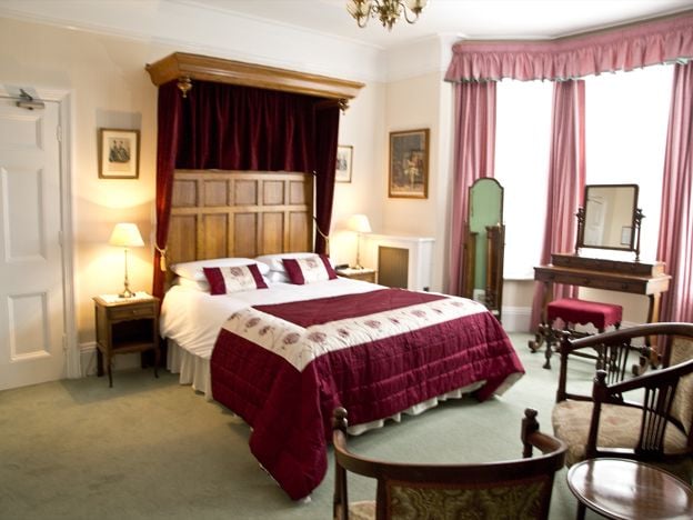
Banbury Cross Bed and Breakfast
B&B · Banbury
A family-run Victorian B&B on Broughton Road, Banbury, with seven bedrooms, about 370m from Banbury Cross, with free off-road parking, cooked breakfasts and rates from £77. No under-18s.
Car-free
Verified Nov 2026
Read next
-
Banbury Cross: the lost crosses and the fine lady
Story · History · 7 minute read
The Banbury Cross of the rhyme is gone. Banbury's own aldermen had the High Cross pulled down on 26 July 1600. The cross you can see dates from 1859 and stands somewhere else, and nobody has ever shown who the fine lady was.
-
The Civil War in Banburyshire: Edgehill, Cropredy and Banbury's sieges
Story · History · 7 minute read
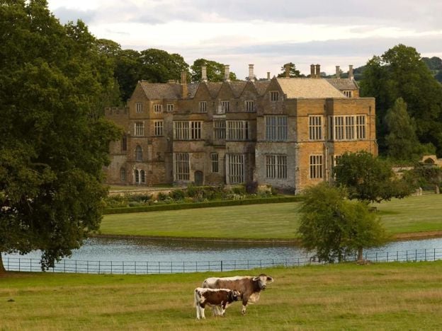
Banburyshire saw the Civil War's first great battle at Edgehill in 1642, a Royalist win at Cropredy Bridge in 1644 and two sieges of Banbury Castle. By 1648 the castle had been pulled down. Banbury lost hundreds of its people, and this is how it happened.
-
Things to do in Banbury
Story · Guides · 13 minute read
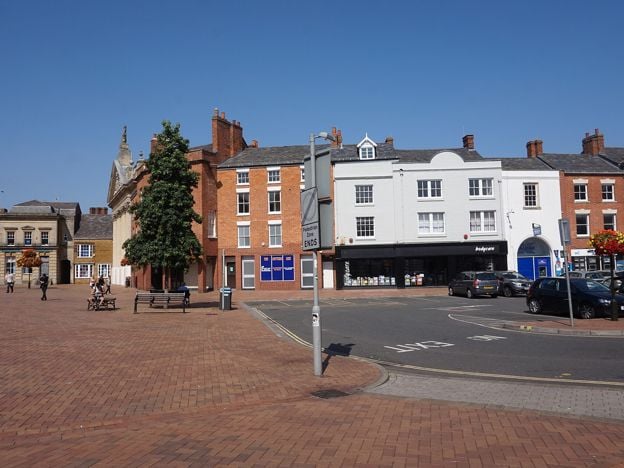
Things to do in Banbury: the Cross and the Fine Lady, the Thursday and Saturday market, the free museum and Tooley's boatyard on the canal, then Broughton Castle, Upton House and the brewery at Hook Norton, with what it costs and what to skip.