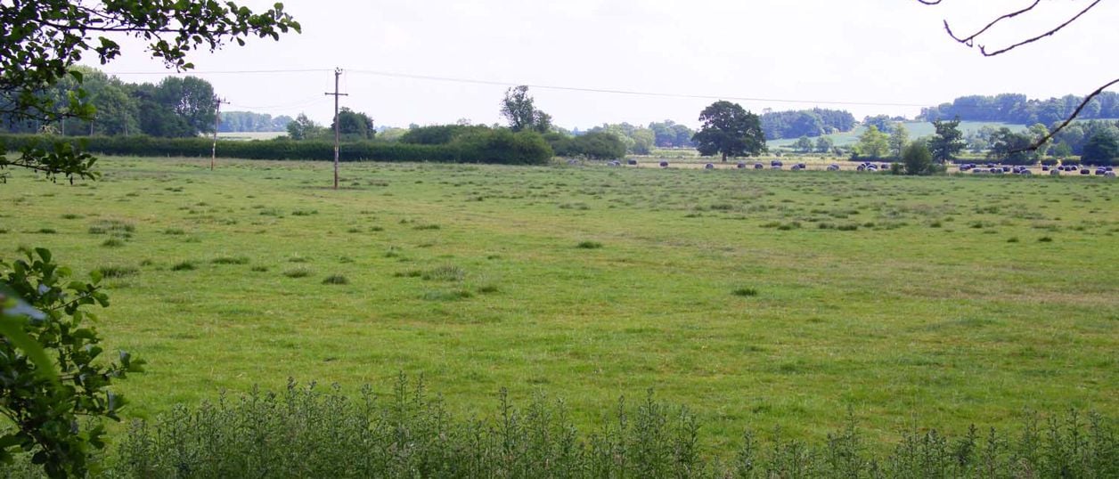
Steve Daniels, CC BY-SA 2.0, via Wikimedia Commons
Cropredy Bridge battlefield
The registered battlefield of 29 June 1644, where Charles I's army beat Sir William Waller's across the Cherwell meadows at Cropredy. Farmland now, seen from the bridge, public footpaths and the Battlefields Trust's trail.
Monument
CropredyThe battlefield of Cropredy Bridge lies in the Cherwell valley around Cropredy, north of Banbury, where Charles I's army beat Sir William Waller's Parliamentarians on 29 June 1644. Historic England registered it in 1995. It is farmland now, and the bridge, the canal towpath and the public footpaths show most of it.
The story of the battle
The battle was fought over three crossings of the river. The King's army was marching north from Banbury on the east bank of the Cherwell, with Waller shadowing it on the west. When the royalist column strung out, leaving a gap before its rearguard, Waller tried to cut the rearguard off. He sent Lieutenant General John Middleton over Cropredy Bridge and took about 1,000 men himself over Slat Mill Ford, a mile to the south.
It went wrong quickly. To the north, musketeers held Middleton's horse at Hays Bridge in Wardington, with an overturned cart across it. The Earl of Northampton's brigade drove Waller back over the ford, and the Earl of Cleveland's charges pushed Middleton back to Cropredy Bridge. Parliament's foot held the bridge, but Waller had lost about 700 men, many by desertion, and his artillery: the royalist Sir Edward Walker counted eleven pieces taken, besides two wheeled barricades of small guns. Within days Waller's army, its London City Brigade among it, fell into mutiny.
Historic England's battlefield report of 1995 places the armies' deployment from Bourton Hill to Hays Bridge, and the two key areas of the fight at the bridge with the rising ground just east of it, and at Slat Mill Ford with the rising ground to its north.
What to look for
The registered area covers two parcels, about 3km from north to south, east of the Cherwell between the river and the Banbury to Daventry road. Look for:
- Cropredy Bridge itself, rebuilt in 1937 on the old site, with the inscription on its south side and the Battlefields Trust's panel beside it
- The rising ground just east of the bridge, where the royalist cavalry came back at Middleton
- Slat Mill Ford, a mile south, where Waller crossed and was driven back. Historic England's register entry says public footpaths give good access to it
- Hays Bridge at Wardington, to the north, where the King's musketeers blocked the road
The Oxford Canal runs through the valley now, but it reached Cropredy in 1778, more than a century after the battle, so ignore it when you read the ground.
Visiting the battlefield
The field is open farmland and free to see from the public roads, footpaths and the towpath. The Battlefields Trust put up its panel beside the bridge on 26 June 2005, the first on a trail linking the fields of Edgcote, Cropredy and Edgehill. The trail, from Chipping Warden to Kineton, was finished in the autumn of 2006. Keep to the rights of way across the fields, and expect mud on the valley floor in winter.
Getting there
Park in Cropredy village rather than on the approach to the bridge. The towpath runs from Banbury, about 4 miles south, and our canal walk from Banbury to Cropredy follows it.
Nearby
The Brasenose Arms is in Cropredy, and the Griffin Inn at Chipping Warden is at the trail's start. Our story of the Civil War in Banburyshire gives the campaign, and the Edgehill battlefield is the war's first great fight, two years earlier and a few miles west.
Stay and eat near Cropredy Bridge battlefield
-
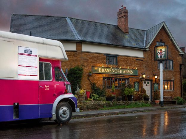
The Brasenose Arms, Cropredy
Pubs · Cropredy
A 17th-century inn on Station Road in Cropredy, with four refurbished bed and breakfast rooms, a bar and garden, and its own music fringe alongside Fairport's Cropredy Convention each August. The pub says it is the only one in the country with the name.
Verified Nov 2026
-
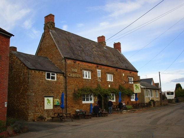
The Griffin Inn, Chipping Warden
Pubs
A Marston's village local at Chipping Warden, north-east of Banbury, with cask ales, a beer garden, a car park with accessible spaces, electric car charging and live sport.
Dog-friendly · EV charging
Verified Nov 2026
-
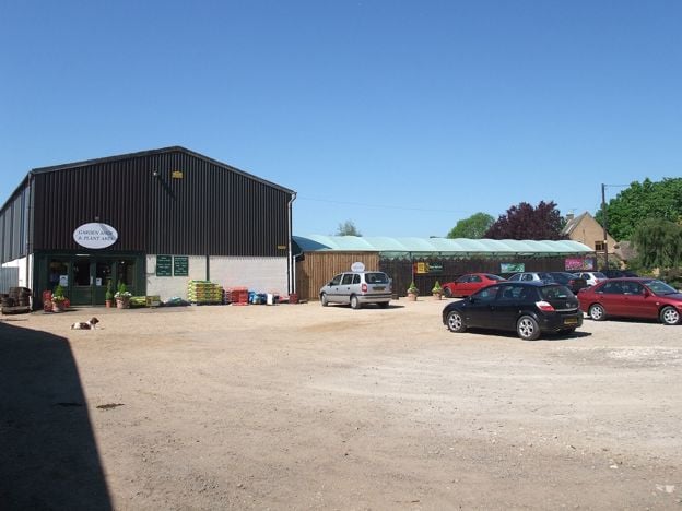
Greenhouse Cafe, Wardington
Cafes and tearooms
The café at Barn Farm Plants garden centre, Upper Wardington, near Banbury, serving homebaked cakes and freshly made food with indoor and outdoor seating, on the Jurassic Way and beside an antiques centre.
Family-friendly · Walker-friendly
Verified Nov 2026
More sights to see
-
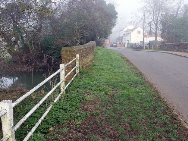
Cropredy Bridge
Sight · Bridge · Cropredy
The bridge over the River Cherwell at Cropredy, north of Banbury, where a royalist army beat Sir William Waller on 29 June 1644. This is a 1937 rebuild faced in old Hornton stone, with an inscription on its south side. Free to see at any time.
-
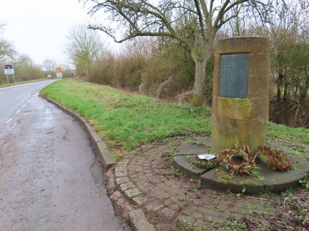
Edgehill battlefield
Sight · Monument · Edgehill and Radway
The first pitched battle of the English Civil War was fought below Edge Hill on 23 October 1642. Most of the field is now closed Ministry of Defence land, so you see it from the ridge and from a roadside memorial stone. Registered by Historic England.
-

Arbury Banks, Chipping Warden
Sight · Hill fort or barrow · Chipping Warden
The low bank of a probable Iron Age enclosure, and the ridge and furrow around it, on a hill south-west of Chipping Warden. A scheduled monument on private farmland, mostly ploughed, seen from public footpaths nearby.