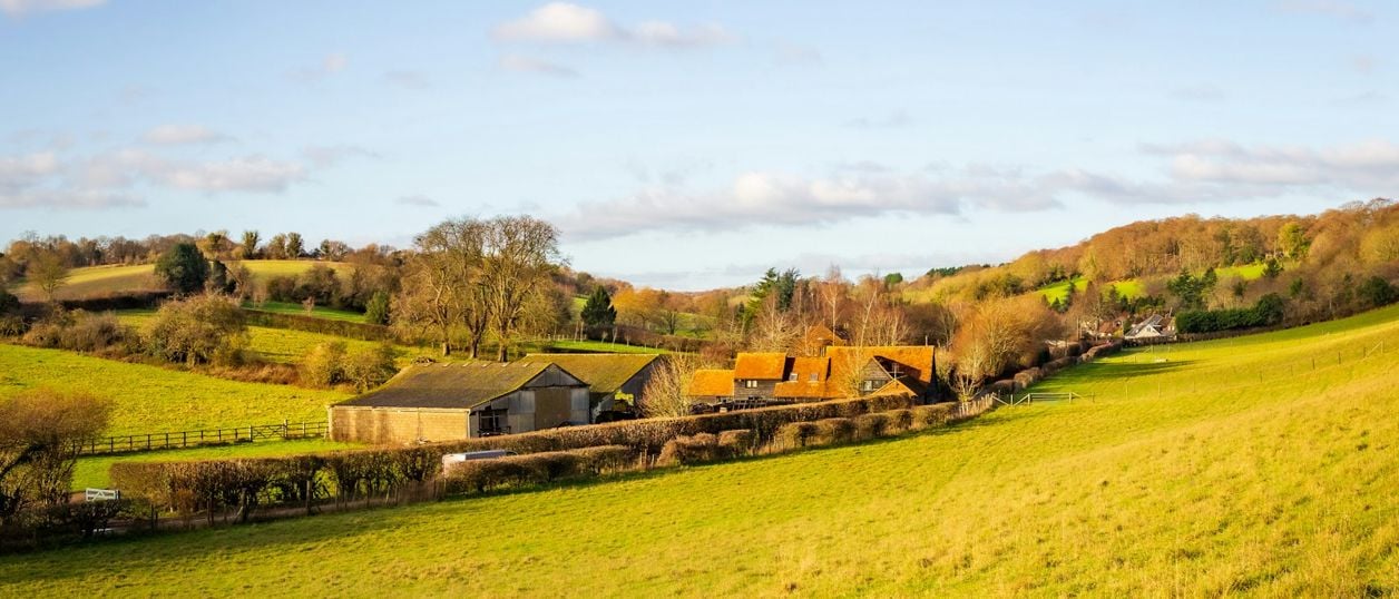
Arbury Banks, Chipping Warden
The low bank of a probable Iron Age enclosure, and the ridge and furrow around it, on a hill south-west of Chipping Warden. A scheduled monument on private farmland, mostly ploughed, seen from public footpaths nearby.
Hill fort or barrow
Chipping WardenArbury Banks is the earthwork of a probable Iron Age enclosure on a low hill south-west of Chipping Warden, north-east of Banbury. Historic England schedules it. Ploughing has worn most of it down, and it is on private farmland, so this is a place to look at from the footpaths rather than walk round.
The story of Arbury Banks
The Northamptonshire Historic Environment Record describes an enclosure of 6 to 7 acres (about 2.5 to 2.8 hectares) on the flat top of a rounded hill, mostly on Marlstone Rock at about 134m. It is hexagonal now, probably because ploughing pulled a once roughly circular shape out of true. A gold stater, of the coin type the record calls Remic, was found here, and the record suggests the site may be Belgic, that is late Iron Age, from its siting, its plan and that find. Beyond that it is cautious: the field investigator of 1970 thought it Iron Age from the lie of the land and the way it was built, and the scheduling record leaves open whether the main bank is a camp at all or a big plough headland.
The banks around it are probably later. The record treats most of the outer banks as headlands of the medieval open fields, and notes that a windmill once stood on a mound on the outer bank. The Ordnance Survey's name, Arbury Camp, belongs to the wood.
Do not confuse it with Arbury Hill near Badby. The same record calls that one a doubtful hillfort, probably a natural feature, its summit banks put down to slipping clay and early farming.
What to look for
The western part has stayed as pasture, and the scheduling record says the bank still stands about 1m above the land beside it. In the ploughed eastern part the county record has the surviving rampart at no more than 10cm, with no trace of a ditch. Look too at the ridge and furrow between the banks, which the scheduling record calls impressive, with some furrows more than 60cm deep.
Visiting Arbury Banks
There is no public access to the monument that we could find. OpenStreetMap shows public footpaths passing about 100m to 150m from the mapped site, none crossing it, so keep to them. It is farmland, so expect stock and keep dogs close.
Nearby
The Griffin Inn is in Chipping Warden. The Battlefields Trust's trail to Edgehill starts in the village, and the field of Cropredy Bridge is a short drive west. For an Iron Age fort you can see better, go to Rainsborough Camp near Aynho.
Stay and eat near Arbury Banks, Chipping Warden
-
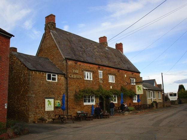
The Griffin Inn, Chipping Warden
Pubs
A Marston's village local at Chipping Warden, north-east of Banbury, with cask ales, a beer garden, a car park with accessible spaces, electric car charging and live sport.
Dog-friendly · EV charging
Verified Nov 2026
-
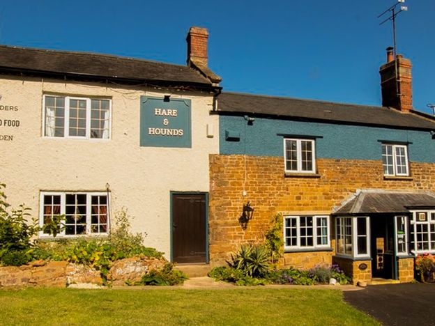
The Hare and Hounds, Wardington
Pubs
A Hook Norton pub on Edgcote Lane in Wardington, near Cropredy, with a large beer garden suited to small children and courtyard tables. Booking is advised for the Sunday roast. Camper vans stay free in the car park if you book in for a meal.
Family-friendly
Verified Nov 2026
-

Greenhouse Cafe, Wardington
Cafes and tearooms
The café at Barn Farm Plants garden centre, Upper Wardington, near Banbury, serving homebaked cakes and freshly made food with indoor and outdoor seating, on the Jurassic Way and beside an antiques centre.
Family-friendly · Walker-friendly
Verified Nov 2026
More sights to see
-
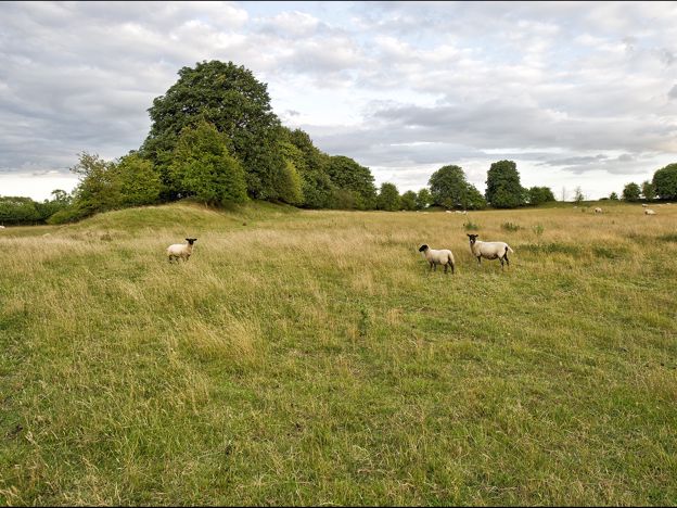
Rainsborough Camp
Sight · Hill fort or barrow · Aynho
An Iron Age hillfort with double ramparts on the plateau above the Cherwell near Aynho and Charlton, burnt in the fourth century BC and reused by the Romans. Scheduled, under pasture, on private land; a bridleway passes close by.
-
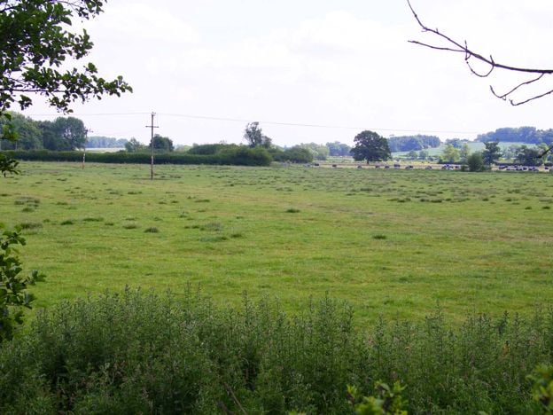
Cropredy Bridge battlefield
Sight · Monument · Cropredy
The registered battlefield of 29 June 1644, where Charles I's army beat Sir William Waller's across the Cherwell meadows at Cropredy. Farmland now, seen from the bridge, public footpaths and the Battlefields Trust's trail.
-
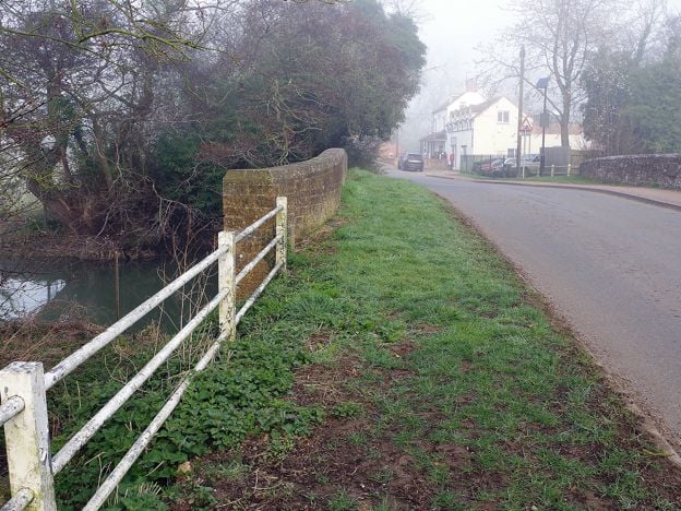
Cropredy Bridge
Sight · Bridge · Cropredy
The bridge over the River Cherwell at Cropredy, north of Banbury, where a royalist army beat Sir William Waller on 29 June 1644. This is a 1937 rebuild faced in old Hornton stone, with an inscription on its south side. Free to see at any time.